
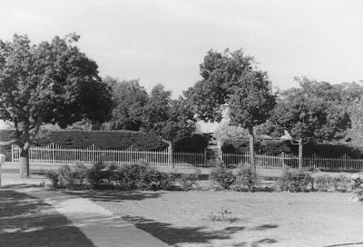
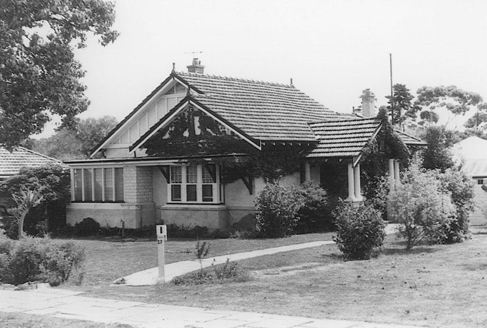
27 Riley Road, Claremont
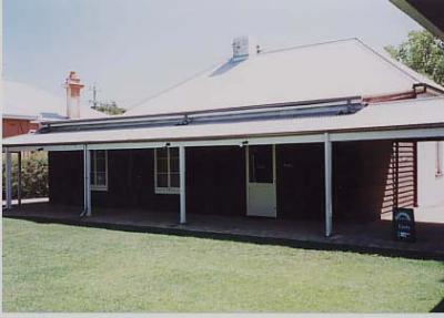
1961Front and side view of the house and front garden at 27 Riley Road, Claremont.
A building known as 'The Camp' can be seen behind the house on right of photograph.
27 Riley Road, Claremont has a land size of 1,012 m² (aka 40 perches or a quarter of acre in the 1900s terminology). The house was built in 1940 and has 5 bedrooms and 2 bathrooms. The house was built for Mary Horne Douglas (1905-1987), after her marriage in 1937 to Bernard James Bennecke (1905-1956), by her father William Selby Douglas (1865-1940).
The 'Camp' was a shack probably used during the 1910s and early 1920s as the kitchen for Public Works Department employees while they installed a gas pipeline and other amenities in the surrounding streets.
Details
Details
The Anglican Church was originally granted 100 acres (40ha) in Claremont in 1873. Swan Location 907 was created in 1886 and the resized block, now 40 acres (16ha), was granted to the West Australian Synod of the Anglican Church. Part of this land was subdivided into quarter acre housing blocks and advertised as the Glebe Estate in 1896. The Estate was bounded by Bay Road to the west, Alice Road (now Melvista Road) to the north, Stone Road to the east and Goldsmith Road at the south. Riley Road was named after Anglican Archbishop Charles Owen Leaver Riley (1854-1929).
Riley Road
Streets Of Claremont, Town Of Claremont
Open in Google Maps
Nearest geotagged records:
- 39 Riley Road, Claremont (0.14km away)
- World War 2, Western Australia, Rottnest Island AIF Enlistment, WP6252 to WX35345 GLADISH, 1942 (0.19km away)
- 11 Goldsmith Road, Claremont (0.19km away)
- View To River From 3 Riley Road, Claremont (0.27km away)
- 63 Watkins Road, Claremont (0.27km away)
- Jaguar Cars, Claremont Teachers College (0.32km away)
- Claremont Police Station (0.36km away)
- 'Hillside' 32 Agett Road (0.36km away)
- Claremont Teachers College (0.37km away)
- Henneker Children, 66 Victoria Avenue, Claremont (0.37km away)
Nearby places: View all geotagged records »
Copyright and Reference
Copyright and Reference
Acknowledgements to be made to 'Claremont Museum 05.294a'.
More items like this
Other items from Town of Claremont Museum
-
Claremont Museum
-
Claremont Museum
-
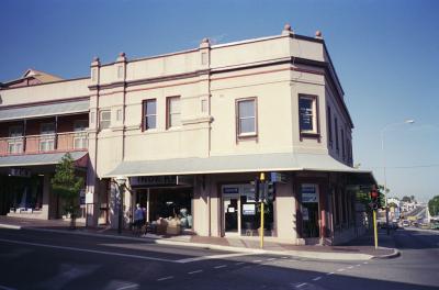
58-62 Bay View Terrace, Bay View Terrace, Claremont
-
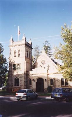
Christ Church, Claremont
-
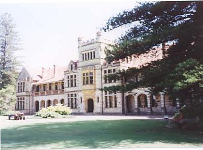
Edith Cowan University Campus, Claremont
-
Beryl Wylie In Neck-To-Knee Bathing Costume
-
Water Ballet Team, Claremont Baths
-
10 Reserve Street, Claremont
-
Rupert Ashe, Charity Collector
-
Water Ballet, Claremont Baths
-
Ellen 'Nellie' Jewell Flower
-
Sally Gair
Source: Claremont Museum 05.294a
Scan this QR code to open this page on your phone ->
