Greenough Museum and Gardens > Records
hand-drawn map of Central Greenough
c. 1920Overview
Map drawn on A4 paper using black and coloured inks.
Historical information
When the district of Greenough was colonised by Europeans, no land was set aside for a town-site. A large block of land was later subdivided at what was to become Central Greenough for a school and government building (Police station, gaol and courtroom). Over the years other buildings were erected in this vicinity, and this locality is now referred to as the Central Greenough Historic Settlement.
Details
Details
Registration number
cwa-org-72-GMOB2610
Item type
Maps
Themes
Material
Paper
Width
197 mm
Height or length
300 mm
Depth
1 mm
Inscriptions and markings
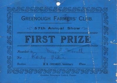
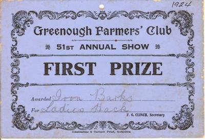
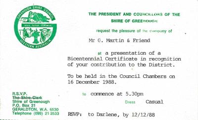
Greenough Road Board - Proposed Special Area of Greenough shown Blue (Victoria District) Scale 8chns = 1 inch
Contextual information
This is the oldest hand-drawn map in the collection and is an important reference of the development at Central Greenough.
Keywords
Place made
Year
Primary significance criteria
Historic significance
Scientific or research significance
Comparative significance criteria
Object’s condition or completeness
Last modified
Sunday, 4 December, 2022
Completeness
More items like this
Other items from Greenough Museum and Gardens
-
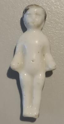
Convict Prison warden's button

-
Frozen Charlotte or pudding doll
-
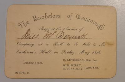
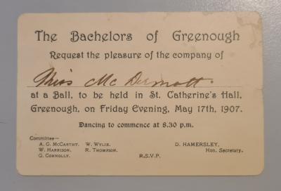
Bachelors of Greenough Invitation card
-
Invitation to a Bachelors of Greenough Ball
-
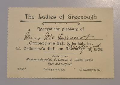
Ladies of Greenough Invitation Card
-
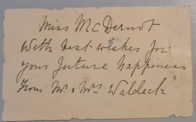
Wedding gift note from Mr & Mrs Waldeck
-
21st Birthday invitation

-
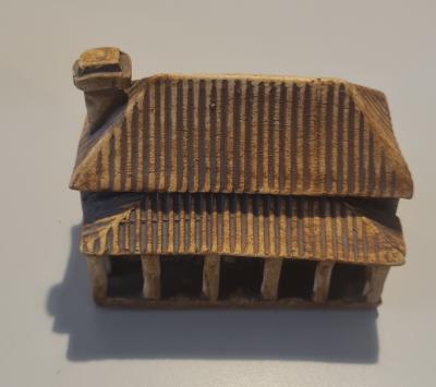
small clay model of Catholic Presbytery, Central Greenough
-
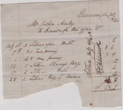
Invoice from Greenough Post Office to Mr John Maley
-
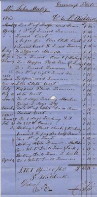
contra account for tailoring from F. Waldeck
-
Contra account for John Fox
-
Calvert's Carbolic Toothpaste lid
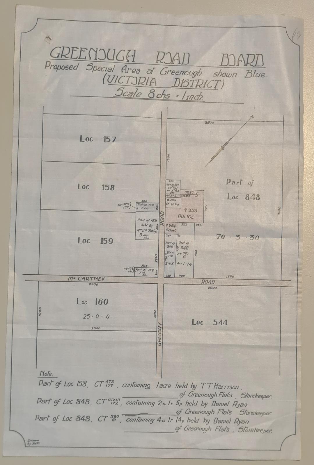
Hand-drawn map of Central Greenough c1920.
Scan this QR code to open this page on your phone ->
