Town of Claremont Museum > Records
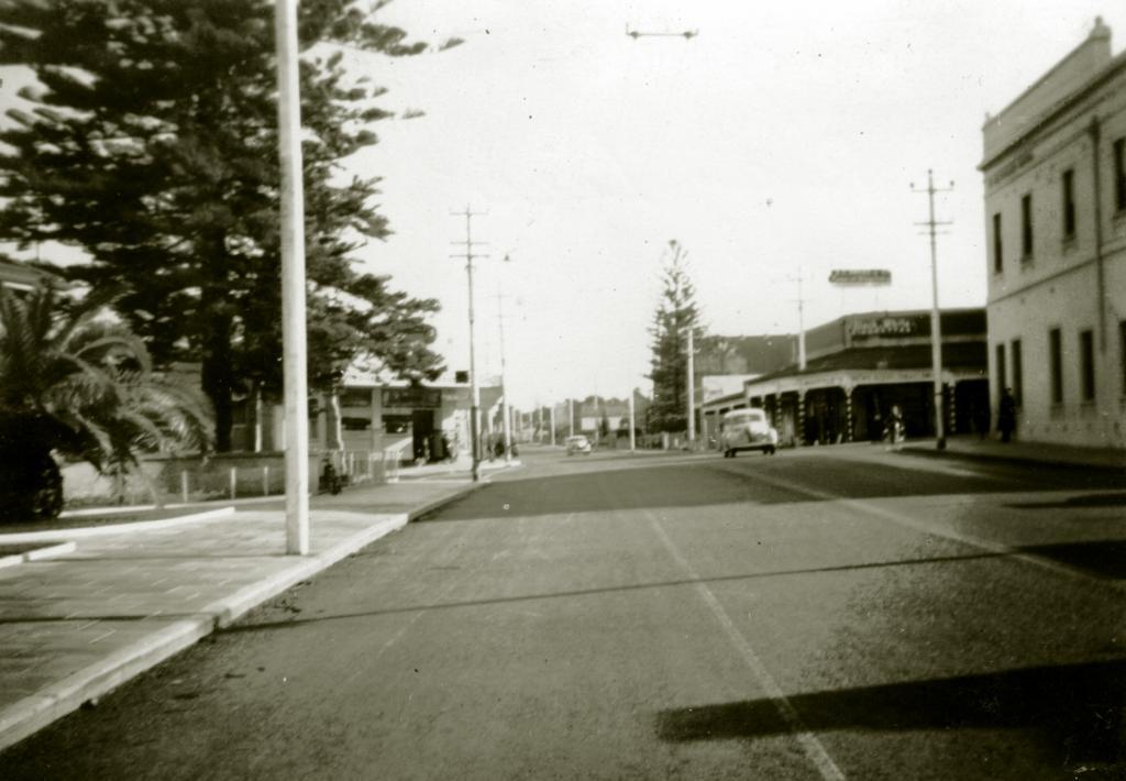
Stirling Highway, Bay View Terrace Corner
1942Overview
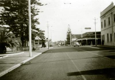
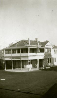
Stirling Highway looking west. The palm tree on the left is in front of the Claremont Council Chambers. The tall pine tree is on the corner of Bay View Terrace. The two storey building on the right is the National Bank and on the other corner is Whittles Newsagency. Two cars are travelling east on Stirling Highway.
Details
Details
Registration number
cwa-org-28--10-116
Item type
Photographs
Themes
Inscriptions and markings
Written on the back of the original was [Stirling H'way near Bay View Tce toward Perth]
Year
Geotag
-31.983092748781, 115.78165271492
Open in Google Maps
Nearest geotagged records:
Nearby places: View all geotagged records »
Open in Google Maps
Nearest geotagged records:
- Claremont Municipal Chambers (0km away)
- Claremont Council Chambers, Claremont Avenue (0.01km away)
- Claremont War Memorial (0.01km away)
- Bay View Terrace And Stirling Highway, Claremont (0.01km away)
- Council Buildings, Town Of Claremont (0.02km away)
- Claremont Municipal Chambers (0.02km away)
- The New Claremont Library (0.02km away)
- Claremont Municipal Chambers (0.02km away)
- Bay View Terrace South From Stirling Highway, Claremont (0.02km away)
- AWAS on Rottnest - 4WF5980 FANCOTE (married COX) (0.02km away)
Nearby places: View all geotagged records »
Links to additional resources
Claremont Museum. [www.claremont.wa.gov.au]
Last modified
Saturday, 24 August, 2024
Completeness
Copyright and Reference
Copyright and Reference
Rights category
Life of creator +70 years
Attribution requirements
Acknowledgements to be made to 'Claremont Museum 10.116'.
Rights holder
Claremont Museum, Town of Claremont, Western Australia, 6010
More items like this
Other items from Town of Claremont Museum
-
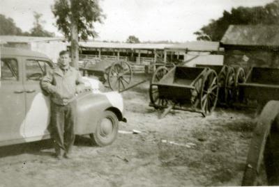
AMERICAN ARMY PERSONNEL AT CLAREMONT SHOWGROUNDS
-
CLAREMONT HOTEL
-
GIRLS AT TEMPORARY ARMY CANTEEN IN CLAREMONT SHOWGROUNDS
-
ARMY CANTEEN STAFF IN CLAREMONT SHOWGROUNDS
-
ARMY CANTEEN WORKER AT CLAREMONT SHOWGROUNDS
-
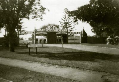
CLAREMONT OVAL IN WARTIME
-
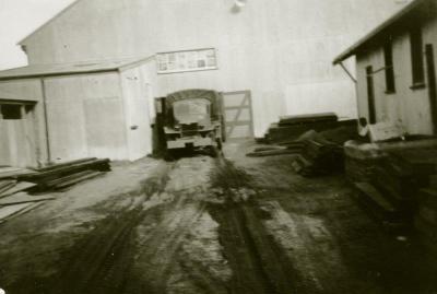
AMERICAN ARMY TRUCK AT WAREHOUSE IN CLAREMONT
-
AMERICAN ARMY OFFICER IN CAMP IN CLAREMONT SHOWGROUNDS
-
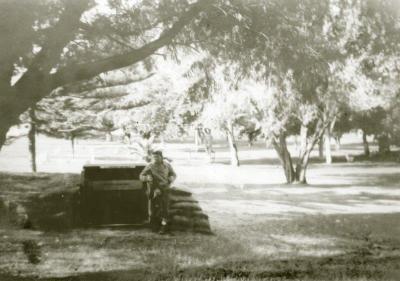
AMERICAN ARMY OFFICER AT AIR RAID SHELTER IN CLAREMONT PARK
-
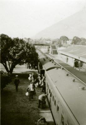
Army Troop Train, Claremont Railway Station

-
ARMY TROOP TRAIN AT CLAREMONT STATION
-
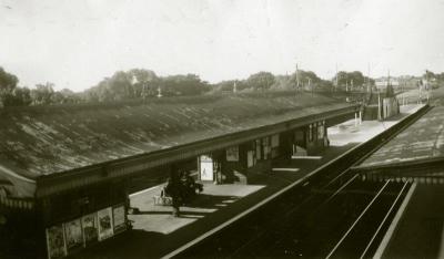
Claremont Railway Station
Stirling Highway, Bay View Terrace Corner
Source: Claremont Museum 10.116
Source: Claremont Museum 10.116
Scan this QR code to open this page on your phone ->