Bunbury Senior High School > Records
Blair Street Bunbury
1986Subcollections
Overview
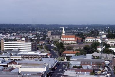
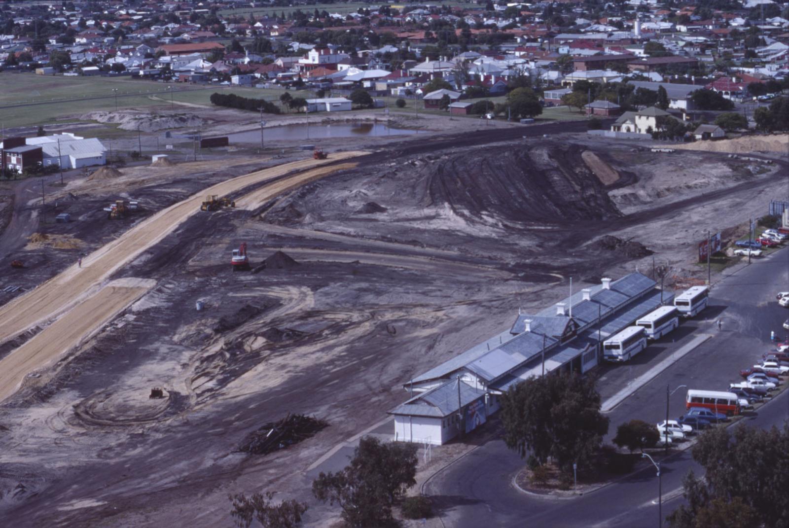
Blair Street during its re-alignment after the railway lines were removed.
In the foreground is the Bunbury Railway Station built in 1905.
Details
Details
Registration number
cwa-org-229-548.19
Item type
Photographs
Year
Public location
Boardroom
Geotag
-33.324318, 115.638701
Open in Google Maps
Nearest geotagged records:
Nearby places: View all geotagged records »
Open in Google Maps
Nearest geotagged records:
- Documentation relating to the AWAS service of WF96366 COLTON B (0.13km away)
- World War 2, Western Australia, Rottnest Island AIF Enlistment, W61505 to WX31195 ECCLESTONE, 1942 (0.22km away)
- Bunbury Tower (0.24km away)
- World War 1, Australia, Western Australia, 2 ROSEVEAR, 10 Light Horse, 1914 (0.32km away)
- Bunbury Regional Art Gallery (0.32km away)
- AWAS on Rottnest - WF93573 RUSHTON (0.36km away)
- World War 1, Australia, Western Australia, 3069 ROSE, 10 Light Horse (0.37km away)
- World War 1, Australia, Western Australia, 1641 PAISLEY, 10 Light Horse (0.37km away)
- World War 1, Australia, Western Australia, 2652 SIMMONS, 10 Light Horse (0.37km away)
- AWAS on Rottnest - WF95350 RECKNER (married DAY) (0.38km away)
Nearby places: View all geotagged records »
Last modified
Monday, 31 March, 2025
Copyright and Reference
Copyright and Reference
Attribution requirements
Acknowledgements to be made to 'Bunbury Senior High School 548.19'.
Other items from Bunbury Senior High School
-
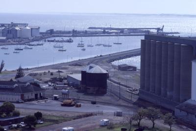
Bunbury Boat Harbour 1986
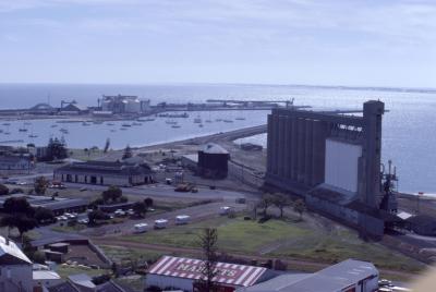
-
Bunbury Boat Harbour 1986
-
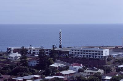
Bunbury Lighthouse 1986
-
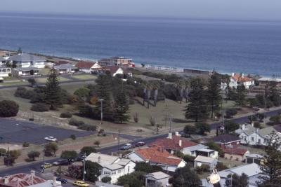
Pioneer Park 1986
-
Bunbury Cathedral 1986
-
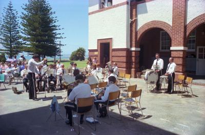
BSHS 60th Anniversary - Bunbury City Band
-
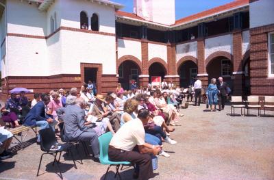
BSHS 60th Anniversary Opening Ceremony Crowd
-
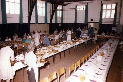
BSHS 60th Anniversary Luncheon 1983
-
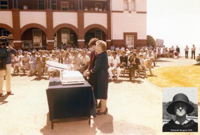
BSHS 60th Anniversary Opening Ceremony Address
-
BSHS 60th Anniversary Presentation To The City Of Bunbury
-
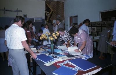
BSHS 60th Anniversary Museum
-
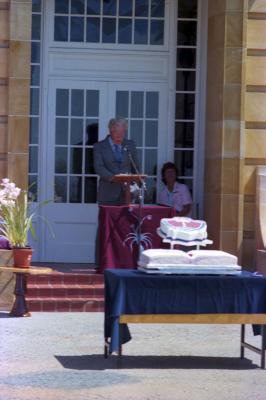
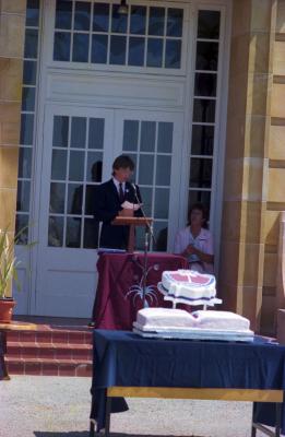
BSHS Cutting The 60th Anniversary Birthday Cake
Blair Street Bunbury
Source: Bunbury Senior High School 548.19
Source: Bunbury Senior High School 548.19
Scan this QR code to open this page on your phone ->