City of Melville Museums > Records
Map - Town of Melville, Palmyra, 1962
1962Subcollections
Overview
Map of Palmyra from 1962. Sections coloured in and key explaining this down the side.
Landmarks include Shire Council Office, Lady of Fatima School, Church, Miller Bakehouse, Cemetery, Palmyra Primary School.
Roads include Birdwood Circus, Westbury Crescent, Fraser Street, Yeovil Crescent, Bristol Avenue, Point Walter Road, Kanimbla Street, Fifth Street, Canning Highway, Boyd Street, Hammad Street, Murray Road, Waddell Road, Elvira Street, Cleopatra Street, Solomon Street, Zenobia Street, Tamar Place, Aurelian Street, Justinian Street, McGregor Road, High Street, Forrest Street, Marmion Street, Carrington Street, Adrian Street, McKimmie Street, Hannibal Street, Antony Street, Palin Street.
Details
Details
Registration number
cwa-org-137-M1994.112.2
Item type
Maps
Themes
Material
Paper
Keywords
Place made
Australia
Year
Last modified
Thursday, 3 June, 2021
Other items from City of Melville Museums
-
Street Sign - Dann Street
-
Bottle - Wine, Welby Winery, 1938
-
Ticket - Melville Road Board Tramways pass, 1927
-
Mayoral Chain - Gold Metal Chain With Blue Ribbon, 1968

-
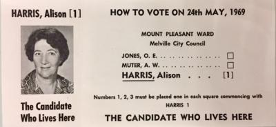
Election Material - Card, How To Vote Alison Harris, 1969
-
Road Board Rate Book - Country Ward, 1954
-
Road Board Rate Book - Brentwood Estate and Country, 1957
-
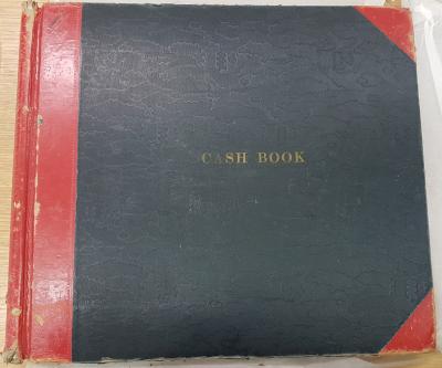
Cash Book - City of Melville, 1965-1973
-
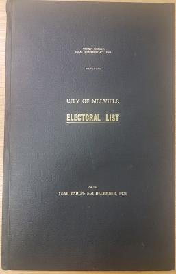
Electoral Roll - City of Melville, 1971
-
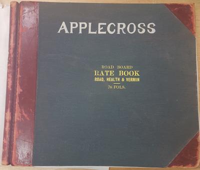
Road Board Rate Book – Applecross Ward, 1941-1942
-
Roads Board Rate Book - Palmyra Ward, 1947
-
Roads Board Rate Book - Bicton Ward, 1953