Town of Claremont Museum > Records
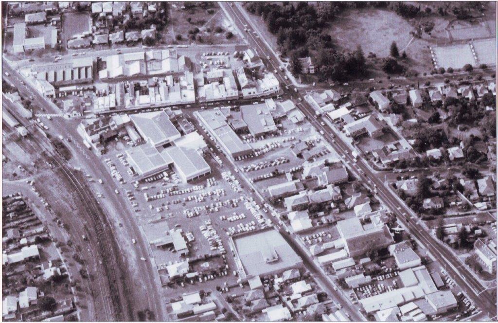
AERIAL VIEW OF CLAREMONT BUSINESS DISTRICT IN THE 1980'S
c. 1980 - 1989Overview
An aerial view from the railway line to the north, Leura Avenue to the east, Stirling Highway to the south and Stirling Road to the west. The Claremont Arcade complex dominates the Bay View Terrace, St Quentin Avenue corner. The large building to the west of this is Coles, which later became Target. Across St Quentin Avenue from Coles, the large building facing Stirling Highway is the original Drill Hall then occupied by the R.A.A.F., with a Vampire jet plane in the front on the set back from Stirling Highway. To the south of Stirling Highway is the Claremont Park with Claremont Council Chambers on the Bay View Terrace corner and bowling greens to the south. Christ Church is in the lower right hand corner of the photo.
Details
Details
Registration number
cwa-org-28--12-171-
Item type
Photographs
Year
Last modified
Wednesday, 24 September, 2025
Completeness
Other items from Town of Claremont Museum
-
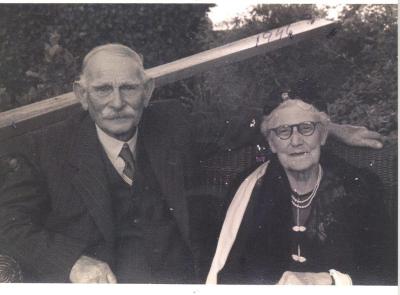
DIAMOND WEDDING PHOTO OF SAM AND KATE ROWE
-
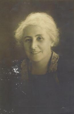
ROWE, KATE
-
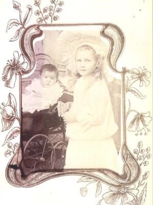
BEATRIX AND KATHLEEN ROWE
-
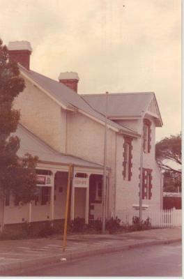
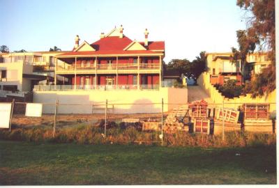
CLAREMONT RAILWAY STATION MASTER'S HOUSE
-
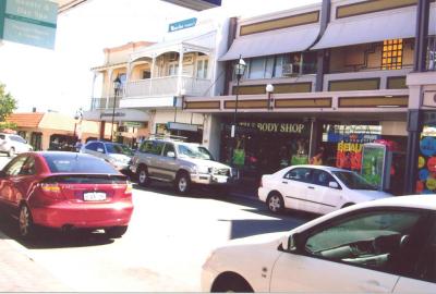
Bay View Terrace, Claremont
-
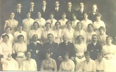
CLAREMONT TRAINING COLLEGE FINAL YEAR GROUP, 1916
-
COLWYN 50 VICTORIA AVENUE CLAREMONT AFTER RESTORATION
-
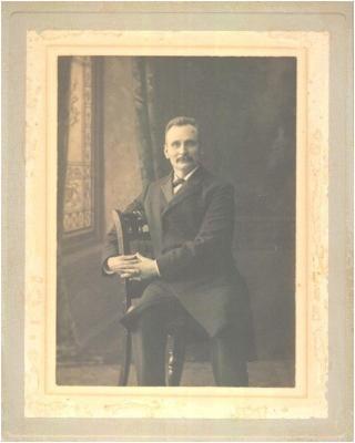
GEORGE, W.J. AND SMITH, WILLIAM
-
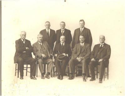
THE MITCHELL GOVERNMENT, 1924
-
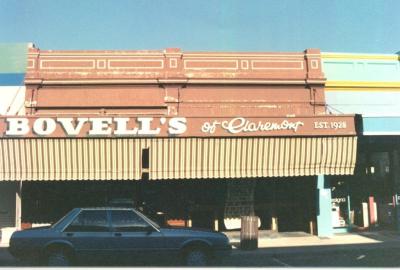
BOVELL'S OF CLAREMONT
-
BOVELL, MILLIE MARY
-
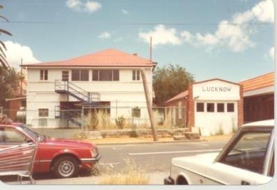
LUCKNOW HOSPITAL