World War 2, Western Australia, Rottnest Island, Coast Artillery Instrumentation, Fortress Plotter No 1 Mk 1
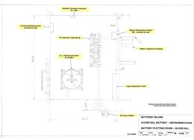
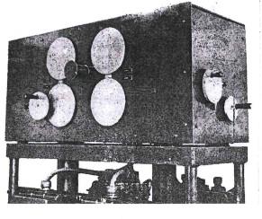
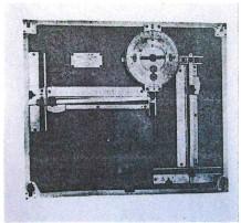
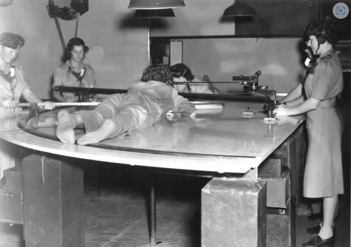
Fortress Plotter No 1 Mk 1 – The Plotting Table is intended to be used as a range finder and with the information obtained from it, the target location can be transmitted to the Battery Plotting Rooms. This would occur when conditions made use of battery Depression Range Finders unreliable.
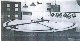
The plotter was a D shaped table with a radius of 1.98 metres (6.5 feet) gridded in the coordinates of the fortress area. Along its straight side, pivot points were fixed in the relevant position of each Fortress Observation Post. Two horizontal bearing arms were attached to the relevant Fortress Observation Post pivots allowing the arms to traverse on a runner track on the curved side of the table.
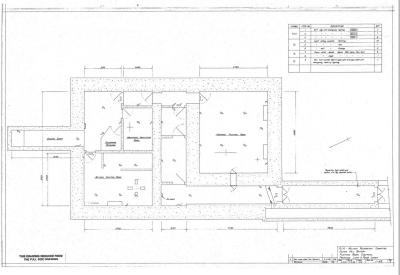
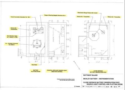
The Oliver Hill Plotting Room code name was "Plotter". The Bickley Battery Plotting Room code name was "Cross".
Details
Details
The runner track was graduated in coloured bearings, one for each of the Fortress Observation Posts. The Plotting Tables were thus customised and unique to each location. (Bickley Point was #38) In operation the bearing arms were positioned based on the information supplied by the Observation Posts with the target location being the point of intersection. A running plot traced the movement of the target enabling course and speed to be determined and communicated to the Coordinate Converter in the Battery Plotting Room.
This entry is based on research, documentation and technical drawings prepared by John Mercer during many years as a leading member of the Rottnest Island Military Restoration Committee and the Defence Heritage Interpretation Plan Group.
Australian Army Museum of Western Australia
Australian Army Museum of Western Australia
Other items from Australian Army Museum of Western Australia
- World War 2, South West Asia, Syria, Fighting the French Foreign Legion, 1942
- World War 2, South West Asia, Lebanon, Operation Exporter, 1942
- World War 2, Western Australia, Wireless Set 101
- World War 2, Western Australia, Rottnest, Oliver Hill, Battery Plotting Room, Layout, 1938
- World War 2, Western Australia, Rottnest Island, Oliver Hill, Plotting Room Complex, 1938 / 1942
- World War 2, Western Australia, Rottnest Island, Bickley Battery, Observation Post and Command, Layout
- World War 2, Western Australia, Rottnest Island, Coast Artillery Instrumentation, Converter No 103 Mk 1 (Aust)
- World War 2, Western Australia, Rottnest Island, Coast Artillery Instrumentation, Travel Correction Calculator No 1 Mk 1
- World War 2, Home front Technology Context - Kerosene Lamp
- World War 2, Home Front Technology Context - Acetylene Bicycle Lamp
- World War 2, Home Front Technology Context - Flour Sifter
- World War 2, Home Front Technology Context - Ice Chest
