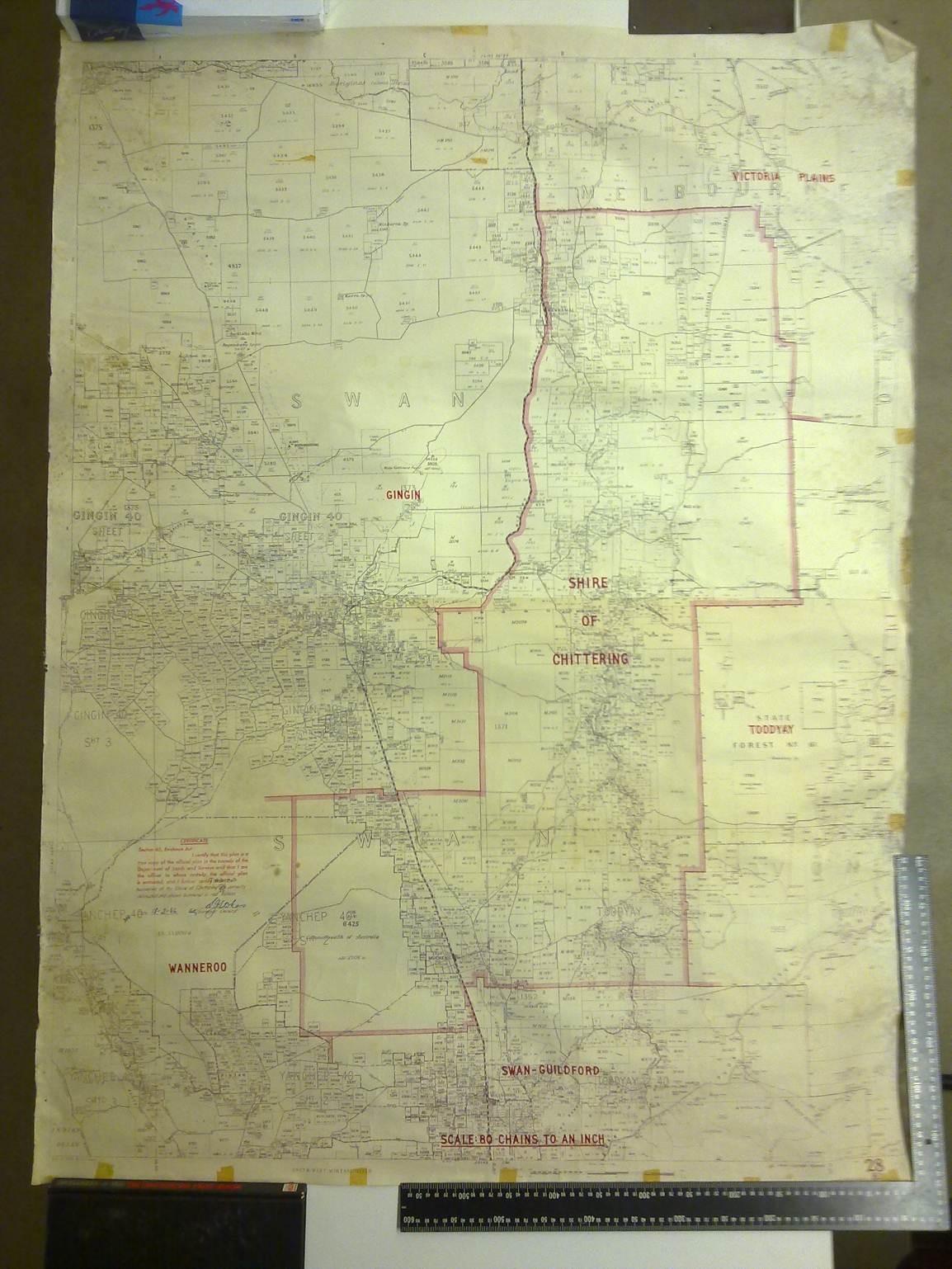
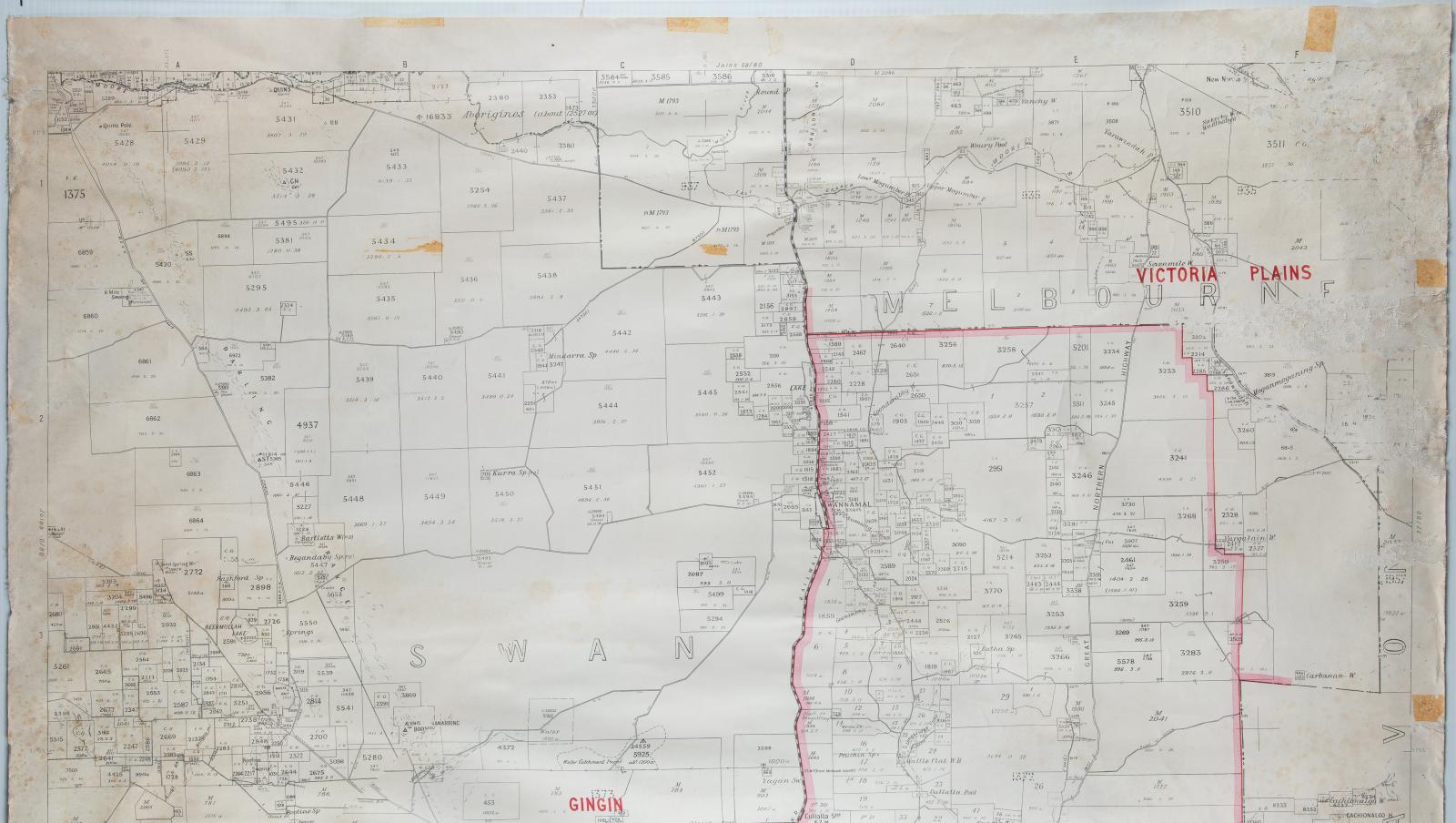
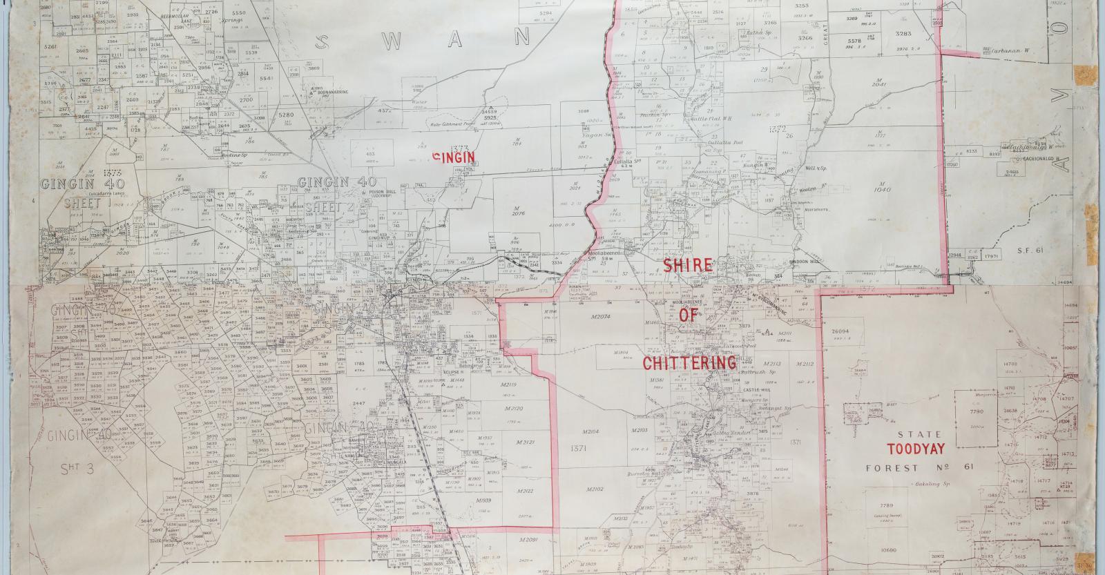
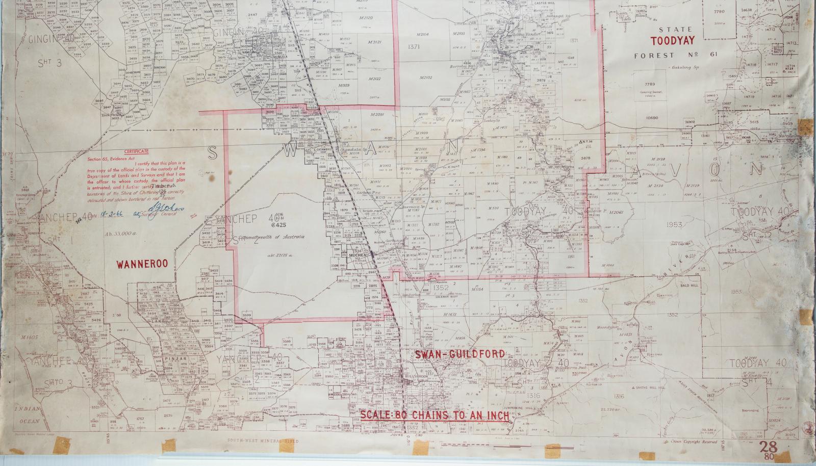
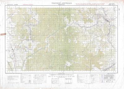
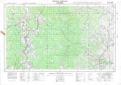
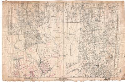
AVON VALLEY CADASTRAL MAP
1966Cadastral map of Avon Valley, including Gingin, Chittering, Toodyay, Swan/Guildford, Wanneroo, Victoria Plains.
Shire boundaries are overlaid in red ink.
Shows lot boundaries, water lines, simple geographic features, water lines and government reserves.
Machine printed onto cloth paper with handwritten additions.
The map itself is stained, particularly on the back, with one edge showing water damage and fraying. The ink is faded in some areas and the map itself is bent and curled from years stored in a rolled position. Despite this damage the map itself is still legible.
The provenance of this item is confirmed through the government seal in the right lower corner and the date signature. It is unknown how this item was relocated to the Museum Workshops however it is assumed it was once used by the Shire’s Planning Department.
Details
Details
The map is dated to 18/3/1966, and is signed by the then Surveyor General, S. Stokes.
The value of the item considered for accession lies in its research value as a dated map of land boundaries for a segment of the Avon region. This item is only of local significance, however could provide information for historical researchers in surrounding areas as well as Toodyay.
More items like this
Other items from Shire of Toodyay
-
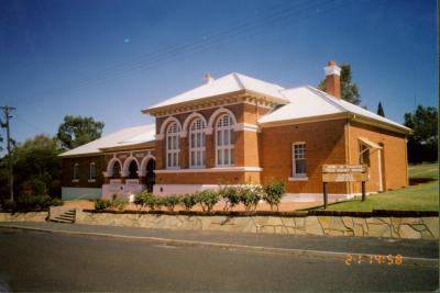
OLD COURTHOUSE, SHIRE ADMINISTRATION
-
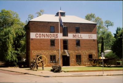
CONNORS MILL AS VISITORS CENTRE
-
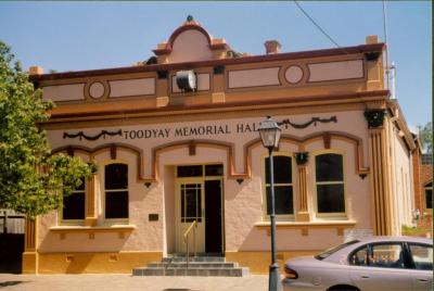
TOODYAY MEMORIAL HALL
-
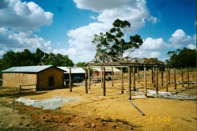
RE-BUILDING WICKLOW SHEARING SHED
-
CHIFFINGS, PETER JOHN

-
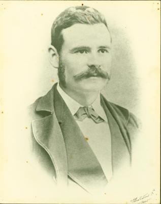
HASELL, HENRY
-
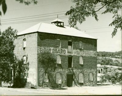
CONNOR'S MILL, DERELICT
-
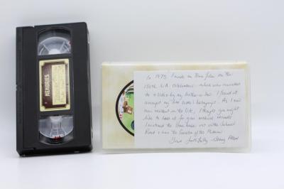
BACK TO TOODYAY VHS
-
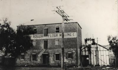
LUKIN'S TOODYAY ROLLER FLOUR MILL & POWER STATION, TOODYAY 1920
-
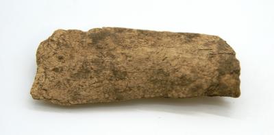
WEST TOODYAY ARCHAEOLOGICAL COLLECTION - BONE
-
WEST TOODYAY ARCHAEOLOGICAL COLLECTION - BUCKLE
-
WEST TOODYAY ARCHAEOLOGICAL COLLECTION - BOTTLE FRAGMENT