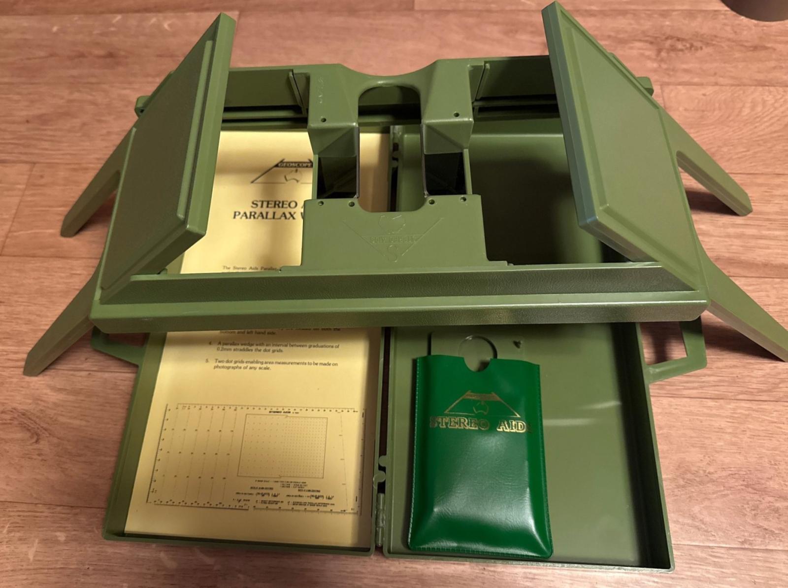
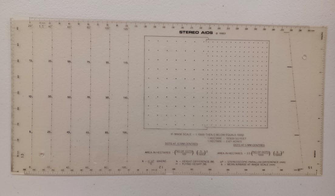
Parallax Wedge (Viewer) - Stereo Aids
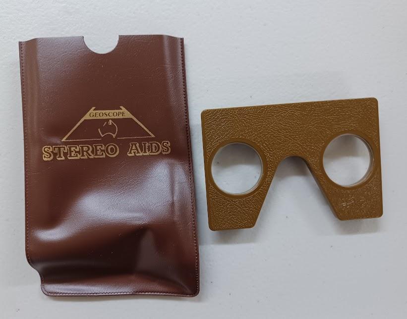
Components within the portable brown carry case includes the following:
Item 1: mirror stereoscope
Item 2: 3x or 4x binocular eyepiece
Item 3: 1.2x monocular magnifier
Item 4: a parallax wedge (or bar)
Item 5: a sample black and white aerial photograph
Item 6: 3 page instruction sheet
This device is made of ABS plastic with chrome-plated mirrors and glass lenses.
The Geoscope Pro mirror stereoscope by Stereo Aids is a durable ABS plastic, 3D aerial photography viewer used for photogrammetry, including a parallax wedge for measuring elevation differences. This portable, 4x binocular tool allows users to measure object heights and interpret terrain, with a design that covers the full 60% overlap of aerial photographs.
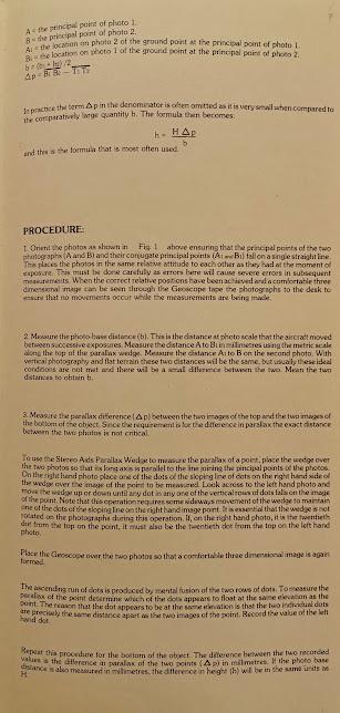
Functionality: The parallax wedge is used to determine the height of objects (trees, buildings) by measuring the difference in stereo-pair parallax () between the top and bottom of the feature.
Usage: It provides a 3D view of terrain, crucial for surveyors, geographers, and planners. The system features high-quality mirrors for clear, 3D image fusion.
Details
Details
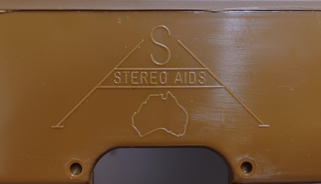
On brown pouch: "Geoscope Stereo Aids".
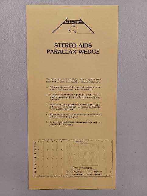
Front of instruction sheet: "Stereo Aids Parallax Wedge"
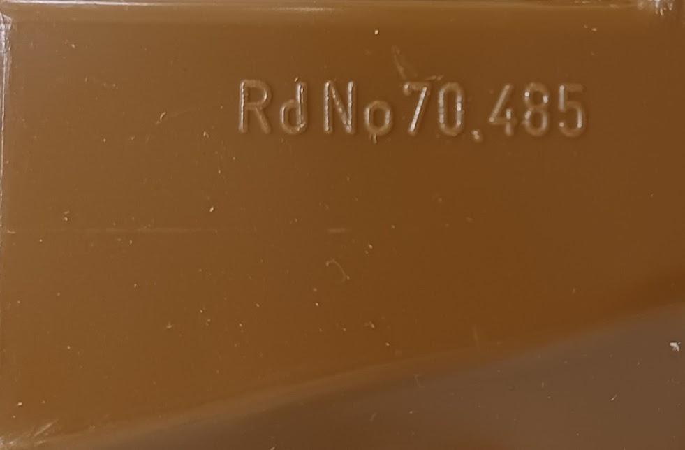
On device: RdNo 70.485
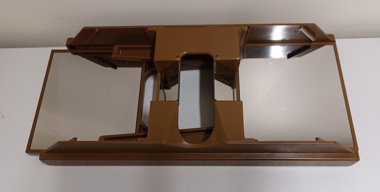
This 3 dimensional viewer was used by RAAF Darwin, to study aerial photographs.
The 3D viewer was used by the RAAF (Royal Australian Air Force) at locations like Darwin, for studying aerial photographs during and after World War II - it was also called a stereoscope. These devices were crucial for interpreting "stereo pairs"—two overlapping aerial photographs taken from slightly different perspectives, which the stereoscope merged to provide a three-dimensional view.
Mirror Stereoscope: A larger device, often used in reconnaissance offices, allowed for more detailed analysis of the aerial photos. These tools were essential for interpreting details such as topography, vegetation, and in wartime, detecting enemy fortifications and assessing bomb damage at locations like the RAAF Darwin aerodrome.
Other items from Busselton Historical Society
-
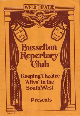
Busselton Repertory Club - ephemera
-
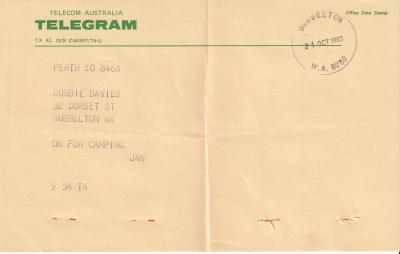
Telegram - to B Davies
-
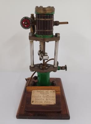
Model of "Weir" Steam Pump - made by Henry Bumstead
-
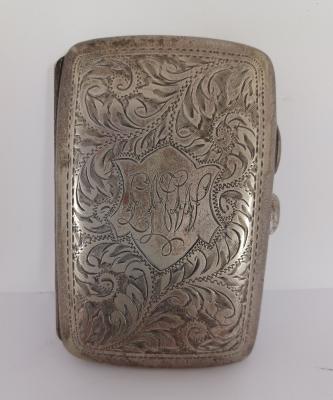
EPNS Cigarette Case - owned by Lou Weston
-
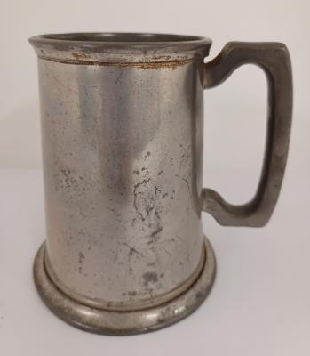
Pewter English Tankard
-
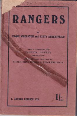
Book - "Rangers" by N Whelpton & K Streatfeild
-
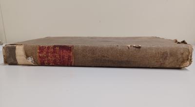
Book - "Practical Mechanic's Journal" - owned by John Herring
-
Boy Scouts - whistle & lanyard

-
Wooden Box (with compartments)

-
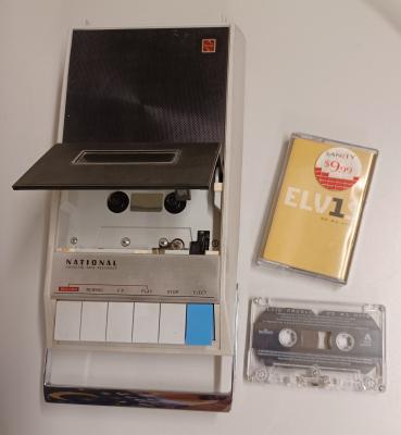
Cassette Tape Recorder - National
-
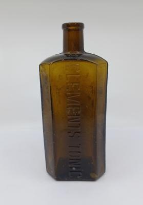
Amber Glass Bottle - Clements Tonic
-
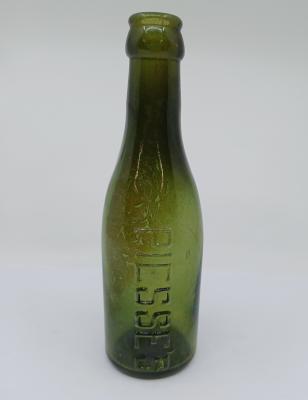
Green Glass Bottle - Piesse's
Scan this QR code to open this page on your phone ->
