Katanning Historical Society > Records
Katanning Flour Mill
c. 1984Subcollections
Overview
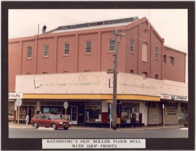
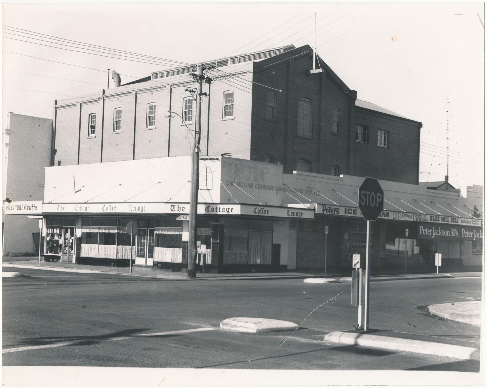
A black and white photograph taken from the corner of Austral Terrace and Clive street of a two storey building. There are traffic stop signs on each side of Austral Terrace.
Historical information
The photograph shows the shops that were at the front of the Mill. These shops were demolished in 1989 and the verandah replaced.
Details
Details
Registration number
cwa-org-202-HSP2003.40b
Item type
Photographs
Material
Photographic Paper
Width
25.2000 cm
Height or length
20.1000 cm
Inscriptions and markings
On the back of the photograph in blue ink is "With feature 2-3 1984".
Year
Geotag
-33.691105730675, 117.55510227558
Open in Google Maps
Nearest geotagged records:
Nearby places: View all geotagged records »
Open in Google Maps
Nearest geotagged records:
- Katanning Flour Mill (0km away)
- Katanning Flour Mill (0km away)
- Opening of the Katanning Flour Mill (0km away)
- Katanning Flour Mill (0km away)
- Katanning Flour Mill (0km away)
- Katanning Flour Mill (0km away)
- Katanning Flour Mill (0km away)
- Katanning Flour Mill (0km away)
- Katanning Flour Mill (0km away)
- World War 2, Western Australia, Rottnest Island AIF Enlistment, W39967 to WX31192 BROWN, 1942 (0.06km away)
Nearby places: View all geotagged records »
Last modified
Saturday, 21 December, 2024
Copyright and Reference
Copyright and Reference
Rights category
Other
Attribution requirements
Courtesy of Katanning Historical Society.
More items like this
Other items from Katanning Historical Society
-
Winery Tower
-
William Grover and his mother Bridget Grover nee Noonan
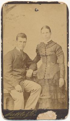
-
Katanning Sale Yards
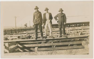
-
Katanning Sale Yards
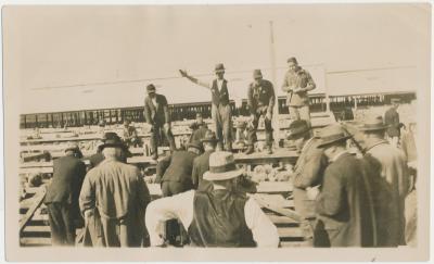
-
Katanning Sale Yards
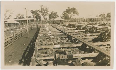
-
Katanning Sale Yards
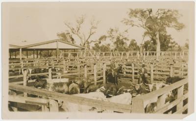
-
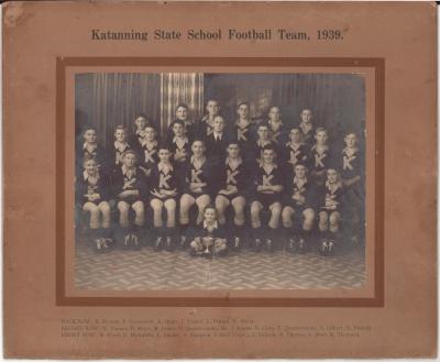
Katanning State School Football Team
-
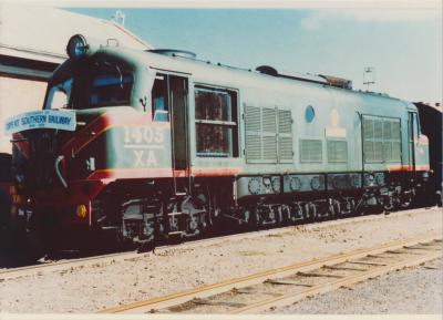
Great Southern Railway
-
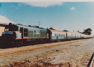
Great Southern Railway Centenary
-
Wanderers Cricket Club
-
Katanning Volunteer Fire Brigade Ball
-
Kobeelya
Katanning Flour Mill
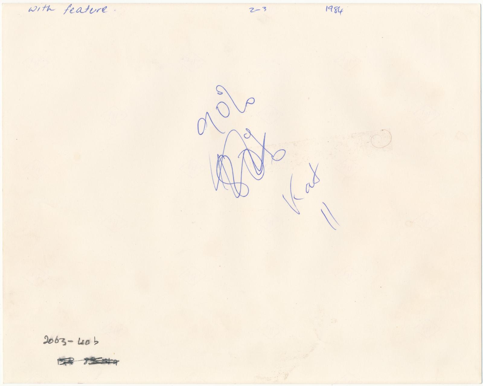
Back of photograph of Katanning Flour Mill
Scan this QR code to open this page on your phone ->