Subiaco Museum > Records
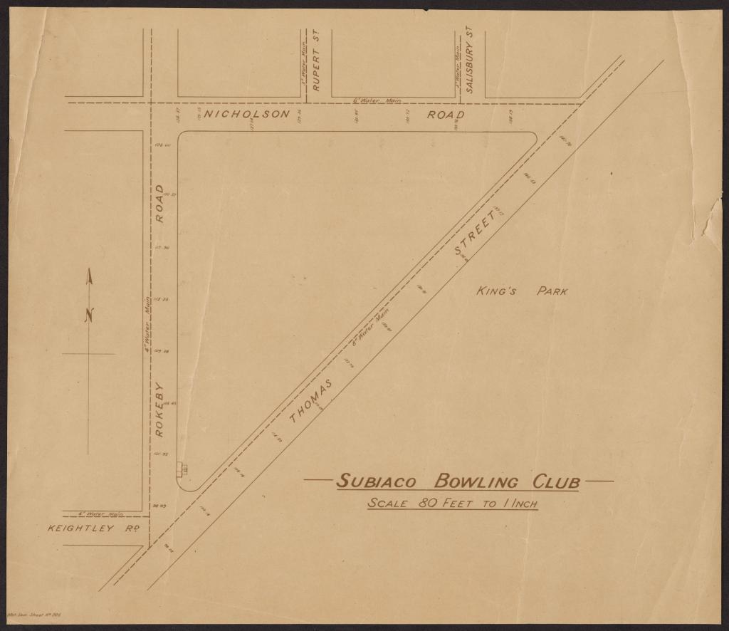
MAP: SUBIACO BOWLING CLUB
Overview
Beige paper with black ink map of Subiaco Bowling Club
Heavily faded.
Map shows Thomas Street, Keightley Road, Rokeby Road, Nicholson Road, Rupert Street, Salisbury Street, and King's Park. Map is titled ' SUBIACO BOWLING CLUB / SCALE 80 FEET TO 1 INCH'.
Details
Details
Registration number
cwa-org-43-2023.310
Item type
Documents
Material
Paper
Ink
Width
430 mm
Height or length
400 mm
Last modified
Thursday, 17 July, 2025
Completeness
Other items from Subiaco Museum
-
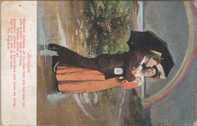
POSTCARD: 'RAINBOW', JIM AND LILLIAN DENNIS COLLECTION
-
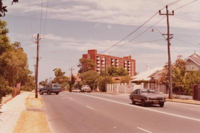
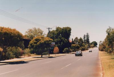
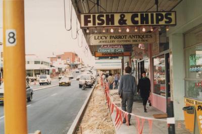
PHOTOGRAPH: 'THOMAS STREET OVERHEAD POWER LINES' 1985
-
PHOTOGRAPH: 'THOMAS STREET OVERHEAD POWER LINES' 1985

-
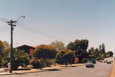
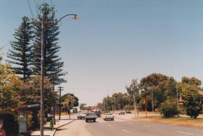
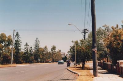
PHOTOGRAPH: 'THOMAS STREET OVERHEAD POWER LINES' 1986
-
PHOTOGRAPH: 'THOMAS STREET OVERHEAD POWER LINES' 1986
-
PHOTOGRAPH: 'THOMAS STREET OVERHEAD POWER LINES' 1986
-
PHOTOGRAPH: 'THOMAS STREET OVERHEAD POWER LINES' 1986
-
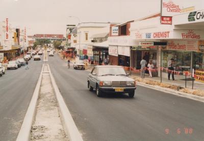
PHOTOGRAPH: 'ROKEBY ROAD UPGRADING, HAY STREET TO BARKER ROAD' 1988
-
PHOTOGRAPH: 'ROKEBY ROAD UPGRADING, HAY STREET TO BARKER ROAD' 1988

-
PHOTOGRAPH: 'ROKEBY ROAD UPGRADING, HAY STREET TO BARKER ROAD' 1988
-
PHOTOGRAPH: 'ROKEBY ROAD UPGRADING, NICHOLSON ROAD TO HEYTESBURY ROAD' 1989