

Subiaco Museum > Records
PHOTOGRAPH: 'THOMAS STREET OVERHEAD POWER LINES' 1986
1986Subcollections
Overview
A coloured photograph of Thomas Street facing North, taken from near Onslow Road. There is a utility pole on the left side of the road with a sign attached to it. Visible blue lettering on the sign reads '??S PARK, ??ODGE'. It is likely that the full sign reads 'KINGS PARK LODGE'. The left carriageway and the median strip of Thomas Street are visible. There are two prominent cars driving North in the middle lane of this carriageway.
Reverse: A typed label reads 'OVERHEAD POWER LINES, THOMAS ST, JANUARY 1986'.
Historical information
A photograph of the Thomas Street overhead power lines.
Details
Details
Registration number
cwa-org-43-2023.326.2
Item type
Photographs
Material
Paper
Ink
Chemicals
Width
152 mm
Height or length
102 mm
Year
Geotag
-31.960872, 115.821386
Open in Google Maps
Nearest geotagged records:
Nearby places: View all geotagged records »
Open in Google Maps
Nearest geotagged records:
- PHOTOGRAPH: 'THOMAS STREET OVERHEAD POWER LINES' 1986 (0km away)
- PHOTOGRAPH: 'THOMAS STREET OVERHEAD POWER LINES' 1986 (0.03km away)
- World War 1, Australia, Western Australia, 1936 WOODS, 10 Light Horse (0.21km away)
- PHOTOGRAPH: HOUSE AT 43 KEIGHTLEY ROAD, SHENTON PARK (0.25km away)
- World War 1, Australia, Western Australia, 2465 EATON, 10 Light Horse (0.31km away)
- PHOTOGRAPH: 'THOMAS STREET OVERHEAD POWER LINES' 1986 (0.31km away)
- PHOTOGRAPH: 'ROSALIE PARK CONSTRUCTION' 1982 (0.34km away)
- PHOTOGRAPH: 'ROSALIE PARK CONSTRUCTION' 1982 (0.34km away)
- PHOTOGRAPH: 'ROSALIE PARK CONSTRUCTION' 1982 (0.34km away)
- PHOTOGRAPH: 'ROSALIE PARK CONSTRUCTION' 1982 (0.34km away)
Nearby places: View all geotagged records »
Last modified
Monday, 19 October, 2026
Completeness
More items like this
Other items from Subiaco Museum
-
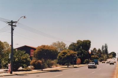
PHOTOGRAPH: 'THOMAS STREET OVERHEAD POWER LINES' 1986
-
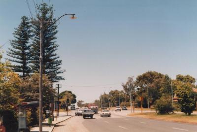
PHOTOGRAPH: 'THOMAS STREET OVERHEAD POWER LINES' 1986
-
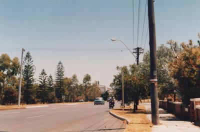
PHOTOGRAPH: 'ROKEBY ROAD UPGRADING, HAY STREET TO BARKER ROAD' 1988
-
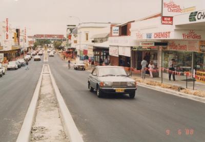
PHOTOGRAPH: 'ROKEBY ROAD UPGRADING, HAY STREET TO BARKER ROAD' 1988

-
PHOTOGRAPH: 'ROKEBY ROAD UPGRADING, HAY STREET TO BARKER ROAD' 1988
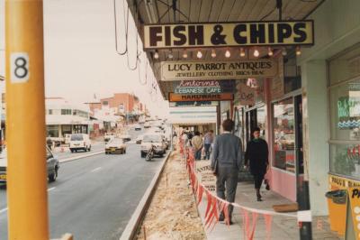
-
PHOTOGRAPH: 'ROKEBY ROAD UPGRADING, NICHOLSON ROAD TO HEYTESBURY ROAD' 1989

-
PHOTOGRAPH: 'ROKEBY ROAD UPGRADING, NICHOLSON ROAD TO HEYTESBURY ROAD' 1989

-
PHOTOGRAPH: 'ROKEBY ROAD, HEYTESBURY ROAD TO HAMERSLEY ROAD' 1989

-
PHOTOGRAPH: 'ROKEBY ROAD, HEYTESBURY ROAD TO HAMERSLEY ROAD' 1989

-
PHOTOGRAPH: 'ROKEBY ROAD, HEYTESBURY ROAD TO HAMERSLEY ROAD' 1989

-
PHOTOGRAPH: 'ROKEBY ROAD, HEYTESBURY ROAD TO HAMERSLEY ROAD' 1989

-
PHOTOGRAPH: 'ROKEBY ROAD, HEYTESBURY ROAD TO HAMERSLEY ROAD' 1989


