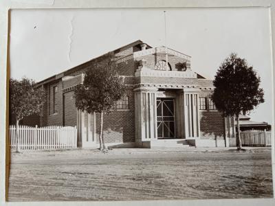
Dowerin District Museum > Records
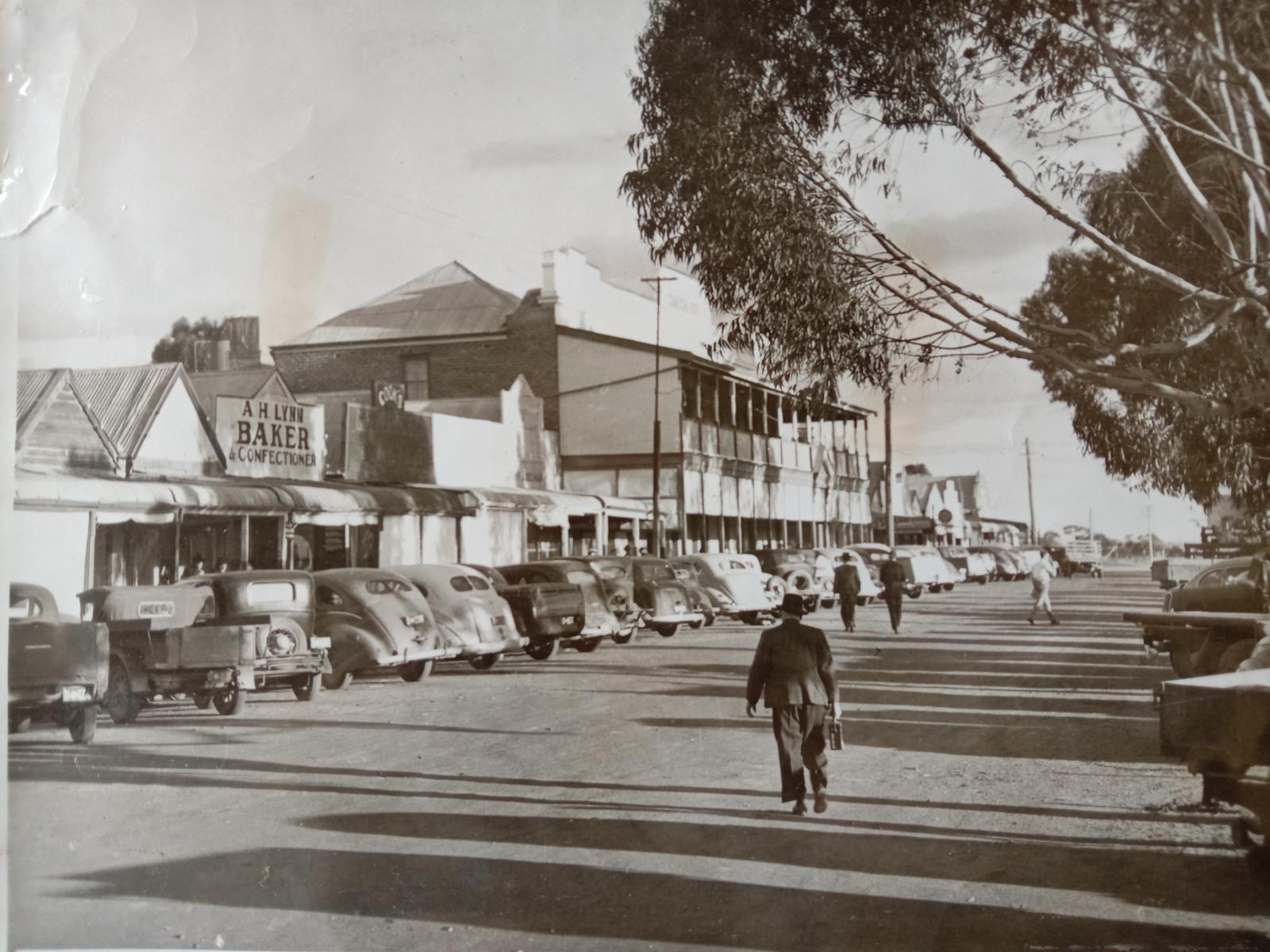
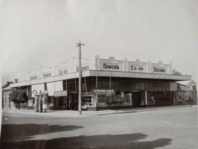
Photo of Stewart Street Dowerin in the 1930s.
Details
Details
Registration number
cwa-org-65-01
Geotag
-31.194814483637, 117.03090214225
Open in Google Maps
Nearest geotagged records:
Nearby places: View all geotagged records »
Open in Google Maps
Nearest geotagged records:
- World War 2, Western Australia, Rottnest Island AIF Enlistment, W51769 to WX30693 SHARMAN, 1942 (0.05km away)
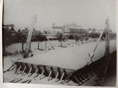
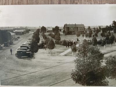
- Photo of the inauguration of the War Memorial Dowerin. (0.15km away)
- AWAS on Rottnest - WF94866 JONES (Olive Mary) (0.17km away)
- World War 1, Australia, Western Australia, Dowerin, 2808 LAWRANCE, 10 Light Horse (0.18km away)
- World War 1, Australia Western Australia, 865 FREARSON, 44 Battalion, 1916 (0.41km away)
Nearby places: View all geotagged records »
Last modified
Thursday, 5 May, 2022
Completeness
More items like this
Other items from Dowerin District Museum
-
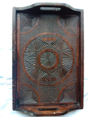
Chip carved tray.
-
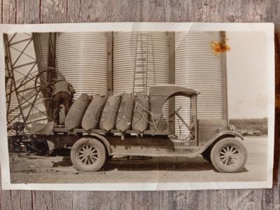
Photo of a truck at the Manmanning wheat bin, 1930s.
-
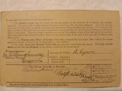
World War II identity card
-
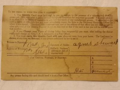
World War II identity card
-
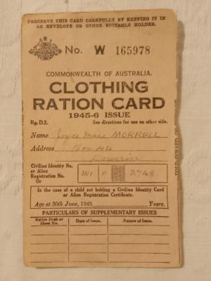
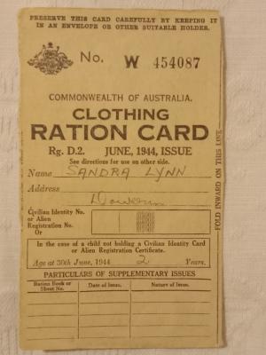
World War II clothing ration card.
-
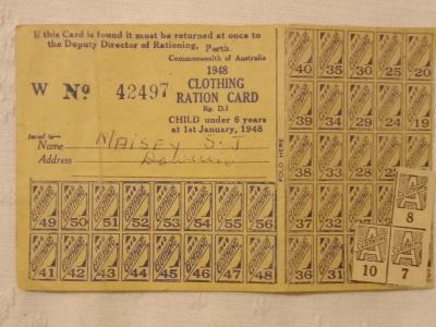
Clothing ration card for a child.
-
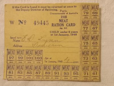
Meat ration card 1948
-
Clothing ration card for a child.
-
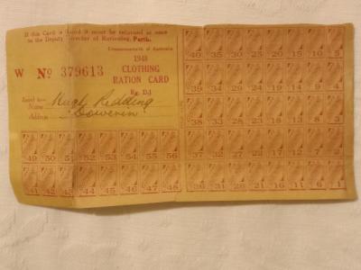
Clothing ration card for 1948.
-
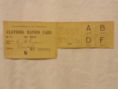
Clothing ration card for 1947.
-
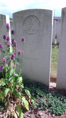
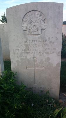
Not Forgotten. 3705 Private Joseph Herbert Anderson, 11 Battalion AIF, World War 1
-
Not Forgotten. 4008 Private Leslie Anderson, 32 Battalion AIF, World War 1