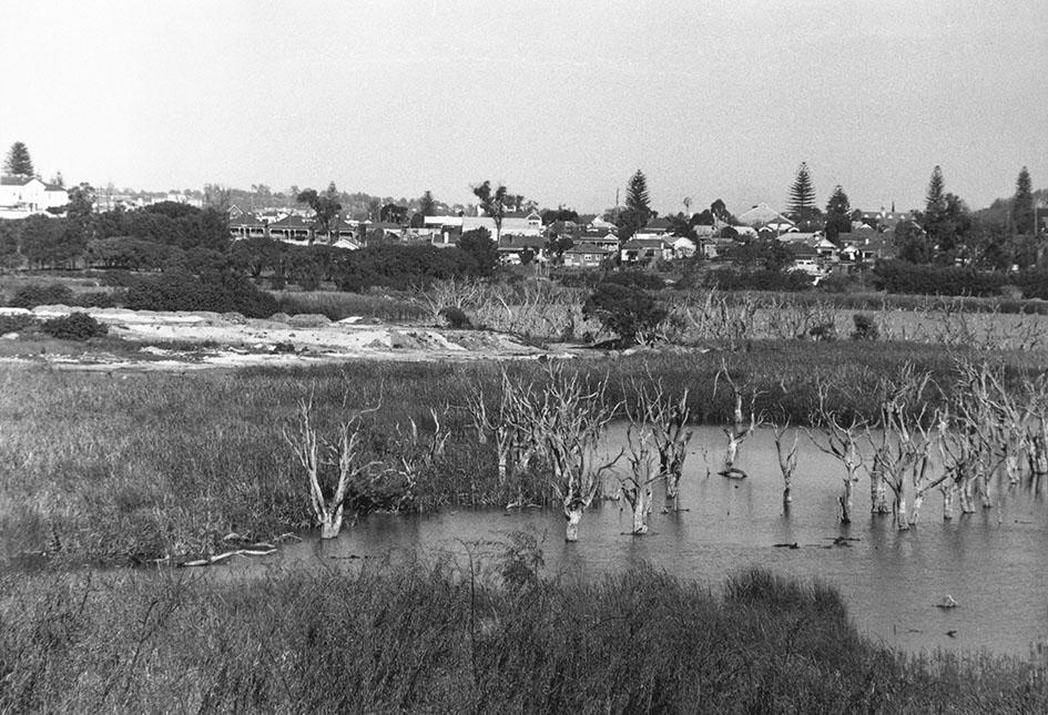
Butler's Swamp From Claremont Hotel To Christ Church
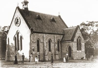
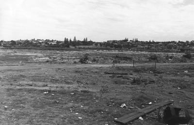
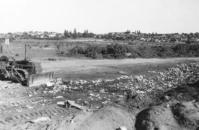
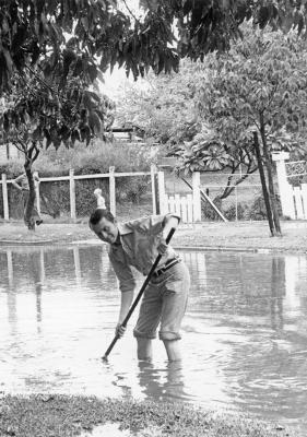
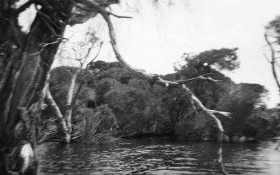
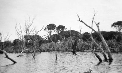
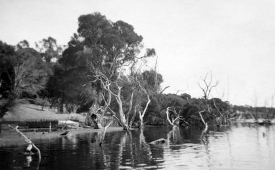
Looking across Butler's Swamp , Claremont to the south east showing swamp, reeds and part of the infill. At the far left is the side and back of the Claremont Hotel, the pediment of the United Bus garage and the three semi-detached houses in Shenton Road, Claremont. Further to the right are the Drill Hall on Stirling Highway and Christ Church.
Details
Details
Open in Google Maps
Nearest geotagged records:
- Butler's Swamp Claremont (0km away)
- Canoes On Butler's Swamp (0km away)
- Gugeri Family, Butler's Swamp (0km away)
- Butler's Swamp (0km away)
- Butler's Swamp (0km away)
- Smith Brothers' Property Butler's Swamp (0km away)
- House Ruin At Butler's Swamp (0km away)
- Butler's Swamp From Alfred Road (0km away)
- Butler's Swamp During Conversion To Lake Claremont (0km away)
- Looking South Across Butler's Swamp (0km away)
Nearby places: View all geotagged records »
Copyright and Reference
Copyright and Reference
Acknowledgements to be made to 'Claremont Museum 98.153'.
Other items from Town of Claremont Museum
- Lake Claremont Infill Looking Back To Scotch College
- Lake Claremont Infill Looking Back To Scotch College
- Flooding In Walter Street, Claremont
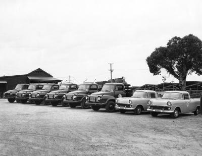
- Vehicles In The Town Of Claremont Depot
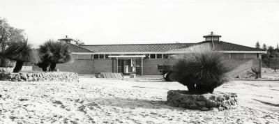
- Claremont Aquatic Centre On Completion
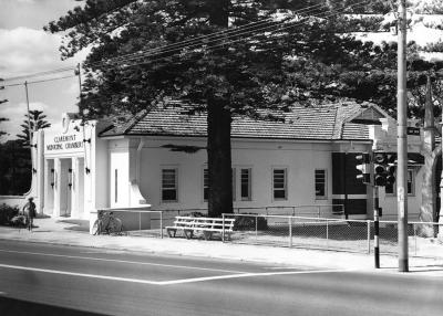
- Claremont Municipal Chambers
- Butler's Swamp Western Shore
- Butler's Swamp
- Butler's Swamp Western Shore
- Butler's Swamp To Gloucester Road
- National Bank Of Australasia And Waldby Chemist
- National Bank And Motor Lorry
Source: Claremont Museum 98.153
Scan this QR code to open this page on your phone ->

