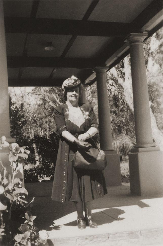
Dorothy Tangney
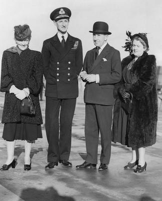
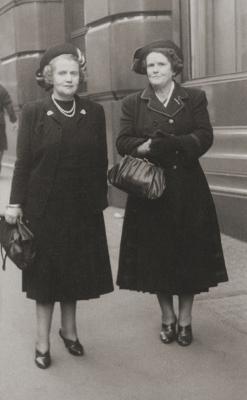
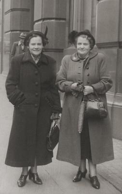
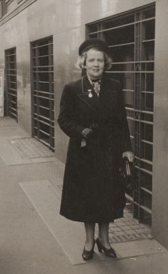
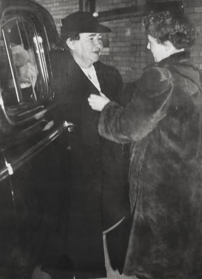
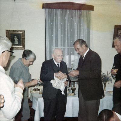
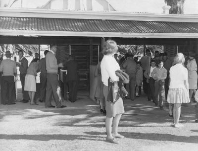
1946Senator Dorothy Tangney beside two pillars outside a Yanchep building.
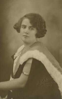
(Dame) Dorothy Margaret Tangney (1907-1985), daughter of Eugene Tangney and Ellen Tangney nee Shanahan, was born in North Perth.
Became a passionate social justice advocate and was an active member of the Australian Labour Party.
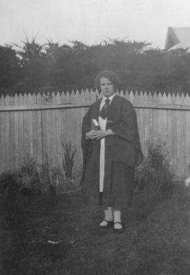
Passed her leaving certificate at the age of 15 and began training as a schoolteacher, combining her teaching work with part-time study at the University of Western Australia. She graduated with a Bachelor of Arts degree in 1927 and later completed a postgraduate diploma in education in 1932. Taught at Claremont Central School.
In 1936 and 1939, Tangney was endorsed as the Labour candidate for Nedlands in the State Elections and she was unsuccessful on both occasions.
In 1943, Tangney became Australia's first female Senator and represented WA in Canberra. Senator Tangney made history by being the first woman to join a Federal Parliamentary Committee on being elected a member of the Joint Committee on Social Security, where she was able to implement her passion for social justice (health reform, unemployment benefits, working conditions) where she played a part in the establishment of the Australian National University, in the Peace Treaty with Japan, in overseas conferences representing Australia, in the United Nations General Assembly as an observer.
Headed the Western Australian Senate ticket in 1946, 1951, 1955 and 1961, but was defeated in 1967
Made a Dame Commander of the Order of the British Empire in 1968.
Details
Details
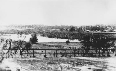
On the rear [Snaped (sic) @ Yanchep. Victory outing./ 1946]
Copyright and Reference
Copyright and Reference
Acknowledgements to be made to 'Claremont Museum 03.198b'.
Other items by Tangney Collection
-
Dorothy Tangney In London
-
Federal Parliamentary Labor Party
-
Dorothy Tangney Working At Home
-
Dorothy Tangney In England
-
Dorothy and Nell Tangney
-
Dorothy Tangney With A Group Of Women
-
Dorothy Tangney
-
Dorothy Tangney In England
-
Dorothy And Phyllis Tangney
-
Dorothy Tangney On Graduation
-
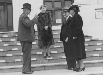
Prime Minister John Curtin With Dorothy, Eugene and Ellen Tangney
-
Dorothy Tangney On Graduation
More items like this

Other items from Town of Claremont Museum
-
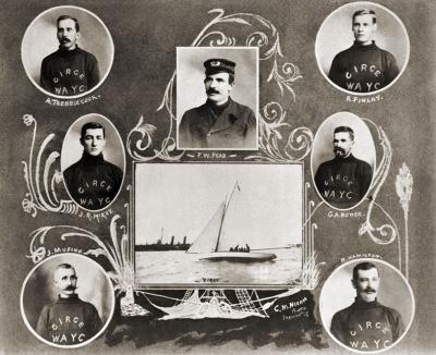
Yacht 'Circe' And Its Owners
-
Samuel Rowe's 100th Birthday Celebration
-
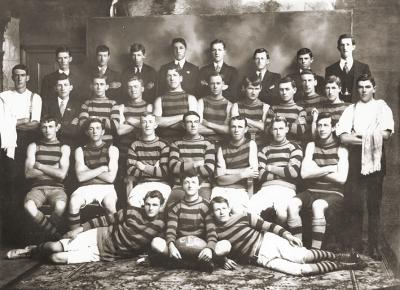
Claremont Football Club 1914
-
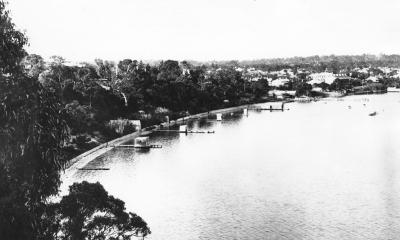
Freshwater Bay Claremont
-
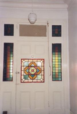
Bethesda Hospital Front Entrance
-
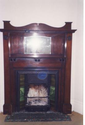
Bethesda Hospital Fireplace
-
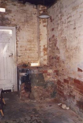
Bethesda Hospital Wash House
-
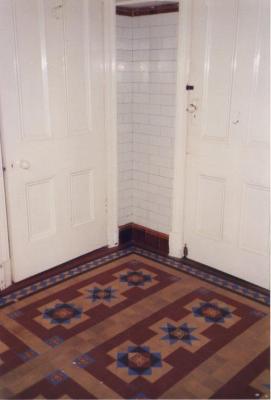
Bethesda Hospital Bathroom
-
Claremont Oval Turnstiles
-
Butler's Swamp Claremont
-
Osborne Steps And Jetty, Claremont
-
Claremont Methodist Church
Victory Outing Yanchep
Source: Claremont Museum 03.198b
Scan this QR code to open this page on your phone ->