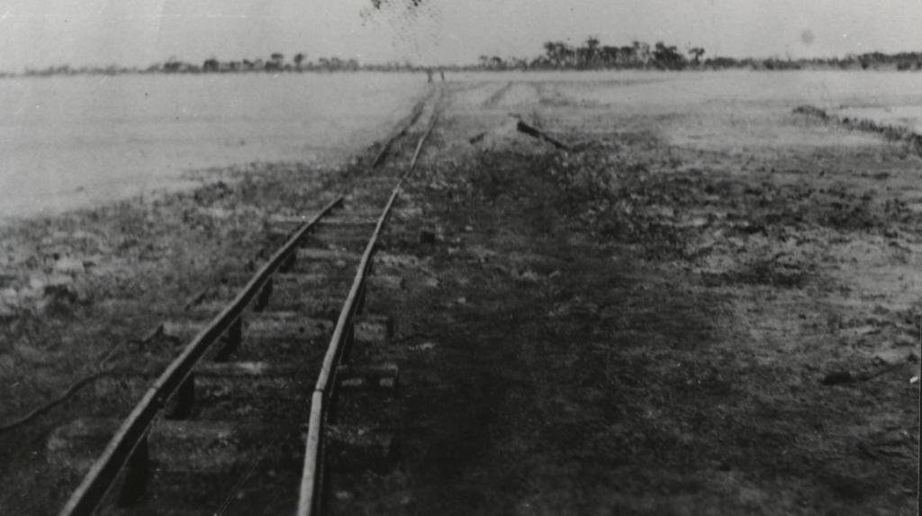
MILING RAILWAY LINE NEAR GABALONG SIDING
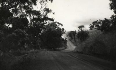
1927Black and white print copy of the Miling railway line near Gabalong.
Track starts at left front and proceeds into distance. Trees on the horizon.
Approx. six sleepers on the tracks in foreground.
This photograph has been reproduced in 'Toodyay - The Good Old Days' by Wally Chitty on p.31 where the date is attributed as 1924
Details
Details
Written on the back, in blue ink: "1927. Building the miling line near Gabalong. Dirt was thrown up by shovel, line laid, then train carted red gravel ballast to complete the job".
Printed on back: Dawn Ray Prints, Toodyay". [Dawn Atwell and Ray Paynrer, Woodendale]
Dawn Ray Prints, Toodyay was named after Dawn Atwell and Ray Paynter of Woodendale.
This photograph has been reproduced in 'Toodyay - The Good Old Days' by Wally Chitty on p.31 where the date is attributed as 1924.
Open in Google Maps
Nearest geotagged records:
Nearby places: View all geotagged records »
Other items from Shire of Toodyay
- ROBERT AND EWEN MACKINTOSH
- OLD HOSPITAL, CORNER HENRY AND DUKE STREETS, TOODYAY
- FRANK KELLY AND JAMES SUTHERLAND
- TOODYAY COUNTRYSIDE
- SYRED'S COTTAGE BEJOORDING
- COUNTRY ROAD, TOODYAY
- BLACK VEST
- NEWCASTLE (TOODYAY) FROM MT ANDERSON
- HOUSE - 8 FIENNES STREET TOODYAY
- RUINED BUILDING ON BANKS OF RIVER [AVON?]
- VIEW OF NORTH NEWCASTLE (TOODYAY)
- COUNTRY ROAD TOODYAY
![RUINED BUILDING ON BANKS OF RIVER [AVON?]](https://collectionswa.net.au/sites/default/files/styles/thumbnail/public/records/2023-01/37-2001.1542-2001-1542.jpg?itok=R2-cOObU)
