
Town of Claremont Museum > Records
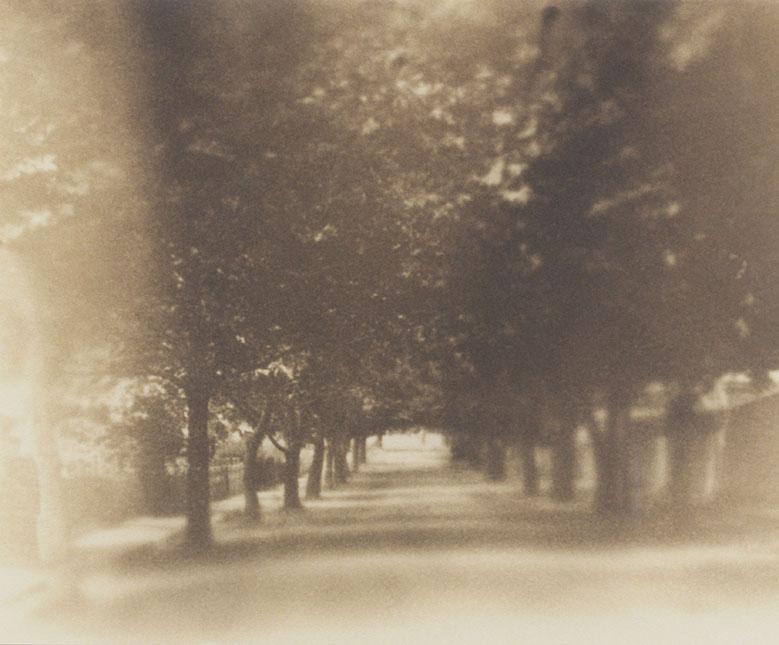
Queen Street
Overview
Photograph of Queen Street, possibly looking from Princess Road. View shows an avenue of trees.
Details
Details
Registration number
cwa-org-28--3-184
Item type
Photographs
Geotag
-31.986507847043, 115.78556647504
Open in Google Maps
Nearest geotagged records:
Nearby places: View all geotagged records »
Open in Google Maps
Nearest geotagged records:
- 8 Caxton Road, Claremont (0.1km away)
- Rear Garden, 2 Chester Road, Claremont (0.13km away)
- World War 1, Western Australia, JACKMAN, 16 Battalion, 1915 (0.13km away)
- 6 Chester Road, Claremont (0.18km away)
- Ebsary's Corner Store (0.18km away)
- Ebsary's Corner Store (0.18km away)
- Ebsary's Corner Store (0.18km away)
- 13 Chester Road, Claremont (0.21km away)
- Ford Tourer, 7 Thomson Road, Claremont (0.22km away)
- World War 1, Australia, Western Australia, 863 DAVIES, 10 Light Horse (0.23km away)
Nearby places: View all geotagged records »
Links to additional resources
Claremont Museum. [www.claremont.wa.gov.au]
Last modified
Tuesday, 22 July, 2025
Completeness
Copyright and Reference
Copyright and Reference
Rights category
Life of creator +70 years
Attribution requirements
Acknowledgements to be made to 'Claremont Museum 03.184'.
Rights holder
Claremont Museum, Town of Claremont, Western Australia, 6010
Other items from Town of Claremont Museum
-
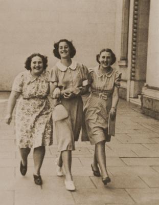
Elvie Buckland and Friends
-
Williams' Cab

-
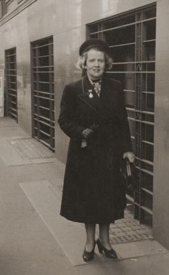
Dorothy Tangney
-
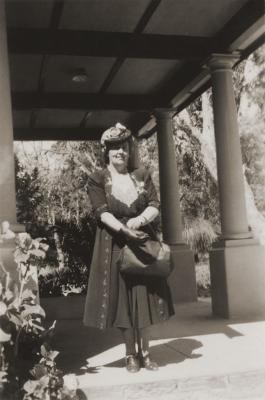
Dorothy Tangney
-
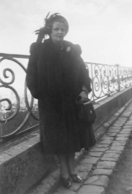
Dorothy Tangney
-
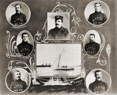
Yacht 'Circe' And Its Owners
-
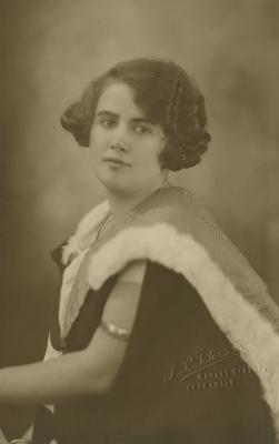
Dorothy Tangney On Graduation
-
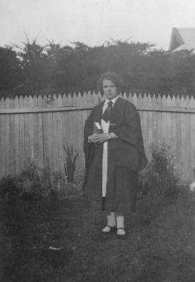
Dorothy Tangney On Graduation
-
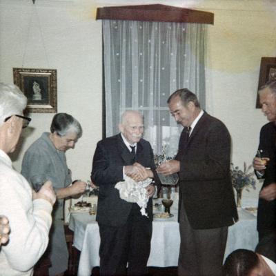
Samuel Rowe's 100th Birthday Celebration
-
Claremont Football Club 1914
-
Freshwater Bay Claremont
-
Bethesda Hospital Front Entrance
Queen Street
Source: Claremont Museum 03.184
Source: Claremont Museum 03.184
Scan this QR code to open this page on your phone ->