PHOTOGRAPHIC COLLAGE (FRAMED): 'ROKEBY ROAD', JASON GILLESPIE
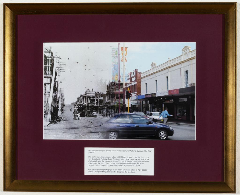
2003Image: Photographic montage of Rokeby Road junction with Hay Street. On the left is a black and white archival photograph of Rokeby Road junction taken in 1913 looking South from Hay Street and on the right is a colour photo of the same scene taken by Jason Gillespie in 2003.
Frame: Gold frame with maroon mount.
Mount includes a white inlaid panel which reads: 'This photomontage is on the cover of the brochure "Walking Subiaco: The City Centre". The archival photograph was taken c1913 looking south from the junction of Hay Street with Rokeby Road. Subiaco Hotel (1898) is on the left side of the photograph, and the corner façade of Tighe's Buildings (1905) in the middle distance on the right. The building on the right in the foreground is not named. Perth to Subiaco trams used this route from 1900-1958. The contemporary photograph of the same view was taken in April 2003 by Jason Gillespie of key2design who designed the brochure'.
Reverse: Stamped 'Captured Ideas Picture Framing and Gallery'
Photographic collage was created by Jason Gillespie of Key2Design as material for the "Walking Subiaco: The City Centre" brochure. The archival photograph was taken c1913 while the contemporary photo of the same view was taken in April 2003.
Details
Details
Jason Gillespie
Photographic collage was created by Jason Gillespie of Key2Design for the "Walking Subiaco: The City Centre" brochure. The archival photograph was taken c1913 while the contemporary photo of the same view was taken in April 2003.
Aesthetic: Historic: Social: Interpretive: Representativeness:
Open in Google Maps
Nearest geotagged records:
- PHOTOGRAPH: 'ROKEBY ROAD UPGRADING, HAY STREET TO BARKER ROAD' 1988 (0km away)
- Rokeby Road, Subiaco, [1930?] (0km away)
- PHOTOGRAPH (DIGITAL): HAY STREET AT THE CORNER OF ROKEBY ROAD, SUBIACO, CIRCA 1950 (0.01km away)
- PHOTOGRAPH: 'ROKEBY ROAD BEFORE POWER UNDERGROUNDING' 1984 (0.01km away)
- PHOTOGRAPH: AERIAL VIEW OF SUBIACO, CIRCA 1930 (0.01km away)
- AWAS on Rottnest - WF96892 LLORENS (married BROWNE) (0.01km away)
- PHOTOGRAPH: 'ROKEBY ROAD/ HAY STREET', 1984 (0.01km away)
- PHOTOGRAPH: 'ROKEBY ROAD/ HAY STREET', 1982 (0.01km away)
- PHOTOGRAPH: 'ROKEBY ROAD/ HAY STREET', 1984 (0.01km away)
- Hotel Subiaco. (0.03km away)
Nearby places: View all geotagged records »
Other items from Subiaco Museum
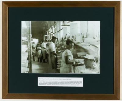
- PHOTOGRAPH (FRAMED): 'CALYX POTTERY, SUBI CENTRO'
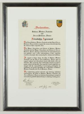
- CERTIFICATE (FRAMED): DECLARATION OF SISTER CITY AGREEMENT, SUBIACO AND AIX-EN-PROVENCE
- DRAWING: 'SUBIACO FOOTBALLER', UNKNOWN
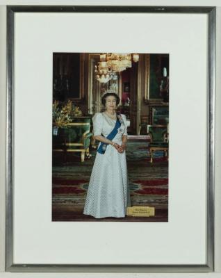
- PHOTOGRAPHIC PORTRAIT (FRAMED): 'QUEEN ELIZABETH II'
- COLLAGE: 'SHADES OF SUBIACO', TRICIA STEDMAN
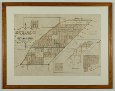
- MAP (FRAMED): SUBIACO AND ITS ENVIRONS
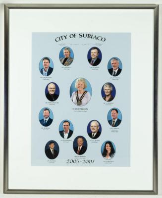
- PHOTOGRAPH (FRAMED): CITY OF SUBIACO COUNCIL 2005 - 2007
- PAINTING: 'STUDY OF W.A WILDFLOWERS', A. WALSH
- COIN: CHALLENGE COIN VETERANS OF FOREIGN WARS 12163
- PIN: 'VETERANS OF FOREIGN WARS' POST 12163
- PLATE: BRISTILE CHINA DINNER PLATE, C.R.R.I.A.
- LAPEL BADGE: WA DAY FOR WOUNDED SUBIACO 1915
