Merredin Railway Museum > Records
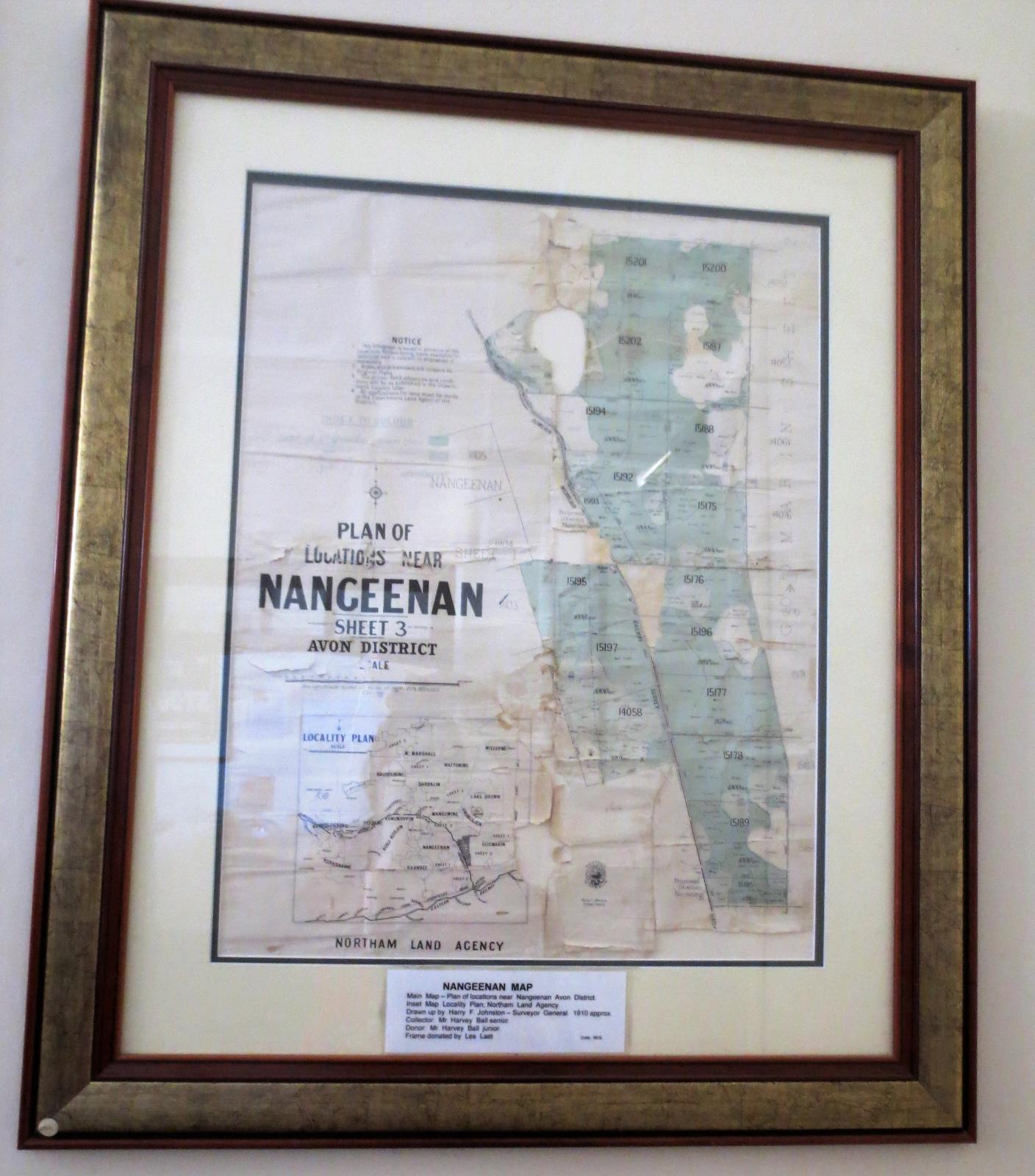
MAP --PLAN OF LOCATIONS NEAR NANGEENAN---1910
Overview
Map fragile & worn but legible Frame --new Main map is Plan of locations near Nangeenan--sheet 3 Avon District Inset map --Locality Plan Notham Land Agency
Historical information
Map owned by Mr Harvey Ball ( snr) who farmed 10 miles north of Merredin in 1910 . Donated by his son Harvey Ball when farm sold in 1919 . Ball senior was an electrician with WAGR --Installed first electric light on station platform Map drawn up by Dept.Lands Surveys W.A Surveyor General at the time was Harry F Johnston
Details
Details
Registration number
cwa-org-156-1999.916
Item type
Maps
Public location
Room 16 Bar room east wall
Last modified
Wednesday, 2 June, 2021
Completeness
More items like this
Other items from Merredin Railway Museum
-
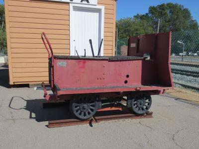
RAIL TROLLEY
-
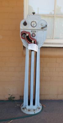
STAFF MACHINES WITH STAFFS
-
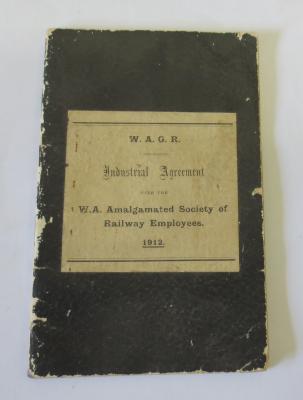
WAGR 'INDUSTRIAL AGREEMENT WITH THE WA AMALGAMATED SOCIETY OF RAILWAY EMPLOYEES 1912
-
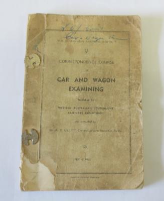
' CORRESPONDANCE COURSE IN CAR & WAGON EXAMINING '
-
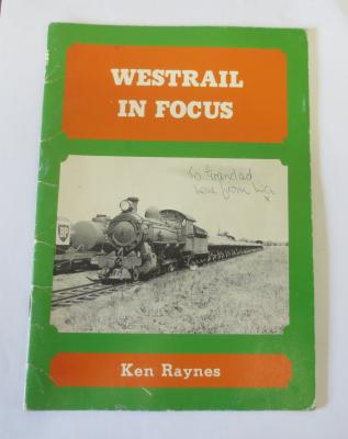
'WESTRAIL IN FOCUS
-
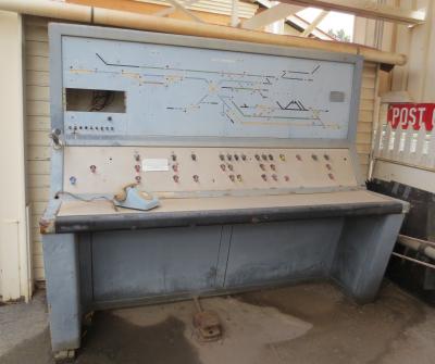
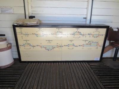
A)CONTROL PANEL B) MDF & DISTRIBUTING BOX RECORD
-
CONTROL PANEL
-
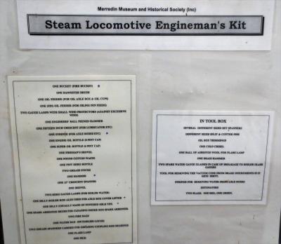
STEAM LOCOMOTIVE ENGINEMANS KIT
-
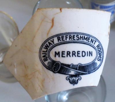
CUP FRAGMENT
-
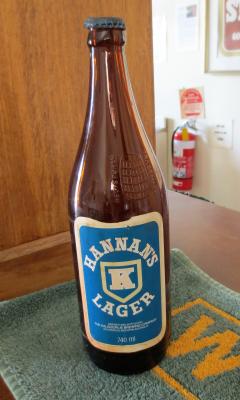
LAGER BOTTLE ' HANNANS LAGER
-
STOUT BOTTLE

-
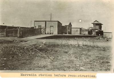
MERREDIN RAILWAY STATION BEFORE & AFTER RECONSTRUCTION