FREIGHT CARD WA GOVT RAILWAYS
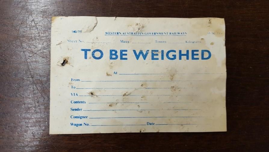
1973Freight Card for Western Australian Government Railways (WAGR) to be attached to goods prior to weighing and despatch. These were used extensively on the WAGR system.
Railway staff attached these paper cards to goods wagons to show that a car needed a weighbridge measurement. The printed form tracks important shipping details like the wagon number, cargo contents, and route information.
Found in November 2016 in the old railway building at the former freight yard in West Toodyay, now the Toodyay community depot area.
After 1966, the West Toodyay station was located at the junction of the narrow gauge Miling railway line (which originally directed trains from Miling through Toodyay to Clackline) and the new standard gauge line which brought trains directly to Toodyay from Perth.
Details
Details
Key indicators for the date of the card:
The Print Code: In the top left corner, the code 140/73 is visible. On government and railway stationery of this era, the trailing two digits typically signify the year the form design was printed or authorized—in this case, 1973.
Metric Weight Units: The top section lists the mass fields in Tonnes and Kilograms rather than imperial measurements (Tons, Hundredweights, Quarters). Australia officially converted its rail freight system to the metric system in 1973, matching the print code perfectly.
Agency Name: The card features the name Western Australian Government Railways. WAGR transitioned its trading name to Westrail beginning in 1975, meaning forms carrying the full traditional title layout were generally phased out or replaced by the late 1970s.
Other items from Shire of Toodyay
-
TOODYAY BUSHFIRE PROJECT 2009

-
PUBLIC HALL NEWCASTLE (WA) ARCHITECTURAL PLANS

-
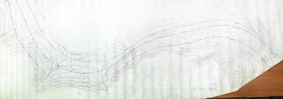
STANDARD GAUGE RAILWAY 1946 FREMANTLE TO KALGOORLIE MAP REFERENCES SG112/3R CCE 36028
-
STANDARD GAUGE RAILWAY 1946 FREMANTLE TO KALGOORLIE MAP REFERENCES SG114/3R CCE 35960
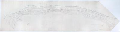
-
STANDARD GAUGE RAILWAY 1946 FREMANTLE TO KALGOORLIE MAP REFERENCES SG115/1R CCE 35776
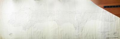
-
STANDARD GAUGE RAILWAY 1946 FREMANTLE TO KALGOORLIE MAP REFERENCES SG116/2R CCE 35839
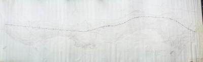
-
STANDARD GAUGE RAILWAY 1946 FREMANTLE TO KALGOORLIE SURVEY MAP REFERENCES SG116/4R CCE 35839
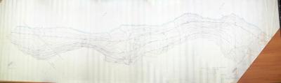
-
STANDARD GAUGE RAILWAY 1946 FREMANTLE TO KALGOORLIE SURVEY MAP REFERENCES SG117/3R CCE 35840
-
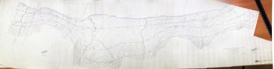
STANDARD GAUGE RAILWAY 1946 FREMANTLE TO KALGOORLIE SURVEY MAP REFERENCES SG126/1R CCE 36289
-
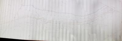
STANDARD GAUGE RAILWAY 1946 FREMANTLE TO KALGOORLIE SURVEY MAP REFERENCES SG126/1R CCE 36289
-
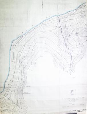
STANDARD GAUGE RAILWAY 1946 FREMANTLE TO KALGOORLIE SURVEY MAP REFERENCES SG119/C CCE 35932/3
-
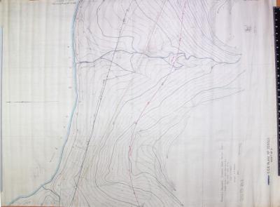
STANDARD GAUGE RAILWAY 1946 FREMANTLE TO KALGOORLIE SURVEY MAP REF: SG119/3 R3 SHEET 1 CCE 35932/3