Links to additional resources
Town of Claremont Museum > Records
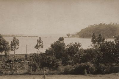
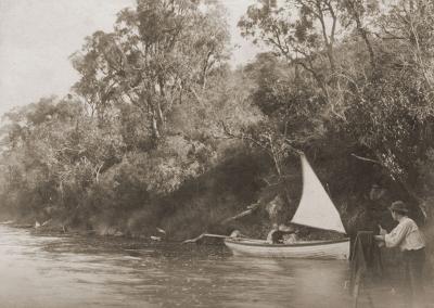
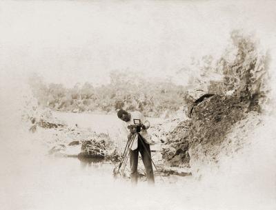
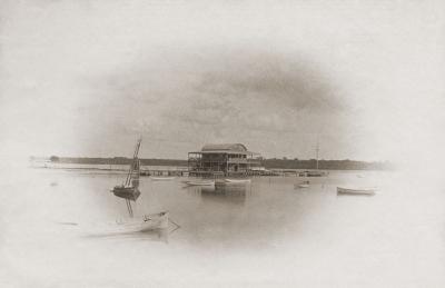
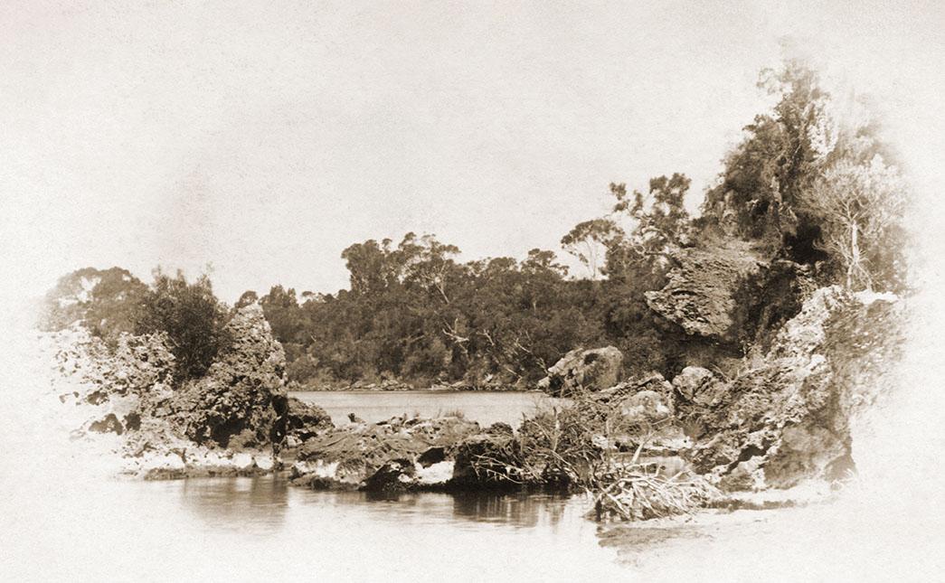
Blackwall Reach, Swan River
1895Overview
Artistic print of a rocky outcrop on the river shoreline.
Historical information
Blackwall Reach is a section of the Swan River in Western Australia.
Prior to European settlement, the area was known to the Noongar indigenous people as Jenalup, a sacred place linked to the Dreaming stories.
Blackwall Reach was named after an area of the River Thames near Greenwich UK in 1896 by admiralty surveyor L. S. Dawson. The name originally referred to that part of the river, rather than either side, but this changed in the twentieth century when the riverside land on the eastern bank just south of Point Walter was specifically called Blackwall Reach.
Details
Details
Registration number
cwa-org-28--9-220-d
Item type
Photographs
Themes
Inscriptions and markings
Caption in album [Blackwall Reach].
Contextual information
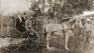
Australian social history from the collection of photographs and albums donated to the museum by Raymond Sharkey's family.
Raymond John Sharkey an architect, surveyor and amateur photographer was born in 1868 in New South Wales. Raymond was a Claremont resident when he died at an early age.
Year
Geotag
-32.020955, 115.780994
Open in Google Maps
Nearest geotagged records:
Nearby places: View all geotagged records »
Open in Google Maps
Nearest geotagged records:
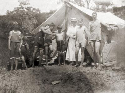
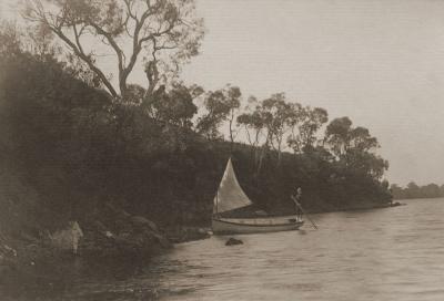
- Blackwall Reach Camp (0km away)
- Blackwall Reach, Swan River (0km away)
- Blackwall Reach, Swan River (0km away)
- Blackwall Reach, Swan River (0km away)
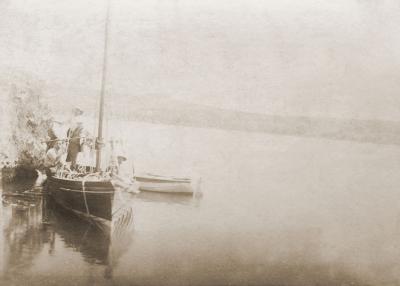
- Amateur Photographers Blackwell Reach (0km away)
- AWAS on Rottnest - WF94987 DRAPER (married DUBBELING) (1.03km away)
- World War 1, Australia, Western Australia, 3468 MYERS, 10 Light Horse (1.27km away)
- AWAS on Rottnest - WF53208 WINFIELD (married OSBORNE) (1.52km away)
- World War 1, Western Australia, FORDHAM, 16 Battalion, 1916 (1.57km away)
- PAINTING: 'A DAY AT MOSMANS BAY', WILLIAM FREDERICK STUART (1.62km away)
Nearby places: View all geotagged records »
Last modified
Tuesday, 8 July, 2025
Completeness
Copyright and Reference
Copyright and Reference
Rights category
Life of creator +70 years
Attribution requirements
Acknowledgements to be made to 'Claremont Museum 09.220d'.
Rights holder
Claremont Museum, Town of Claremont, Western Australia, 6010
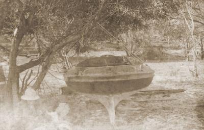
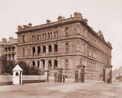
Other items by Sharkey Collection
-
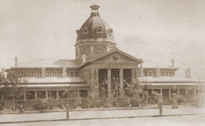
Bathurst Courthouse
-
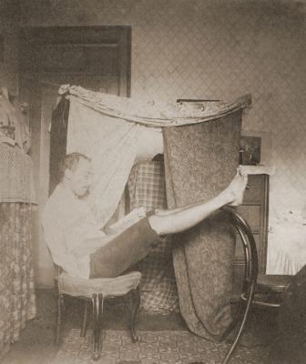
Man Inside Room With Privacy Curtains
-
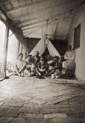
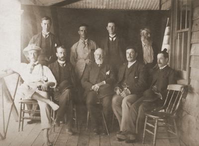
Men On 'Appy 'Ome' Verandah
-
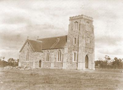
St John's Anglican Church, Northam
-
'Iolanthe'
-
Swan River And Mount Eliza
-
Chief Secretary's Office
-
Government House, Perth
-
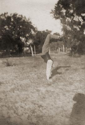
The Acrobat
-
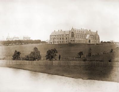
St John's College University of Sydney
-
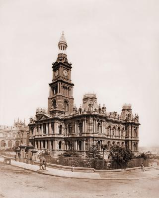
Sydney Town Hall
-
Royal Perth Yacht Club Members
More items like this
Other items from Town of Claremont Museum
Blackwall Reach, Swan River
Source: Claremont Museum 09.220d
Source: Claremont Museum 09.220d
Scan this QR code to open this page on your phone ->
