Cranbrook Public Library > Records
Bank of NSW
Subcollections
Overview
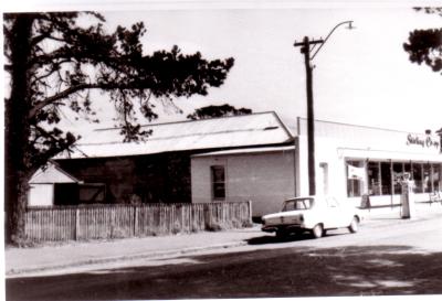
Bank of NSW.
Location Gathorne Street.
Details
Details
Registration number
cwa-org-130-Shire Photographic Collection Bicentennial Photo 122
Item type
Photographs
Material
Photographic Media
Geotag
-34.295424726465, 117.55449119203
Open in Google Maps
Nearest geotagged records:
Nearby places: View all geotagged records »
Open in Google Maps
Nearest geotagged records:
- Gathorne Street, Cranbrook - Late 1940s (0.01km away)
- AC Gardiners' Store, Gathorne Street, Cranbrook. circa late 1920. (0.03km away)
- Stirling Co-op (0.05km away)
- Gillams Cranbrook Drapery Store & Elder Smith & Co. Ltd. (0.06km away)
- Wilsons' Store, Shell Dealership and Dalgety & Co.Agency (0.06km away)
- Cranbrook Hotel (0.07km away)
- Syd Gillam in front of Cranbrook Hotel circa 1912. Looking North along Gathorne Street towards Hotel. (0.08km away)
- Cranbrook Hall circa 1930. Van delivering Star Talkie Film Show (0.09km away)
- Residence of H Wilson (0.1km away)
- Cranbrook Memorial Hall and Cranbrook Road Board Office. (0.1km away)
Nearby places: View all geotagged records »
Last modified
Thursday, 2 September, 2021
Other items from Cranbrook Public Library
-
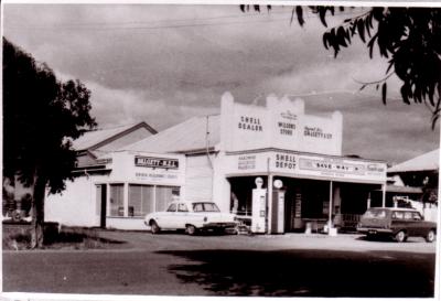
Wilsons' Store, Shell Dealership and Dalgety & Co.Agency
-
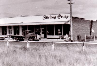
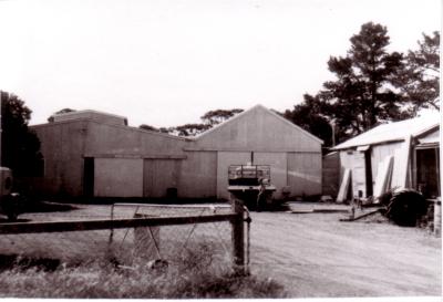
Stirling Co-op
-
Infant Health Centre
-
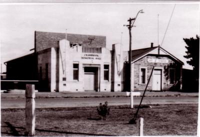
Cranbrook Memorial Hall and Cranbrook Road Board Office.
-
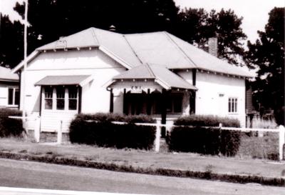
CWA (Country Womens Association) Rest Rooms
-
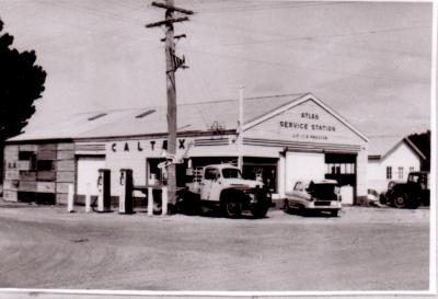
Atlas Service Station, JC & LR Preston
-
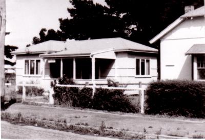
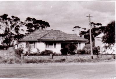
Residence of H Wilson
-
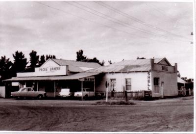
JB Pages Store and Bakery, and Shell Service Station.
-
Stirling Co-op
-
Stirling Co-op
-
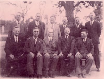
Cranbrook Road Board 1944
-
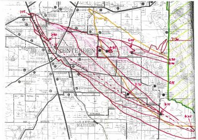
Map Of Fire Timelines
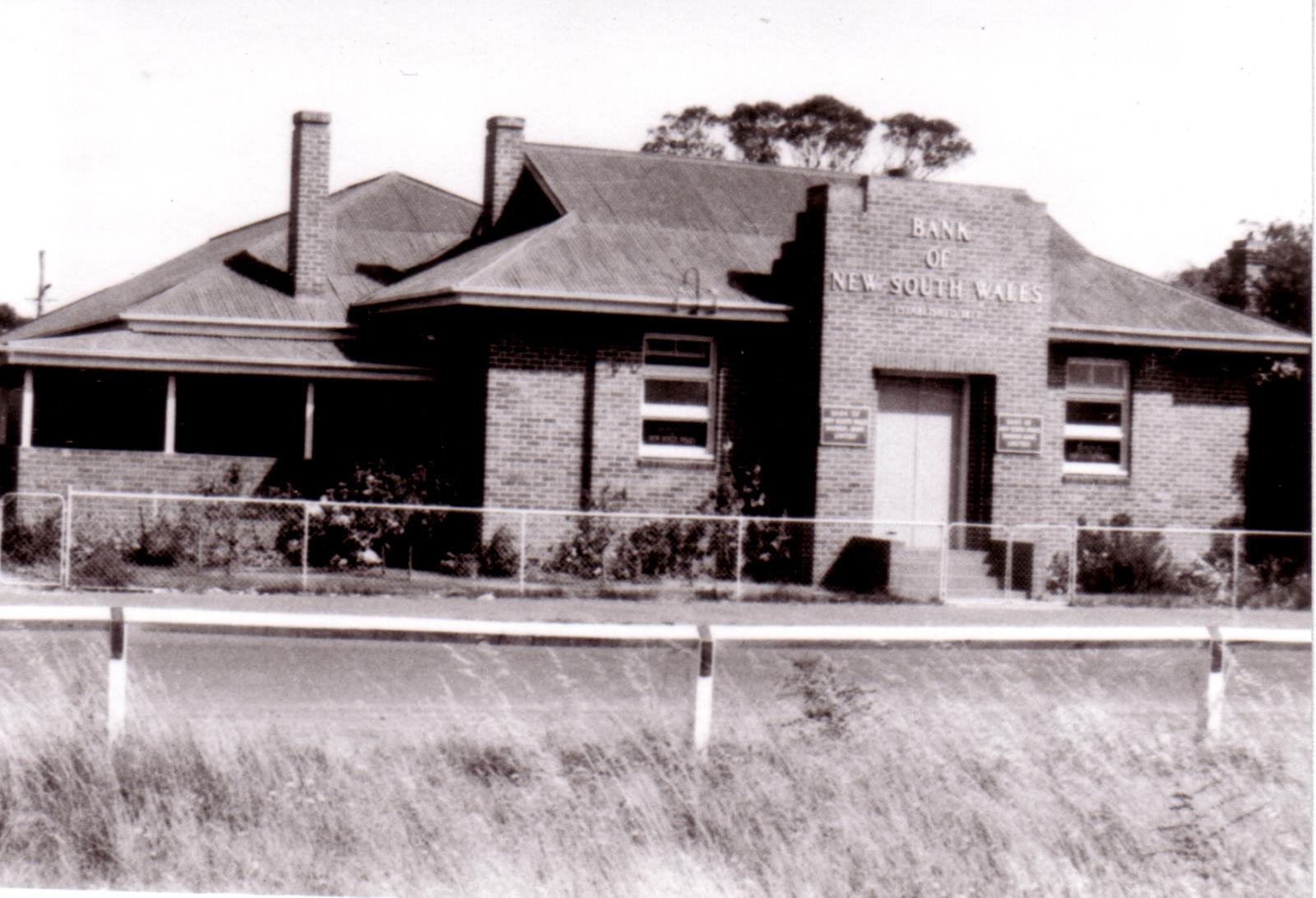
Bank of NSW, Climie Street.
Scan this QR code to open this page on your phone ->