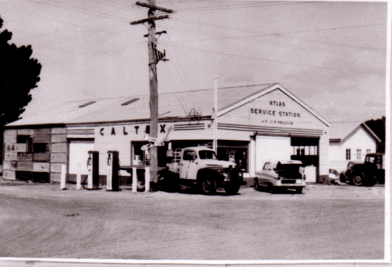
Atlas Service Station, JC & LR Preston
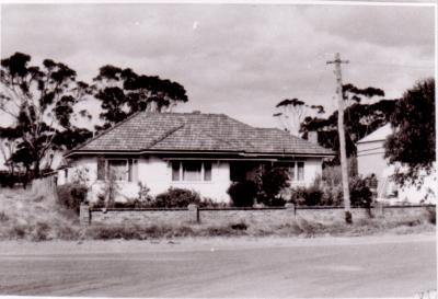
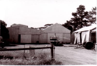
Atlas Service Station. Prop. JC & LR Preston.
Currently Cranbrook Community Mens Shed since 2012.
Located adjacent to the Baptist Church, on the corner of Gratham Street and Great Southern Highway (also called Climie Street)
circa 1960
Details
Details
Open in Google Maps
Nearest geotagged records:
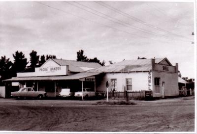
- JB Pages Store and Bakery, and Shell Service Station. (0.02km away)
- CWA (Country Womens Association) Rest Rooms (0.13km away)
- Infant Health Centre (0.13km away)
- World War 1, Europe Turkiye, Gallipoli, Anzac Cove, 10 Australian Light Horse, 655 GILLAM, 1915 (0.19km away)
- Cranbrook Motors (0.21km away)
- Cranbrook Motors, HB Kleeman, Prop. (0.21km away)
- Post Office & Telephone Exchange (0.22km away)
- Cranbrook Memorial Hall and Cranbrook Road Board Office. (0.25km away)
- Cranbrook Hall circa 1930. Van delivering Star Talkie Film Show (0.26km away)
- AC Gardiners' Store, Gathorne Street, Cranbrook. circa late 1920. (0.32km away)
Nearby places: View all geotagged records »
Other items from Cranbrook Public Library
- Residence of H Wilson
- JB Pages Store and Bakery, and Shell Service Station.
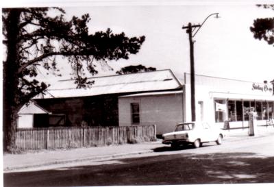
- Stirling Co-op
- Stirling Co-op
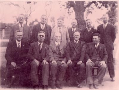
- Cranbrook Road Board 1944
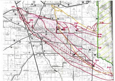
- Map Of Fire Timelines
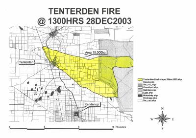
- Map Of Tenterden Fire @ 1300hrs 28th December 2003
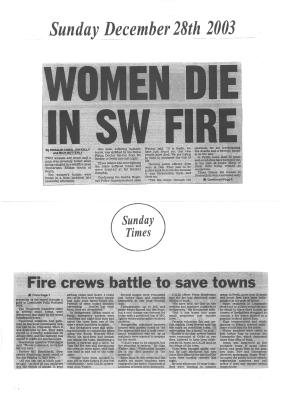
- Sunday 28th December 2003
- Monday 29th December 2003
- Monday 29th December 2003
- Monday 29th December 2003
- Tuesday 30th December 2003
Scan this QR code to open this page on your phone ->

