Please be advised: this website contains the names, images and voices of people who are now deceased.

Collections WA has a responsibility to preserve and make accessible the history and culture of Western Australia in all its various forms. The intention of Collections WA is to support research, and to reveal actions of the past that have impacted upon communities, families, and individuals.

In doing so, Collections WA acknowledges the need to respond sensitively and appropriately in cases when accessing this material may be confronting to Aboriginal visitors and clients.

Please also note: Some historical materials within this portal may include language or opinions that today are considered inappropriate or even offensive. Collections WA does not endorse this language and apologises for any distress caused.

Continue
Continue showing cultural advice
Stop showing cultural advice
CWA Logo Collections WA brings together collections from libraries, galleries, museums, archives, historical societies, cultural organisations, community groups and other collecting organisations across Western Australia.
Home Collections WA

Main navigation

  • Collections WA
  • Search
  • Stories
  • Organisations
  • News
  • Join
  • Log in
Cranbrook Public Library > Records

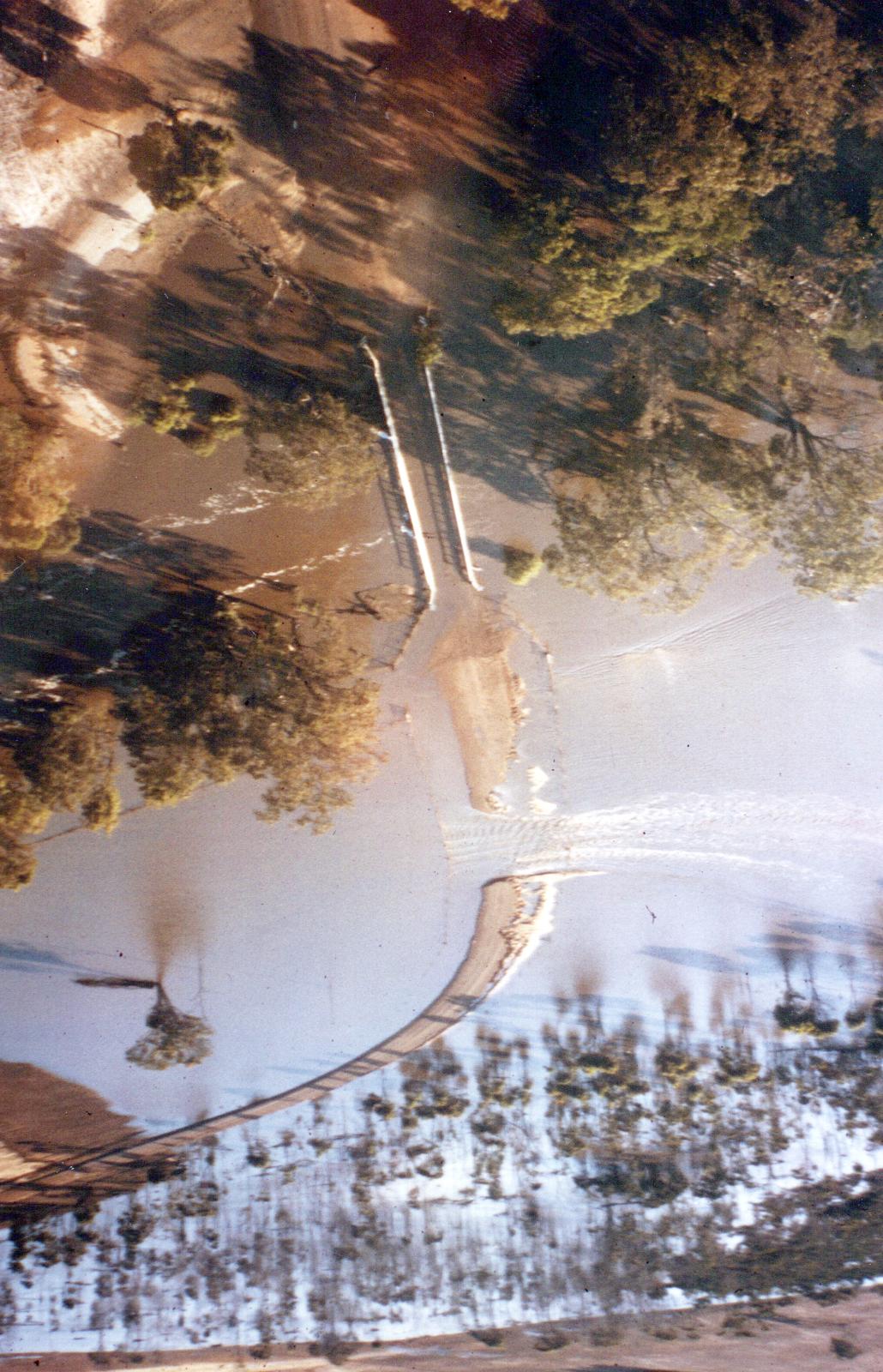
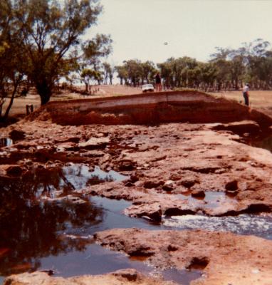
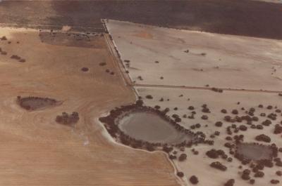
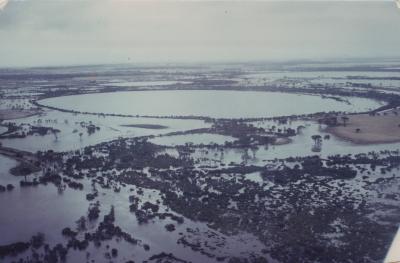
Aerial View Showing Flooded Boyacup Bridge.

« Prev Item Next Item »
Share:
Copied to clipboard
Subcollections
1982 Cranbrook Floods
Overview

Aerial View Showing Breach On The Northern Causeway Approach To The Flooded Boyacup Bridge.

Details

Details

Registration number
cwa-org-130-Floods 1982 Shire Of Cranbrook Photo 10
Item type
Photographs
Themes
People
Photography
Material
Photographic Media
Keywords
Boyacup Bridge
Cranbrook Shire
Cranbrook Public Library

Cranbrook Public Library

Organisation Details
View Collection
Item Feedback

Other items from Cranbrook Public Library

See all »

  • Aerial View Of Wingebellup Floodway.
    Aerial View Of Wingebellup Floodway.
  • Aerial View Of Yeriminup Causeway During Flood Of January 24Th,1982
    Aerial View Of Yeriminup Causeway During Flood Of January 24Th,1982
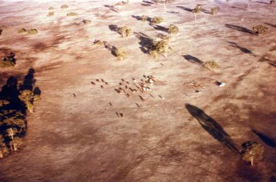
  • Aerial View Of Ray Wards Farm, Unaffected By Floods.
    Aerial View Of Ray Wards Farm, Unaffected By Floods.
  • Aerial View Of Ray Wards Property
    Aerial View Of Ray Wards Property
  • Aproximately 10,000msq, Of Earth Was Washed Down The Frankland River.
    Aproximately 10,000msq, Of Earth Was Washed Down The Frankland River.
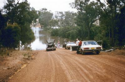
  • Frankland River With Floodwater Across Netley Road.
    Frankland River With Floodwater Across Netley Road.
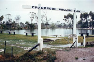
  • Cranbrook Bowling Green Under Water.
    Cranbrook Bowling Green Under Water.
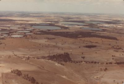
  • Cranbrook Northern Lake System, 12 Months After Flood.
    Cranbrook Northern Lake System, 12 Months After Flood.
  • Cranbrook Northern Lakes System In Flood.
    Cranbrook Northern Lakes System In Flood.
  • Cranbrook Shire Northern Lake System, 12 Months After Flood.
    Cranbrook Shire Northern Lake System, 12 Months After Flood.
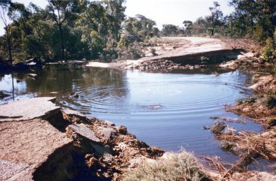
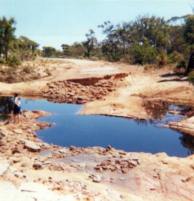
  • Damage To Shamrock Road
    Damage To Shamrock Road
  • Damage To Shamrock Road
    Damage To Shamrock Road

See all »

Back to Top
Aerial View Showing Breach On The Northern Causeway Approach To The Flooded Boyacup Bridge.
Media reuse | View full size | Item feedback

Scan this QR code to open this page on your phone ->

Footer Header

  • About
  • Apply to Join
  • Recently Updated Records
  • Join our Mailing List
  • Follow us on Facebook
  • Collections Sector Working Group
  • Contact
Western Australian Museum AMaGA Western Australia
Full size unavailable (you're already seeing this image in its highest resolution available on Collections WA)
Loading...