Cranbrook Public Library > Records
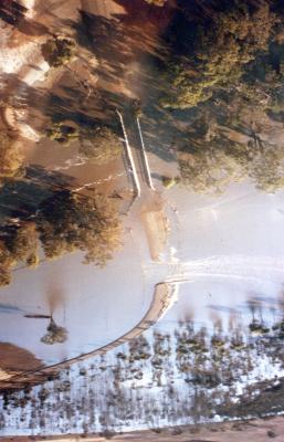
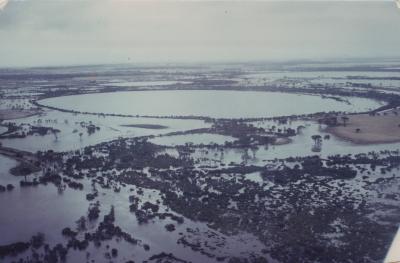
Aerial View Of The Flooded Yeriminup Bridge And Causeway.
Subcollections
Overview
Aerial View Of The Flooded Yeriminup Bridge And Causeway, Shortly After Peak Flood Height Was Reached.
At Peak Of The Flood, Only The Top Of The Bridge Rails Were Visible.
Details
Details
Registration number
cwa-org-130-Floods 1982 Shire Of Cranbrook Photo 09
Item type
Photographs
Material
Photographic Media
Last modified
Thursday, 18 February, 2021
Other items from Cranbrook Public Library
-
Aerial View Showing Flooded Boyacup Bridge.
-
Aerial View Of Wingebellup Floodway.
-
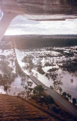
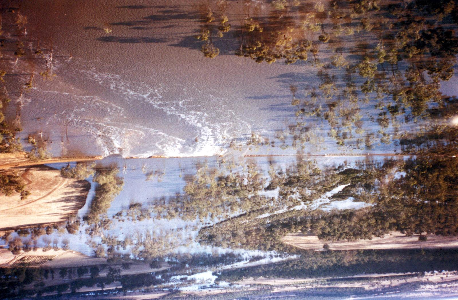
Aerial View Of Yeriminup Causeway During Flood Of January 24Th,1982
-
Aerial View Of Ray Wards Farm, Unaffected By Floods.
-
Aerial View Of Ray Wards Property

-
Aproximately 10,000msq, Of Earth Was Washed Down The Frankland River.
-
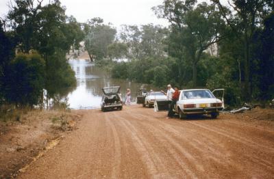
Frankland River With Floodwater Across Netley Road.
-
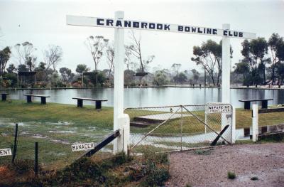
Cranbrook Bowling Green Under Water.
-
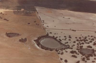
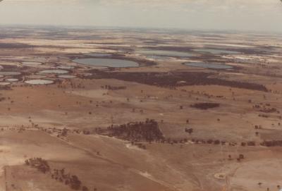
Cranbrook Northern Lake System, 12 Months After Flood.
-
Cranbrook Northern Lakes System In Flood.
-
Cranbrook Shire Northern Lake System, 12 Months After Flood.
-
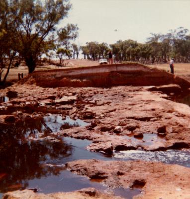
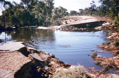
Damage To Shamrock Road
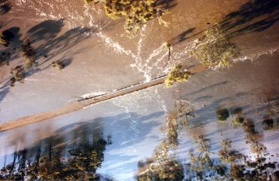
Aerial View Of The Flooded Yeriminup Bridge And Causeway, Shortly After Peak Flood Height Was Reached.
At Peak Of The Flood, Only The Top Of The Bridge Rails Were Visible.
At Peak Of The Flood, Only The Top Of The Bridge Rails Were Visible.
Scan this QR code to open this page on your phone ->