Cranbrook Public Library > Records
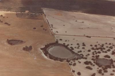
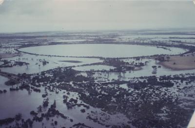
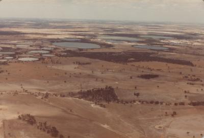
Aerial View Of Ray Wards Property
Subcollections
Overview
Aerial View Of Ray Wards Property, Unaffected By The Flood Of 1982.
Details
Details
Registration number
cwa-org-130-Floods 1982 Shire Of Cranbrook Photo 14
Item type
Photographs
Material
Photographic Media
Last modified
Thursday, 18 February, 2021
Other items from Cranbrook Public Library
-
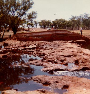
Aproximately 10,000msq, Of Earth Was Washed Down The Frankland River.
-
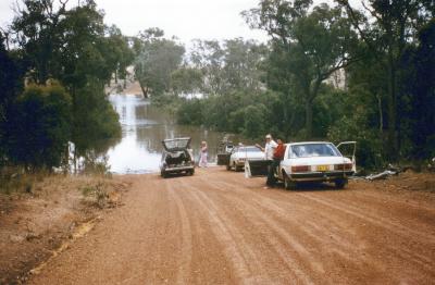
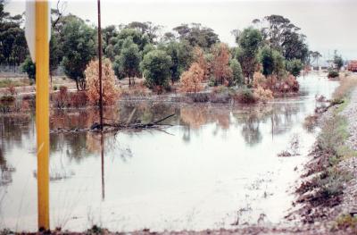
Frankland River With Floodwater Across Netley Road.
-
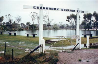
Cranbrook Bowling Green Under Water.
-
Cranbrook Northern Lake System, 12 Months After Flood.
-
Cranbrook Northern Lakes System In Flood.
-
Cranbrook Shire Northern Lake System, 12 Months After Flood.
-
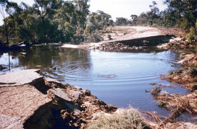
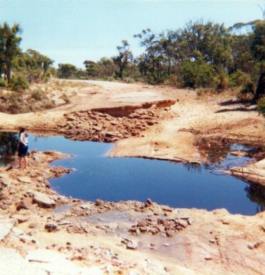
Damage To Shamrock Road
-
Damage To Shamrock Road
-
Railway Line East Of Cranbrook Township
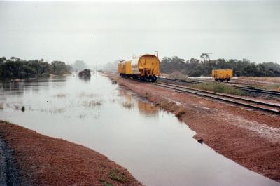
-
Railway Line East Of Cranbrook Township
-
Floodwaters Nunijup Area
-
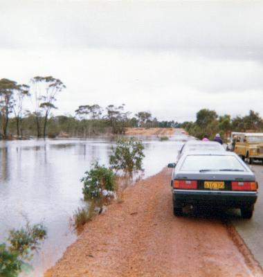
Frankland Kojonup Road
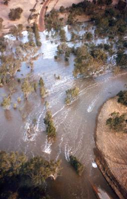
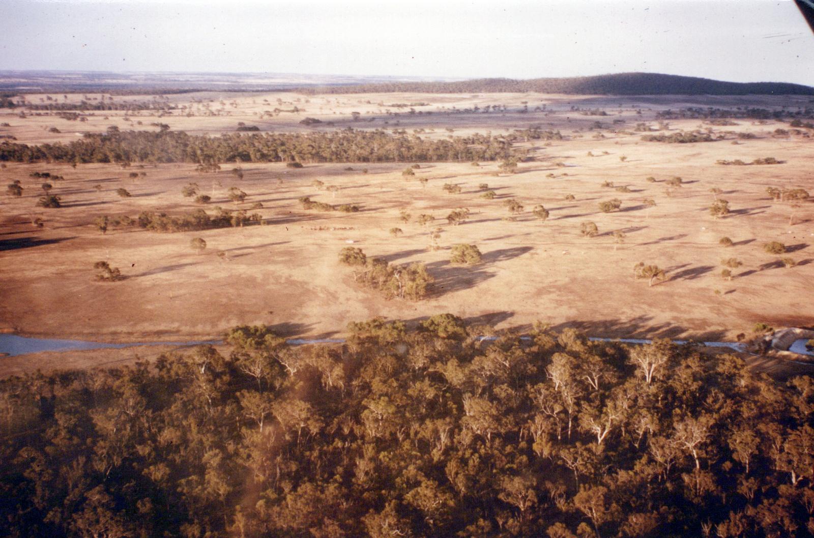
Aerial View Of Ray Wards Property, Unaffected By The Flood Of 1982.
Scan this QR code to open this page on your phone ->