Wanneroo Golf Club > Records
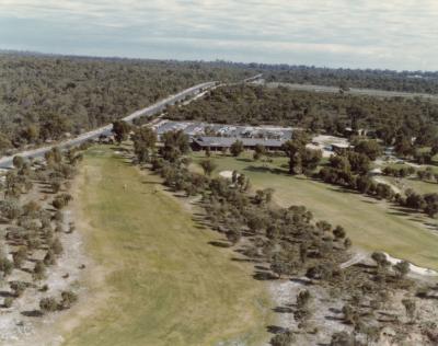
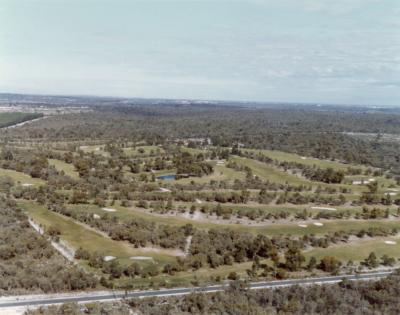
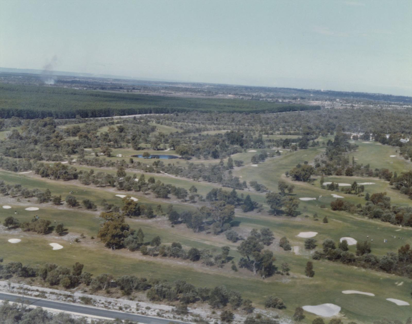
WGC Aerial View
c. 1982Overview
Aerial view of the Wanneroo Golf Club looking south-east.
The fifth hole in the foreground runs along Pederick Road.
The Gnangara-Pinjar-Yanchep pine plantation is top left.
Pinjar Road (renamed Old Yanchep Road in 2005) forms a boundary to the east.
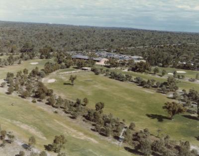
The lake between the fourteenth and fifteenth holes is in the centre.
The bunkers on the course have change markedly over the years.
Details
Details
Registration number
cwa-org-235-1982-course-406
Item type
Photographs
Keywords
The Course
1980s
Year
Last modified
Sunday, 30 November, 2025
Completeness
Copyright and Reference
Copyright and Reference
Attribution requirements
Acknowledgements to be made to 'Wanneroo Golf Club 406'.
Rights holder
Wanneroo Golf Club


WGC Aerial View
Source: Wanneroo Golf Club 406
Source: Wanneroo Golf Club 406
Scan this QR code to open this page on your phone ->
