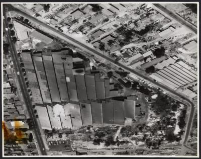
PHOTOGRAPH: AERIAL VIEW OF METTERS' BUILDINGS AND SURROUNDINGS
The black and white aerial photograph of Metters' factory, showing saw-toothed roofs. Vehicles and wasteland at lower end. Salvado Road (with broken white lines down the centre) runs on its left and Roydhouse Street on its right. There are residences on the left side of the picture and factories on the right. The buildings and pipes etc. at bottom of picture belong to Humes. Metters moved to this site in 1911. A few years after Metters ceased operations the buildings were demolished and the site is now occupied by Home Base. This photograph was taken after its 4000 sq.ft. showroom was completed. Its opening coincided with the 70th anniversary of the establishment of Metters in Western Australia.
Details
Details
Local, social and manufacturing history
Other items from Subiaco Museum
- PHOTOGRAPH: METTERS' WORKS - AERIAL VIEW
- PHOTOGRAPH: ROKEBY ROAD LOOKING NORTHWARDS
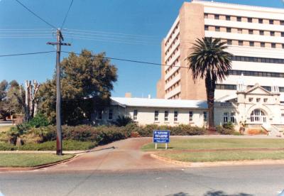
- PHOTOGRAPH: W.A. HEALTH MUSEUM (KING EDWARD MEMORIAL HOSPITAL/HARVEY HOUSE), 1988
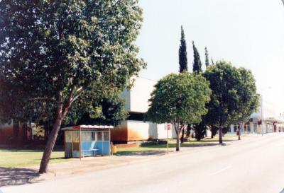
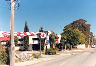
- PHOTOGRAPH: ROKEBY ROAD, NEAR BARKER ROAD INTERSECTION, 1988
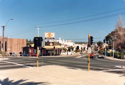
- PHOTOGRAPH: HAY STREET AND THOMAS SREET INTERSECTION, 1988
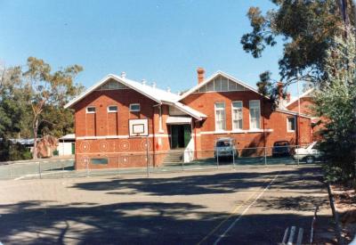
- PHOTOGRAPH: SUBIACO SCHOOL - SWANBOURNE DISTRICT EDUCATION CENTRE, 1988
- PHOTOGRAPH: SUBIACO MUNICIPAL LIBRARY, 1988
- PHOTOGRAPH: SUBIACO MUNICIPAL LIBRARY
- PHOTOGRAPH: NEDLANDS FROM FORESHORE, 1988
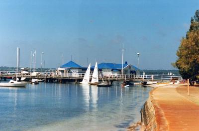
- PHOTOGRAPH: NEDLANDS FROM PIER
- PHOTOGRAPH: MAITLAND'S BAKERY, RAPHAEL ST, NOW HOUSING SUBIACO PCYC, 1970
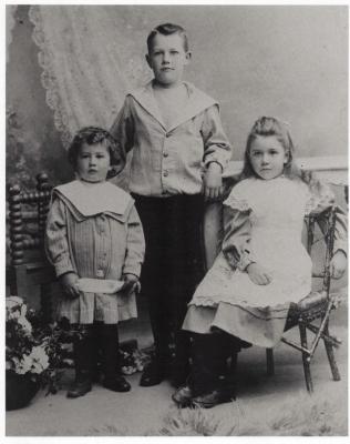
- PHOTOGRAPH (COPY): THREE CHILDREN: TUDOR, DORIS AND IVOR RHYS, CIRCA 1900
