Surveying in the Whiteman Collection
Revolutions Transport Museum
Since ancient times, cartography has been a way in which people could navigate and organise their space. It is also an essential aspect of transport history, represented in our collection with surveying instruments and maps.
Ancient navigators
For thousands of years, Noongar history, culture, and way of life was not written down, but rather told through stories, songs, and natural imagery. Maps, for example, were illustrated in the night sky; constellations were used as memory devices for ancient Aboriginals to remember paths on country, called songlines. Songlines could lead to waterholes, meeting places, or sources of food.
When the British ships arrived on the western coast, the Australian bush was almost too thick and harsh to travel through. Colonial settlers therefore created major roads out of tracks already walked upon by Aboriginals for thousands of years, which in turn were made from patterns in the stars. A lot of this expansive country is a mirror of our starry southern sky.
Mapping on the move
The British had an idea of the general shape of the country from previous European explorations. Their priority was land use, i.e. finding space for towns and agriculture, and for that they needed details. What was the land like? Was it arable? Would they survive here? So, physical maps were made via land surveying: accurately measuring the surrounding environment and transferring its details to paper.
In the 1800s, surveying was an integral part of colonial life, and it was dangerous, demanding work. Travelling throughout the uncharted country for weeks or months at a time came with a myriad of challenges. Surveyors had to be fit, resourceful and intelligent. Supplies were limited, the weather was harsh with both storms and drought, flora and fauna were unfamiliar. The horses and oxen brought to Australia were not used to the conditions and often perished on the long journeys, leaving surveyors adrift. It was not uncommon for they themselves to disappear.
There was also an underlying wariness of Aboriginal resistance. Surveying was a key step the British needed to take in order to stake their claim to the country – details of the land were gathered in order to figure out how to take it and stay on it. Eventually, areas were plotted and sold to emigrating British, displacing the Aboriginal communities who had inhabited the country for thousands of years beforehand.

1998.335. A map of John Forrest's three expeditions
Maps in the Whiteman Collection: colonial expeditions
"Grassy plain extending as far as the eye can reach in every direction, not a tree visible. Very gently undulating grassy Country."
–Noted on John Forrest's map describing his journey from Perth to Adelaide
Within our collection are two maps detailing John Forrest's three main journeys throughout the country between 1869 and 1874. Before becoming Western Australia's first premier, Forrest was a respected explorer. His team included his brother, Alexander – together the pair made formidable surveyors – and Aboriginal explorer Tommy Windich, who often found horse feed and drinking water in the form of natural wells and waterholes.
Their first journey, the search for the missing explorer Ludwig Leichhardt, yielded little tangible results, but brought publicity to Forrest's own skill. This earned him another expedition in 1870, surveying a land route along the Great Australian Bight, from Perth to Adelaide, supporting the installation of a telegraph line along the southern coast. Four years later, Forrest led his team on the first west to east expedition via the centre of Western Australia, from Geraldton to Adelaide.

1998.336. This map shows the central portion of Forrest's journey from Perth to Adelaide. The comments throughout the trek describe a lot of the area as grassy plains, with little foliage. By then, this was already named the Nullarbor – Latin for 'no trees'.

Closeup of a portion of John Forrest's journey from Perth to Adelaide.
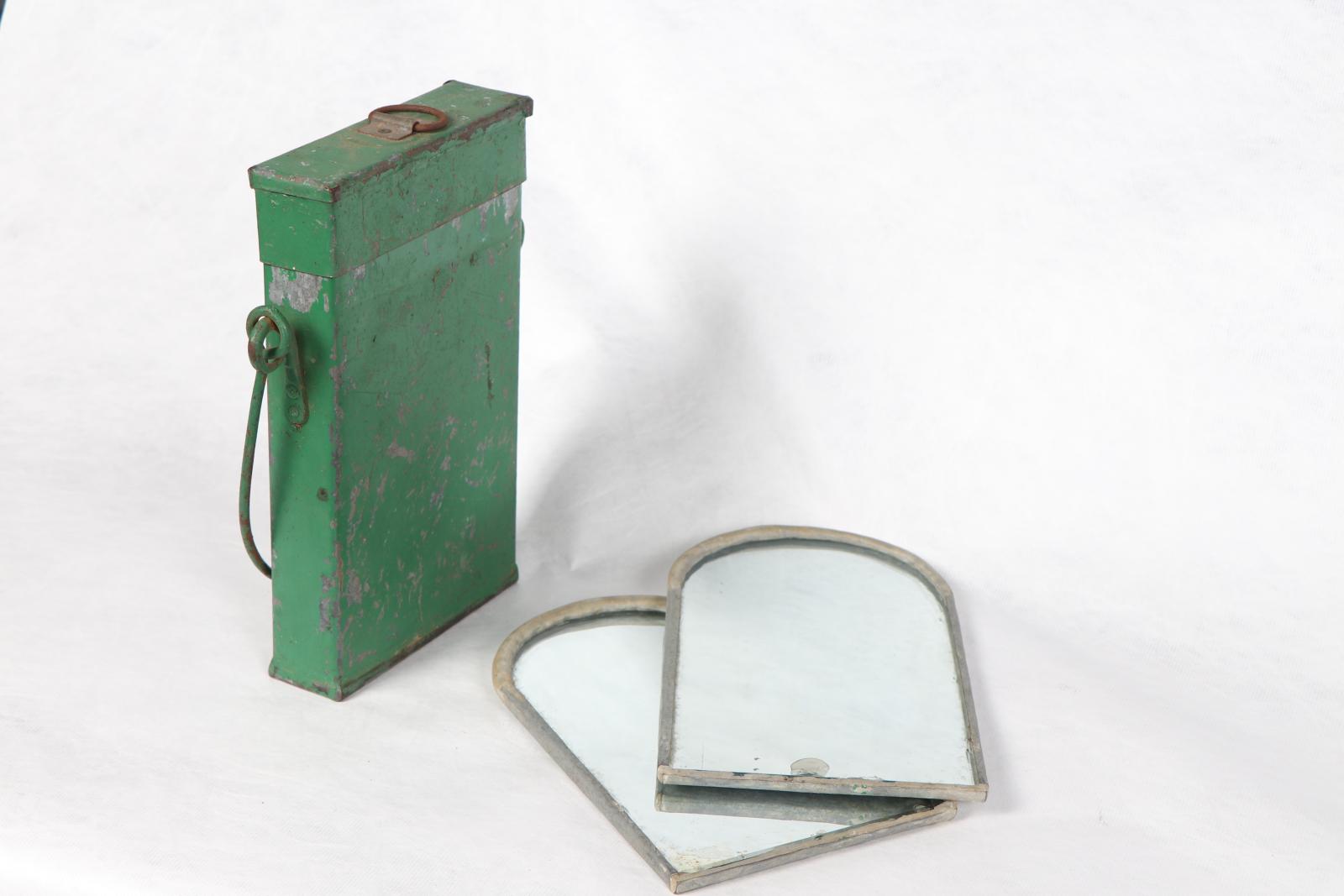
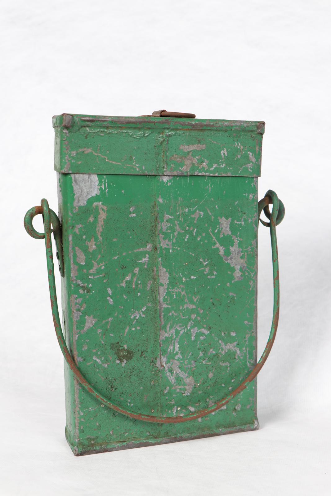
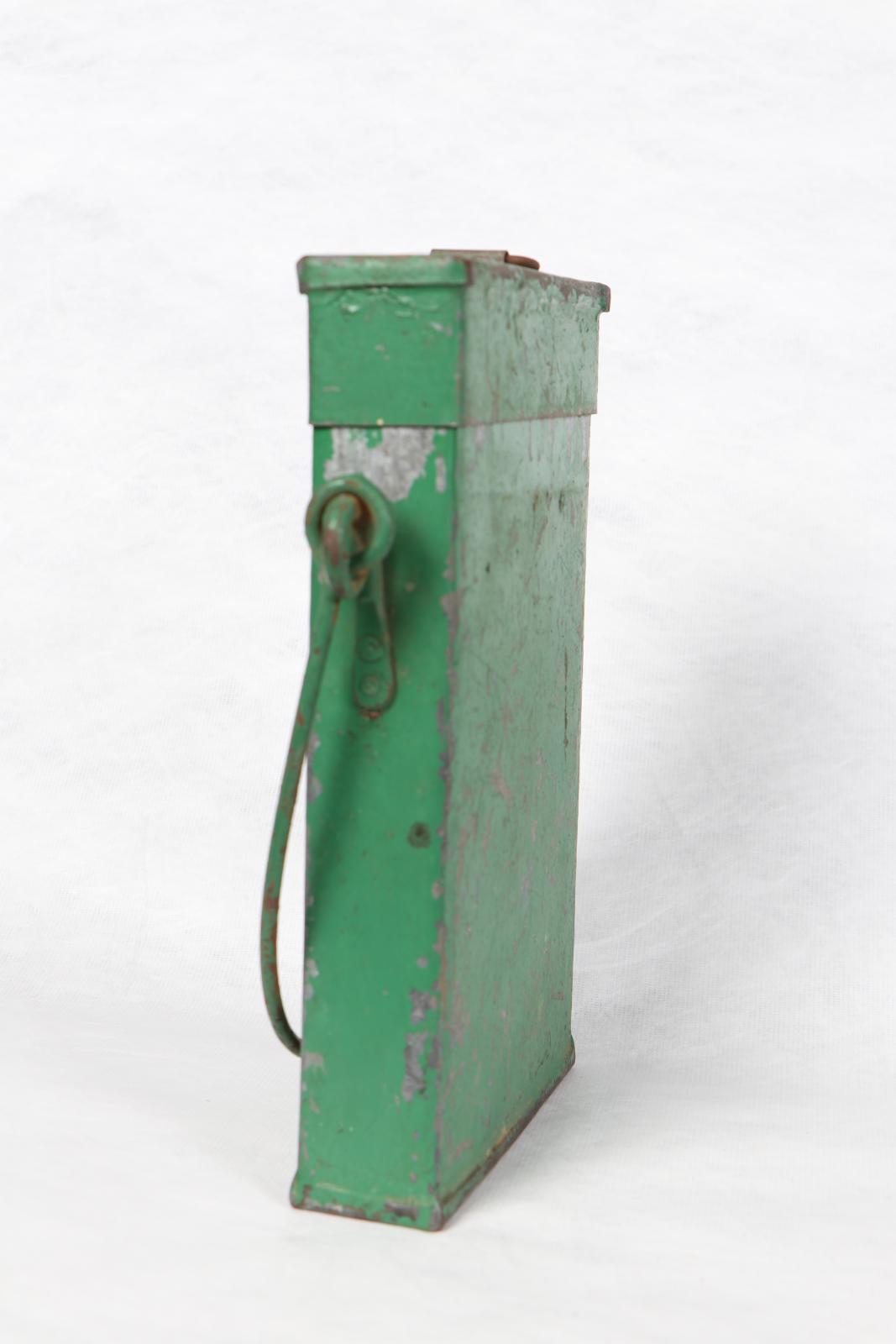
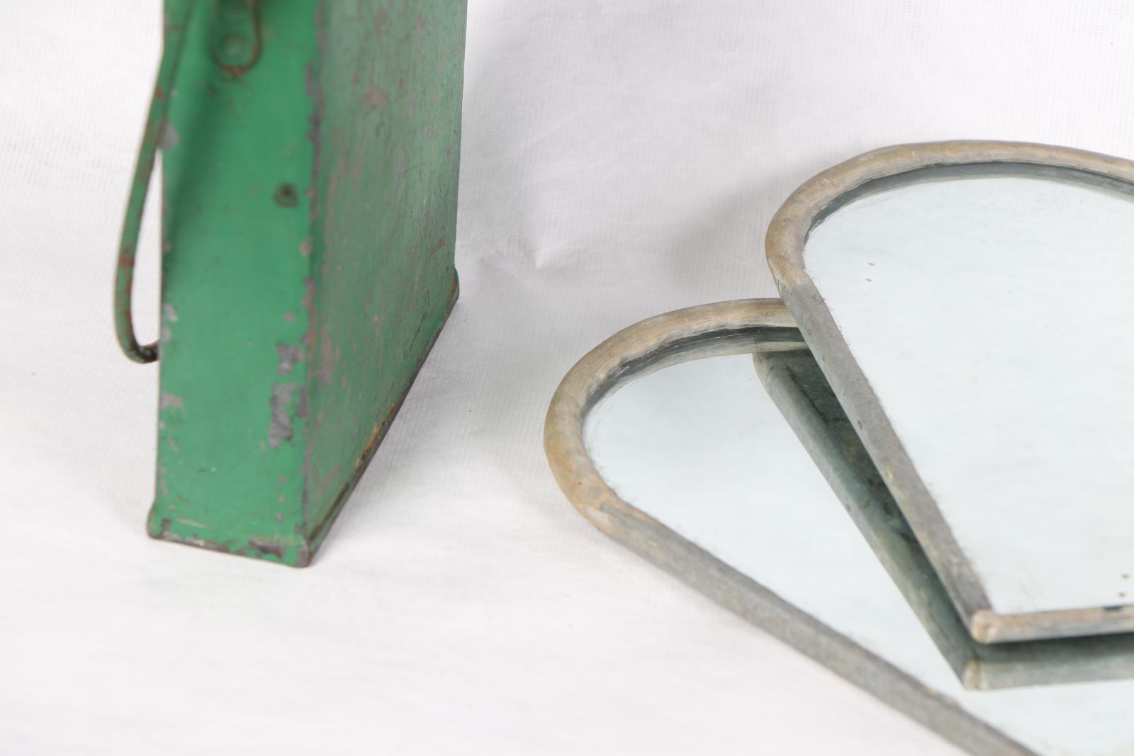
A Surveyor's Essentials
With the profession dating back millennia, there are all sorts of instruments that have been developed for surveying throughout history. These objects from the Whiteman Collection are just some examples of the tools surveyors used to convert physical territory into two-dimensional maps.