Kojonup Historical Collection > Records
SOUTH OF KOJONUP 1928
1928Subcollections
Overview
Area map of south of Kojonup to Slab Hut Gully. C1928. Some names of property owners are on the map, including PP Thorn, D Potts, C. Anderson and Trethowen and Cook. The Potts farm is fully marked
Details
Details
Registration number
cwa-org-201-MA2002.3
Item type
Maps
Inscriptions and markings
see above
Keywords
POTTS Family
Year
Last modified
Monday, 23 February, 2026
Completeness
Other items from Kojonup Historical Collection
-
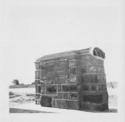
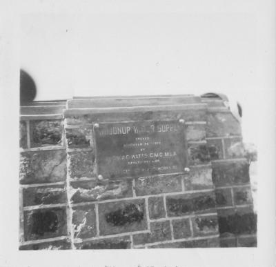
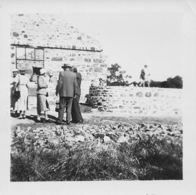
OPENING OF KOJONUP WATER SUPPLY BY HON A.F. WATTS C.M.G. M.L.A. NOV 29TH 1952
-
OPENING OF KOJONUP WATER SUPPLY BY HON A.F. WATTS C.M.G. M.L.A. NOV 29TH 1952
-
OPENING OF RETURNED SERVICES LEAGUE (RSL) HALL 3RD OCTOBER 1953
-
OPENING OF RETURNED SERVICES LEAGUE (RSL) HALL 3RD OCTOBER 1953
-
O'HALLORAN KEVIN
-
O'HALLORAN KEVIN
-
FIRE BRIGADE

-
KOJONUP RACES
-
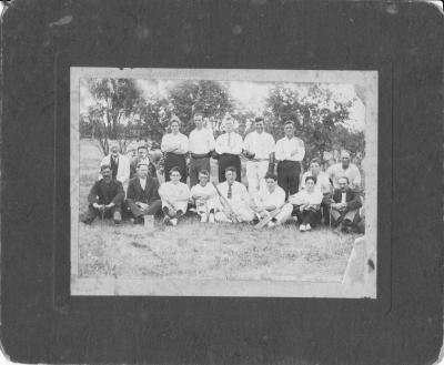
CRICKET
-
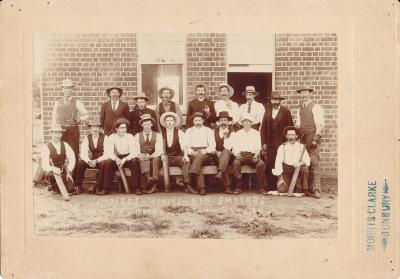
SMOKERS V NON SMOKERS CRICKET MATCH 1904
-
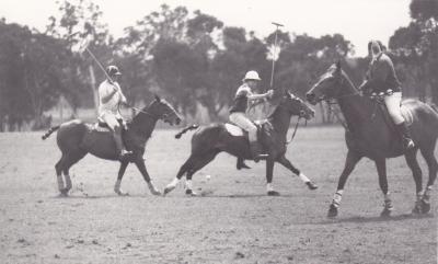
POLO CROSS
-
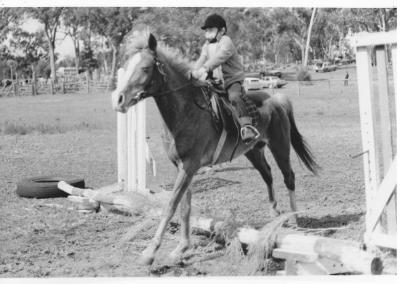
PONY CLUB