Kojonup Historical Collection > Records
KOJONUP AND DISTRICTS WITH PROPERTY NAMES
1964Subcollections
Overview
A large map of the Kojonup district and the Neighbouring Shires. This map also has lists of Property names and Owners of thes different Shires. Shires include: Kojonup, Katanning, Tambellup, Cranbrook, Frankland and Rocky Gully and Broomehill.
Details
Details
Registration number
cwa-org-201-MA2002.8a
Item type
Maps
Keywords
Kojonup Roads Board
Year
Statement of significance
Property names and Owner names over this period.
Last modified
Monday, 23 February, 2026
Completeness
Other items from Kojonup Historical Collection
-
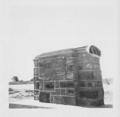
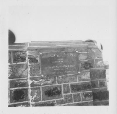
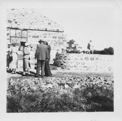
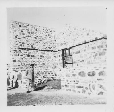
OPENING OF KOJONUP WATER SUPPLY BY HON A.F. WATTS C.M.G. M.L.A. NOV 29TH 1952
-
OPENING OF KOJONUP WATER SUPPLY BY HON A.F. WATTS C.M.G. M.L.A. NOV 29TH 1952
-
OPENING OF RETURNED SERVICES LEAGUE (RSL) HALL 3RD OCTOBER 1953
-
OPENING OF RETURNED SERVICES LEAGUE (RSL) HALL 3RD OCTOBER 1953
-
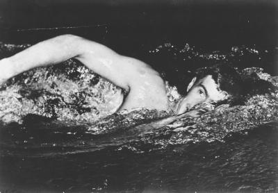
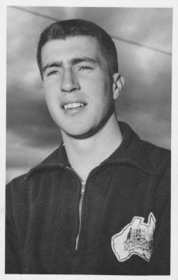
O'HALLORAN KEVIN
-
O'HALLORAN KEVIN
-
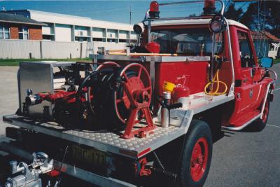
FIRE BRIGADE
-
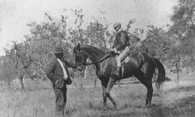
KOJONUP RACES
-
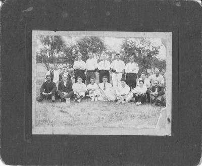
CRICKET
-
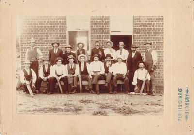
SMOKERS V NON SMOKERS CRICKET MATCH 1904
-
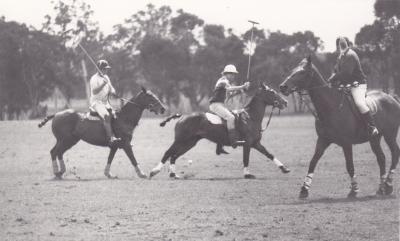
POLO CROSS
-
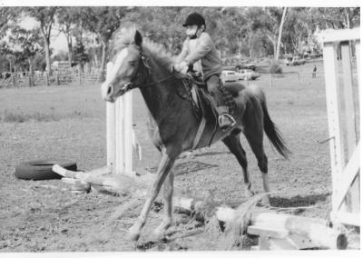
PONY CLUB