Curtin University Library > Records
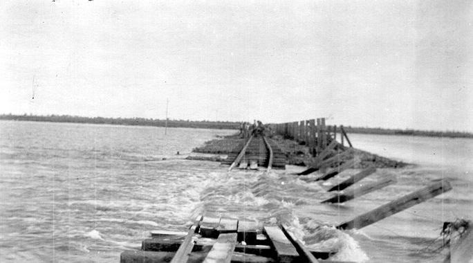
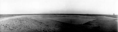
Flooded causeway at Lake Raeside.
c. 1920 - 1925Subcollections
Overview
Additional information from photograph: "The 'Causeway' Lake Raeside at the height of the floods. The water was nearly up to the top of the fence on the right."
Details
Details
Registration number
cwa-org-103-JCPML00830/52
Item type
Photographs
Material
Prints (Photographic)
Year
Geotag
-29.308503921228, 121.99286009502
Open in Google Maps
Nearest geotagged records: View all geotagged records »
Open in Google Maps
Nearest geotagged records: View all geotagged records »
Last modified
Friday, 25 November, 2022
Other items by McCallum, Alexander.
-
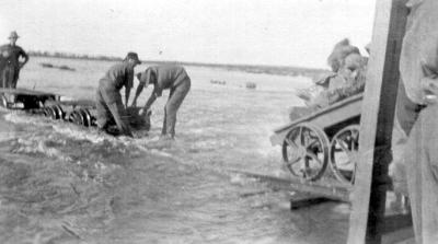
Workmen at Lake Raeside
-
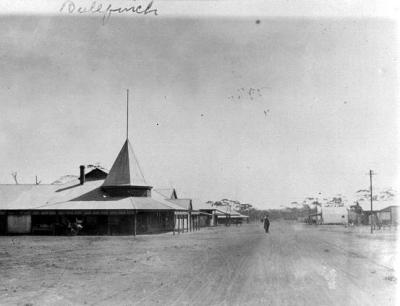
Alex McCallum, Bullfinch, 1917.
-
Rocky outcrop, [Mt Buffalo?].
![Rocky outcrop, [Mt Buffalo?].](https://collectionswa.net.au/sites/default/files/styles/thumbnail/public/records/2022-11/103-JCPML00830_175_89-record_mfile_cAO3V00.jpg?itok=DEMGC3lO)
-
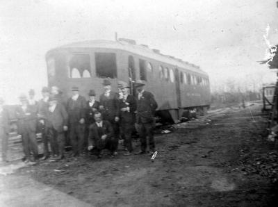
Alex McCallum and others & railmotor.
-
Pigs at Koojarlee.
-
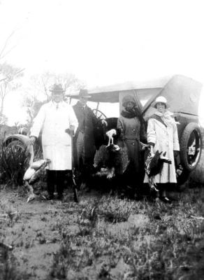
Alex and Bessie McCallum on a wild turkey shoot, Leonora
-
Grain crop at Koojarlee
-
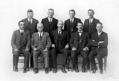
First Collier Government, Western Australia ca 1924.
-
Stock dam at Koojarlee
-
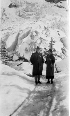
Alex and Bessie McCallum in snowfield, 1928.
-
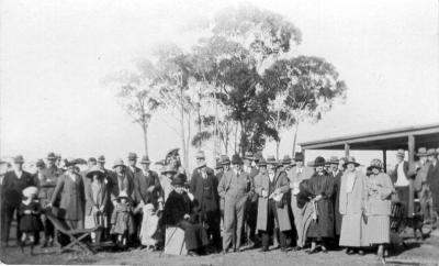
Alex and Bessie McCallum in large gathering at Lake Brown (North of Merredin), July 1924.
-
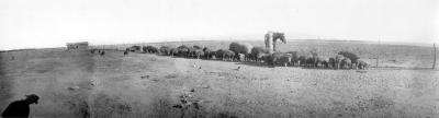
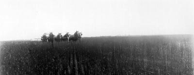
Draught horse team at Koojarlee.
Other items from Curtin University Library
-
Flooding at Lake Raeside.

-
Flood damage between Leonora and Gwalia.

-
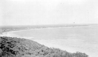
Esperance coastline.
-
Stack of bags of wheat at Esperance.

-
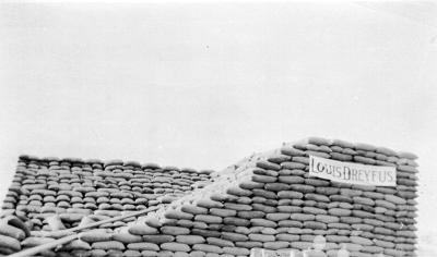
Stack of bags of wheat marked "Louis Dreyfus" at Esperance.
-
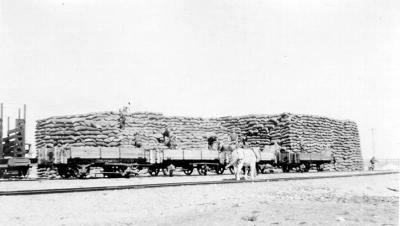
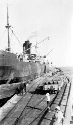
Unloading wheat from rail wagons, Esperance.
-
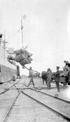
Wharfies loading wheat onto ship, Esperance.
-
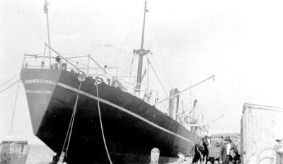
Cargo ship "Grantley Hall" at Esperance.
-
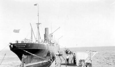
Cargo ship "Devon City" at Esperance.
-
Cargo ship at Esperance jetty.

-
Wheat being loaded on ship at Esperance.
-
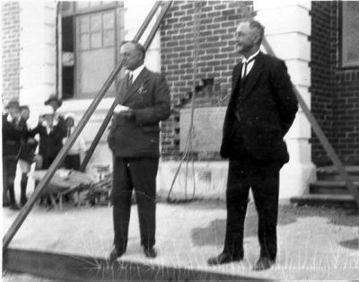
Alex McCallum, foundation stone ceremony.