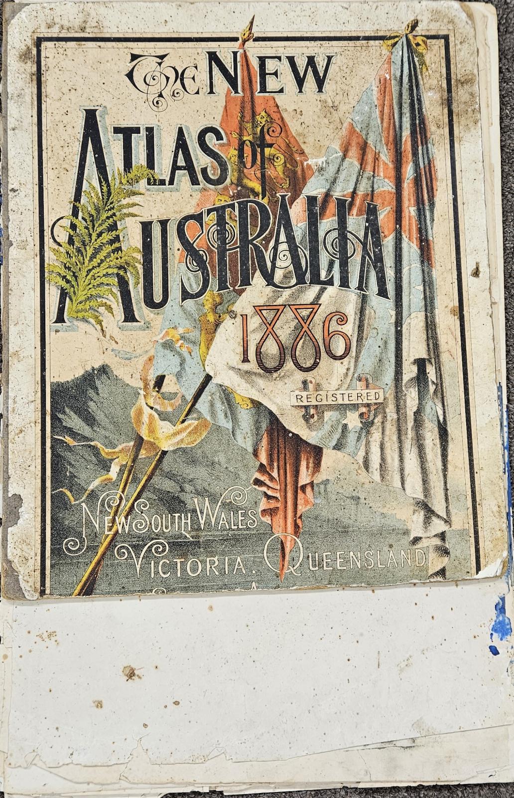
Book - "New Atlas of Australia 1886" - owned by Elijah Dawson
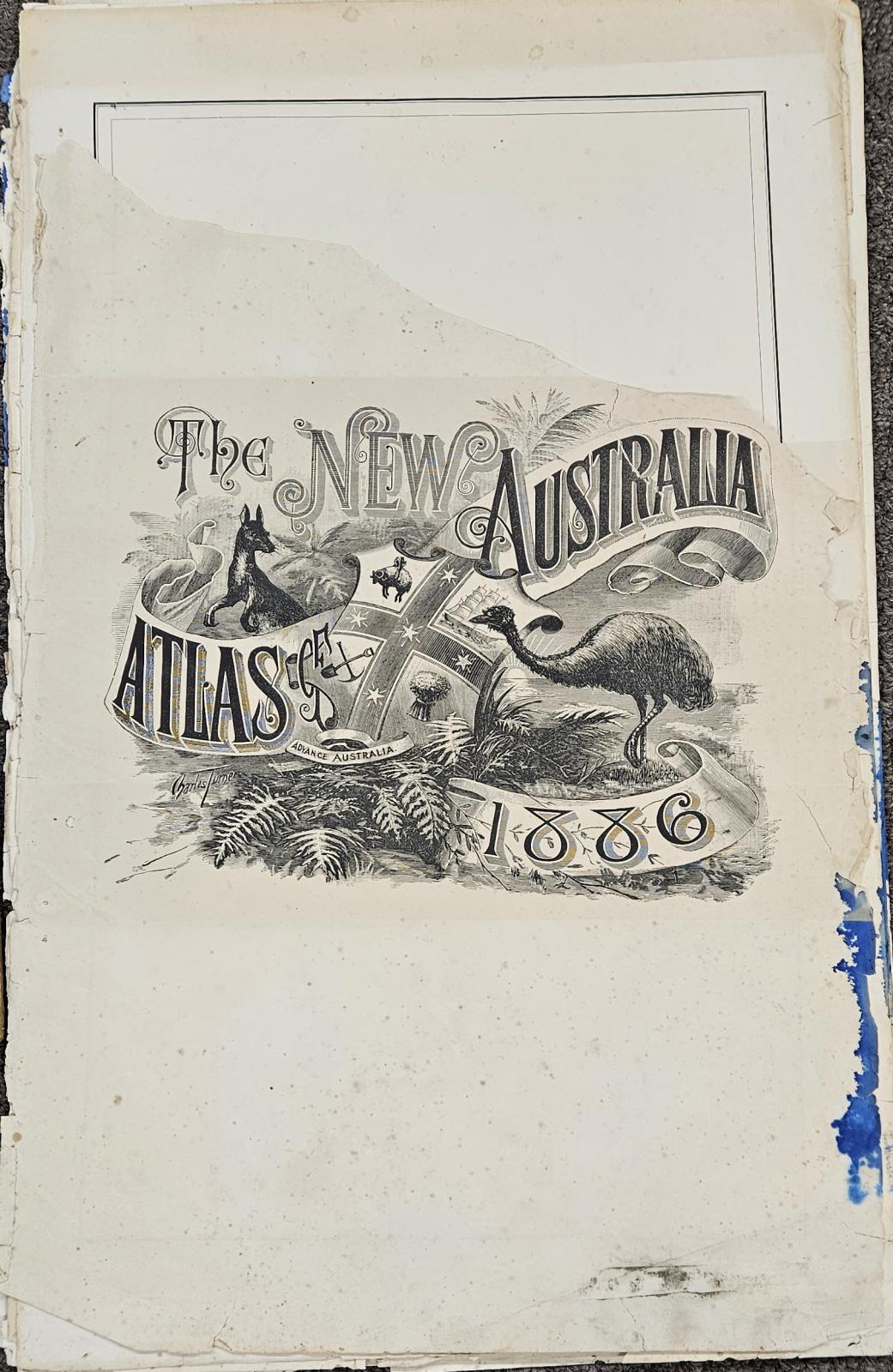
1886The New Atlas of Australia 1886, published by John Sands in Sydney and edited by Robert McLean, was the first large-scale, 5-volume atlas of the Australian colonies. It features over 100 detailed, colored maps, covering geography, explorer tracks, and statistics for NSW, Victoria, Queensland, SA, and WA
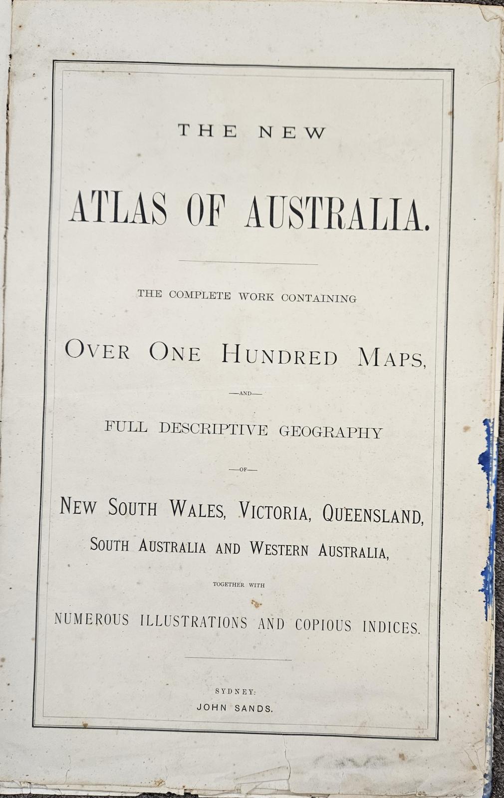
Title: The New Atlas of Australia : the complete work containing over one hundred maps and full descriptive geography of New South Wales, Victoria, Queensland, South Australia and Western Australia, together with numerous illustrations and copious indices / [edited by Robert McLean]
Created/Published: Sydney : J. Sands, [1886]
Extent
1 atlas (5 volumes) : illustrations (some colour), colour maps ; 51 cm.
Reference: https://nla.gov.au/nla.obj-231044049/view
Details
Details
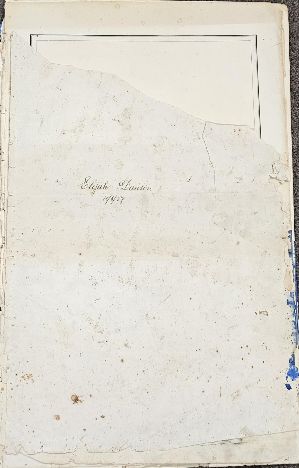
" Elijah Dawson. 10/06/87 "
This Atlas belonged to Elijah Dawson in 1887. His name and the date is written on the fly-leaf.
Other items from Busselton Historical Society
-
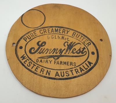
Sunnywest - Butter Box Lids
-
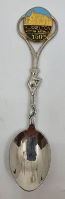
Souvenir - Busselton 150th Anniversary Teaspoon
-
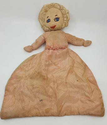
Handmade Lingerie Doll
-
Bisque Baby Doll

-
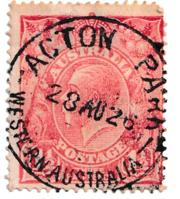
Postage Stamp - postmarked Acton Park 1926
-
Bisque Doll - Koppelsdorf

-
Cream Cans & Name Plates

-
Thomas Lofthouse Collection

-
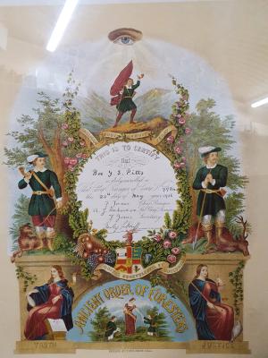
Ancient Order of Foresters Certificate - George Samuel Pitts
-
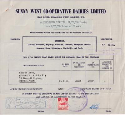
Sunny West - Shares certificate
-
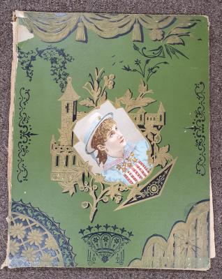
Scrapbook Album - owned by Florence Hore
-
International Harvester Portable Engine


Publisher: John Sands (Firm)