

Cranbrook Public Library > Records
Frankland River at peak flood crossing the Frankland Kojonup road bridge.
Subcollections
Overview
Frankland River at peak flood crossing the Frankland Kojonup submerged road bridge.
Details
Details
Registration number
cwa-org-130-Floods 1982 Shire Of Cranbrook Photo 29
Item type
Photographs
Material
Photographic Media
Last modified
Thursday, 18 February, 2021
Completeness
Other items from Cranbrook Public Library
-
Kent River crossing on Nunijup Road

-
Nunijup Road, Kent River.

-
Lake Poorrarecup and surrounding lakes after floods.

-
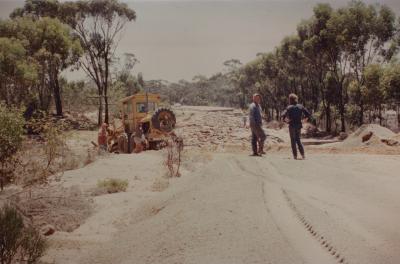
Main Roads Department attempting repair on Albany Highway.
-
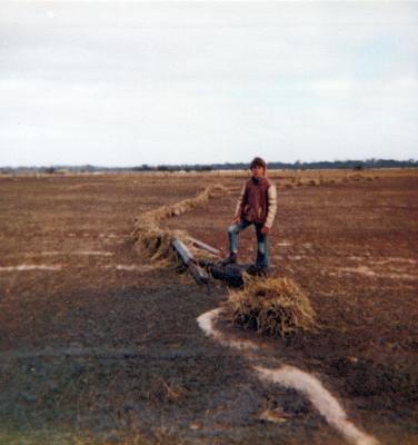
McInnes Property, restoring fence line.
-
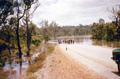
Muir Bridge
-
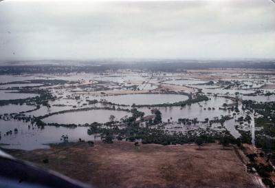
Northern Lake System
-
Part of the lakes system near Rob Standishs' house.
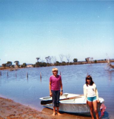
-
Percy Lawrences' home that was inondated , and isolated by the floods.
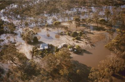
-
A McInnes Property
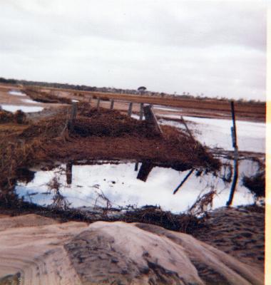
-
Receding floodwaters at Slab Hut creek, through Ron Dennys' property.
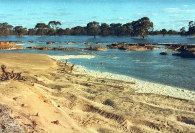
-
Shamrock Road, resulting flood damage.
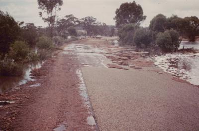

Frankland River at peak flood crossing the Frankland Kojonup submerged road bridge.
Scan this QR code to open this page on your phone ->
