Cranbrook Public Library > Records
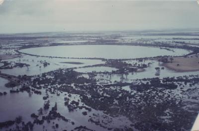
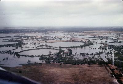
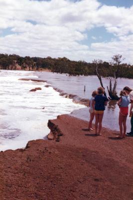
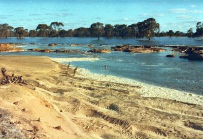
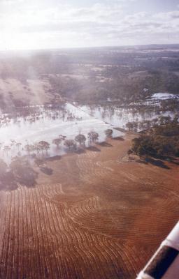
Lake Poorrarecup and surrounding lakes after floods.
Subcollections
Overview
Lake Poorrarecup and surrounding lakes after floods.
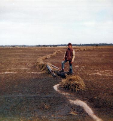
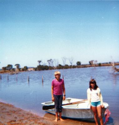
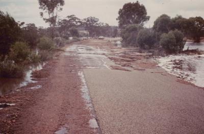
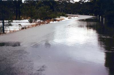
Little or no run-off.
Details
Details
Registration number
cwa-org-130-Floods 1982 Shire Of Cranbrook Photo 32
Item type
Photographs
Material
Photographic Media
Geotag
-34.418919344461, 117.22779994931
Open in Google Maps
Nearest geotagged records:
Open in Google Maps
Nearest geotagged records:
Zero geotagged records found within 2km
View all geotagged records »Last modified
Monday, 6 September, 2021
More items like this
Other items from Cranbrook Public Library
-
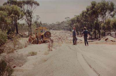
Main Roads Department attempting repair on Albany Highway.
-
McInnes Property, restoring fence line.
-
Muir Bridge
-
Northern Lake System
-
Part of the lakes system near Rob Standishs' house.
-
Percy Lawrences' home that was inondated , and isolated by the floods.
-
A McInnes Property
-
Frankland River at Yeriminup Bridge.
-
Receding floodwaters at Slab Hut creek, through Ron Dennys' property.
-
Receding floodwaters near the Yeriminup Bridge, Frankland River.
-
Shamrock Road, resulting flood damage.
-
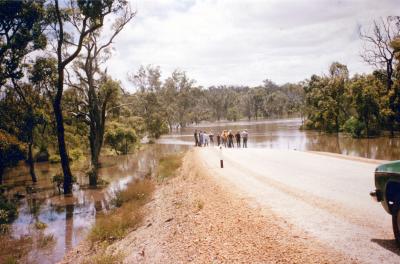
Rising floodwaters, Albany Highway.
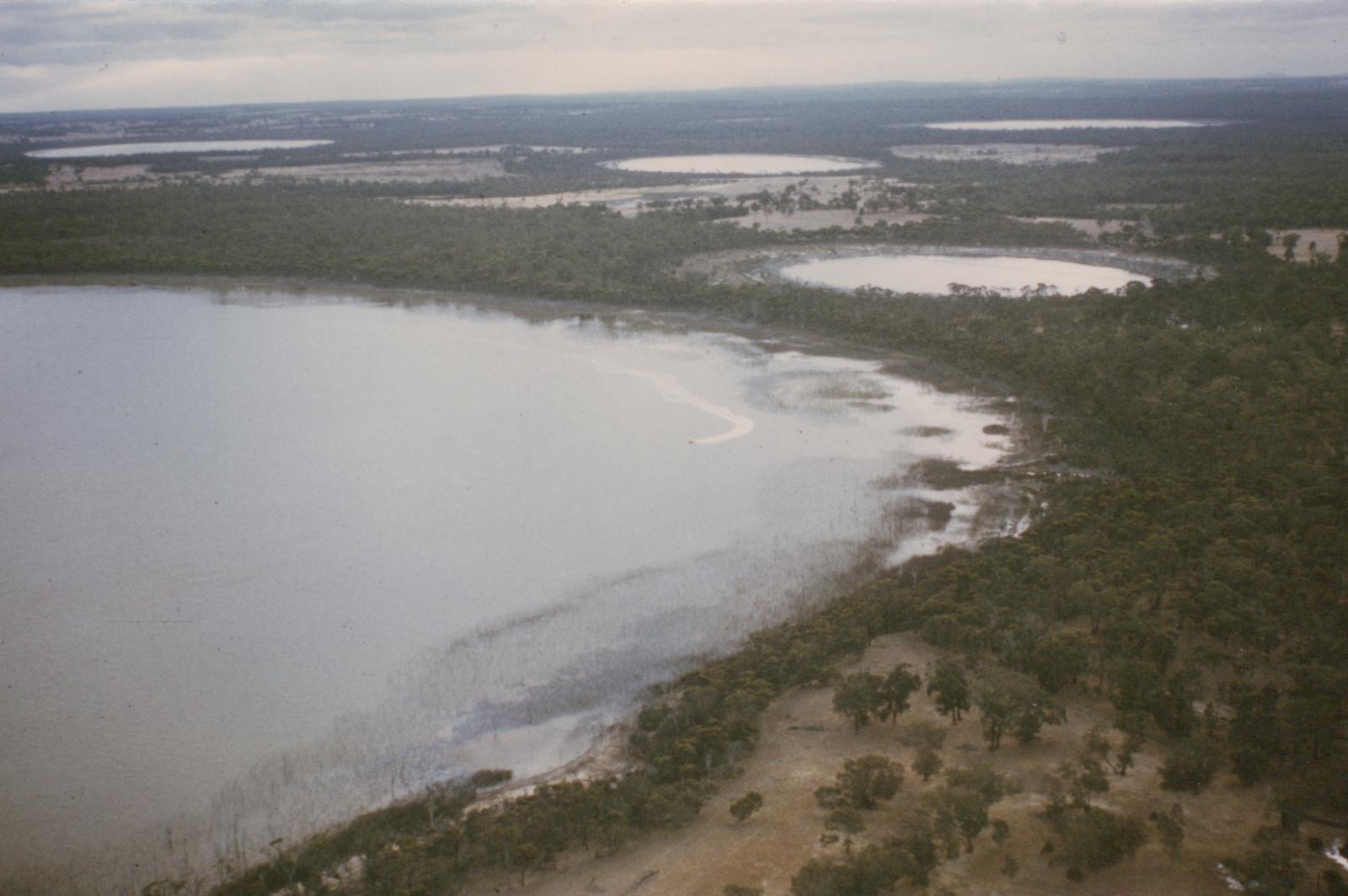
Lake Poorrarecup and surrounding lakes after floods.
Scan this QR code to open this page on your phone ->