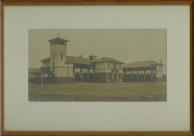
Aerial View Of Bunbury
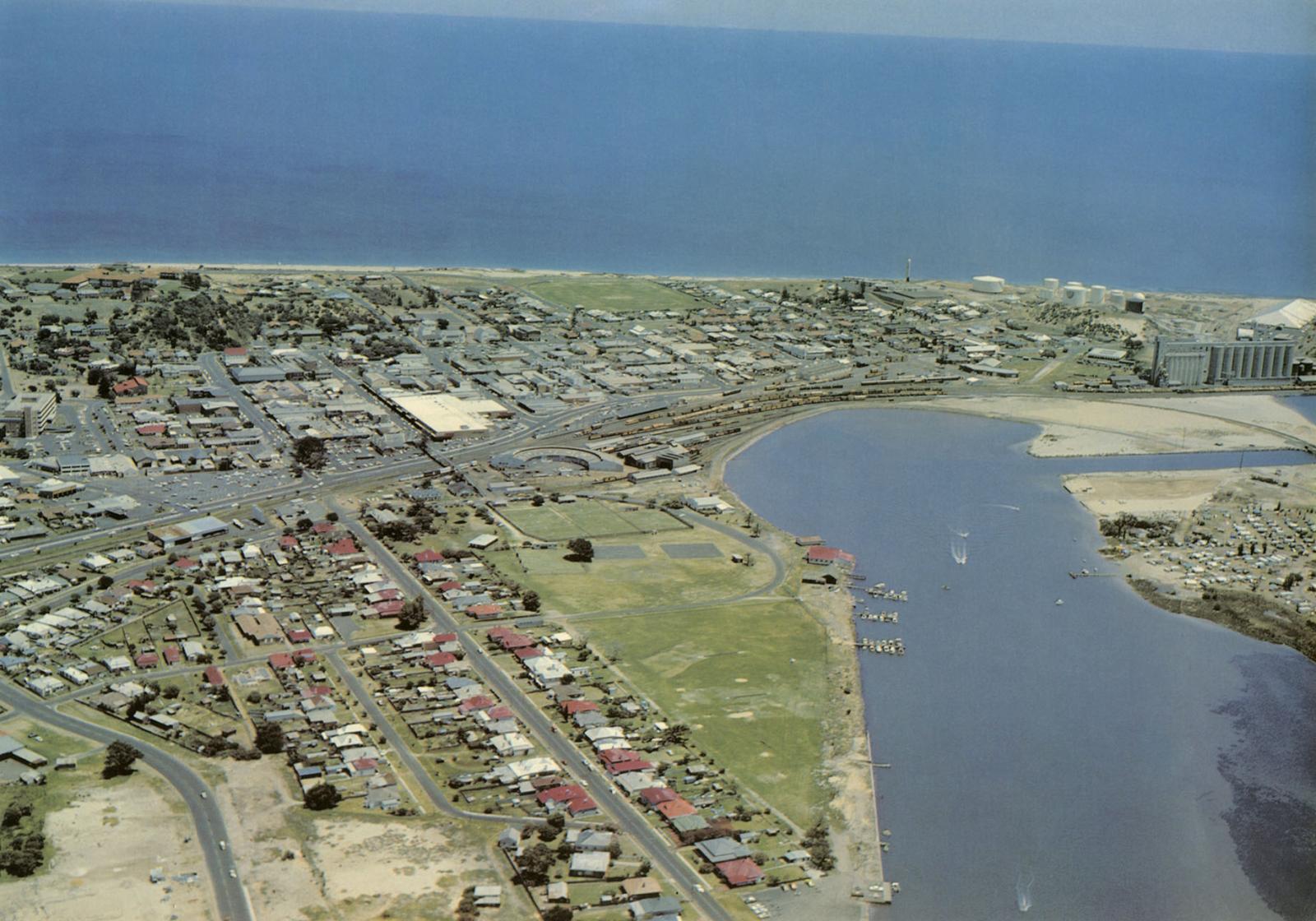
c. 1972Aerial view of Bunbury looking west. On the right is the recently completed Koombana Channel that was created as part of the Bunbury Inner Harbour project.
Lost due to the passing of time:
- The roundhouse
- Train activity in the CBD
- Bunbury Tennis Club in Queens Gardens
In 1968–69, the Preston River downstream of the Australind Road Bridge was realigned to allow for the construction of the Inner Harbour. Work on the Inner Harbour commenced in 1971, cutting off the southernmost part of the Leschenault Estuary. On completion of the Inner Harbour in 1976, a channel was cut at Point MacLeod (The Plug) to allow water circulation to this small body of water and allow the passage of boats to and from Koombana Bay. These modifications have resulted in the renaming of the water bodies - the smaller water body at Point MacLeod is now known as the Leschenault Inlet and the main water body to the north is known as the Leschenault Estuary.
Details
Details
Copyright and Reference
Copyright and Reference
Acknowledgements to be made to 'Bunbury Senior High School 676'.
Other items from Bunbury Senior High School
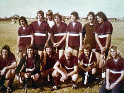
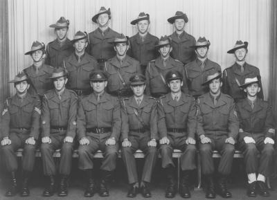
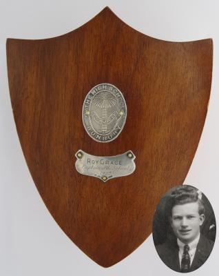
Source: Bunbury Senior High School 676
Scan this QR code to open this page on your phone ->
