The Avon River has always flowed intermittently with most of the water coming down from autumn to spring. One hundred years ago, during the hot and dry summer, the river would dry into a series of pools. In the Toodyay district there were several deep pools and many smaller. The river pools provided a permanent summer refuge and breeding area for waterfowl and aquatic fauna. A century ago, however, clearing native vegetation right up to the river banks for agricultural and building construction purposes was an acceptable part of the European colonisation process.
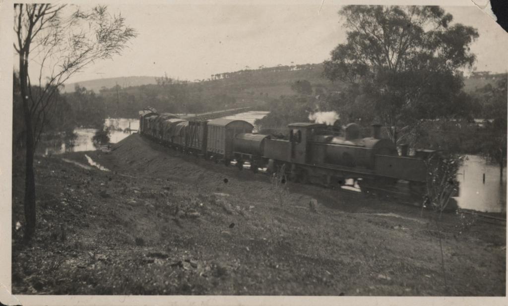
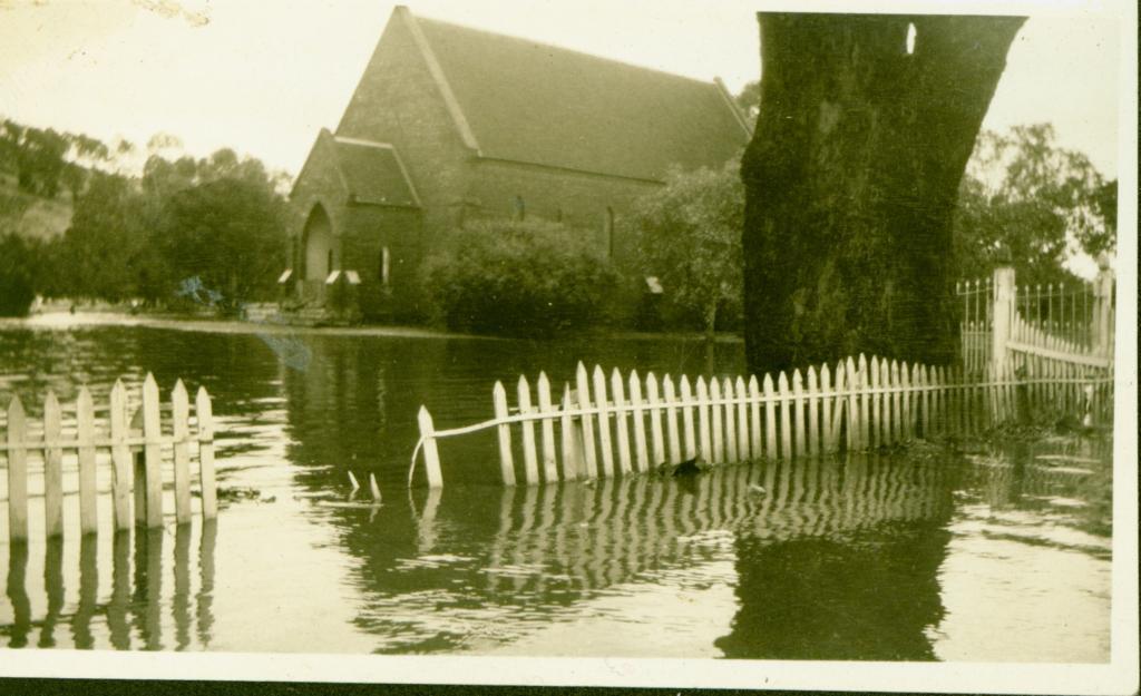
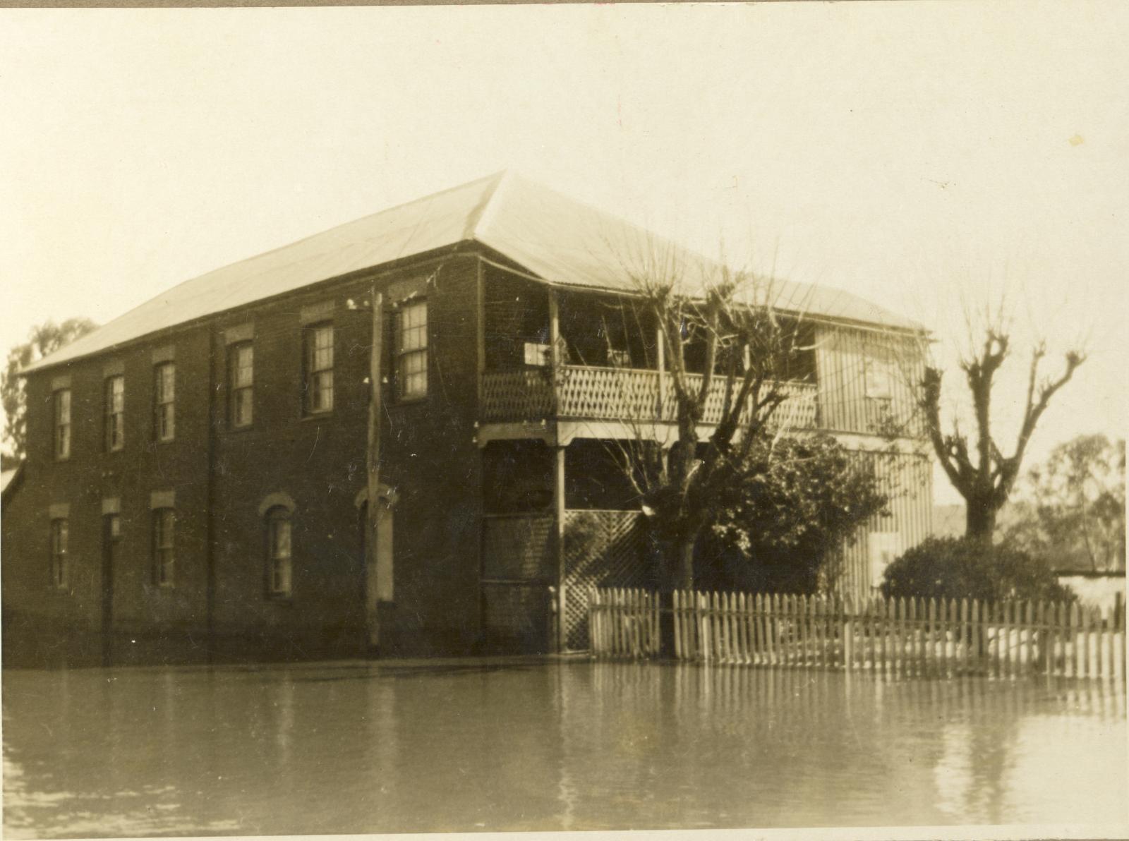
The Toodyay township is located adjacent to the river flood plain. During years of higher river flow, sections of the town regularly became inundated. As Toodyay’s population grew, structures (for roads and railways) were built across the river and the impact of flooding events increased. Floods were recorded at Toodyay throughout the 1920s, 1930s, 1940s and 1950s. There was a concern that the frequency and volume of floods was escalating.
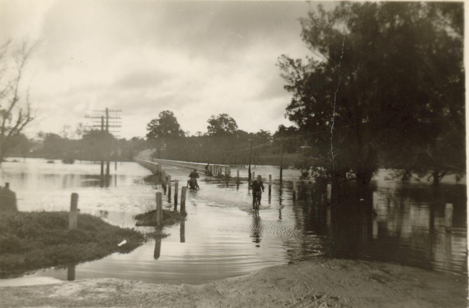
In 1956 the Avon River Training Scheme was initiated to improve the river’s flood discharge capacity by the mechanical removal of sediments and vegetation from the river beds and banks. In some areas ripping of the river bed was also undertaken. In 1963 the Avon River flooded again. At the time it was reported extensive dredging and channel clearing in the Avon River had averted a flood disaster at Toodyay comparable to the 1955 flood, even though the volume of water was greater.
By 1972, however, the Avon River Training Scheme was discontinued due to concerns about the negative environmental impact it was having. The scheme increased the velocity and erosion power of the river, actively encouraging scouring of the river bed. A large body of unstable sand was created in the channel between York and Toodyay. Some once-permanent pools were buried in sand and others partly so. Much of the mature habitat for animal life along the river had been greatly modified and the aquatic habitat was degraded by salt, nutrients and sediments. Since the 1980s, efforts have been made to actively care for the river by introducing river management strategies. The Avon River Management Authority was established in 1993 to work with Local Government Authorities, other government agencies, private landowners and community groups.
The Toodyay Friends of the River group was formed in 1998 to look after and improve the health of the Avon River and to raise awareness of issues facing the River. A notable project completed by this group is the establishment of the Bilya Walk Track along the river bank. The track links Duidgee Park in the Toodyay townsite with Nardie Cemetery, some eight kilometres upstream. A picnic table and other seating has been installed along with appropriate signage. Red Banks Pool on the Bilya track is located about 900m downstream from Extracts Weir and is a registered Aboriginal heritage site. In 2020 interpretative signage was installed at the John Masters Bird Hide explaining how traditional Aboriginal people used this permanent waterhole on Goguljar (the Avon River) near Dudja (Toodyay) as an important cultural site for food and family gatherings.