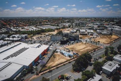
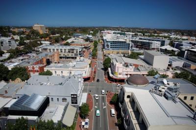
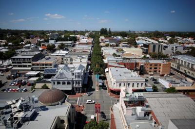
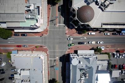
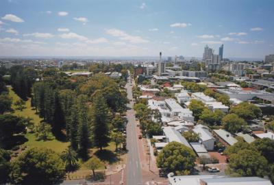
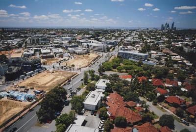
PHOTOGRAPH: AERIAL PHOTOGRAPH LOOKING EAST ALONG THE ROKEBY ROAD HAY STREET INTERSECTION TOWARDS DOMAIN STADIUM
2015An aerial drone photograph taken on the intersection of Rokeby Road and Hay Street. Hay Street runs East in the centre of the photograph. Visible landmarks include the NAB/ Nova building in the left foreground, and the Subiaco Hotel is on the rightr across the road. Subiaco/ Domain Stadium is seen in the top right, while the city skyline can be seen in the background of the image along the top centre right.
Image is part of a wider collection.
The City commissioned the company Altitude Imaging, which specialises in drone photography, to capture still and moving imagery of the City of Subiaco, its streets and many landmarks. The images were used for the Subiaco Museum exhibtion, Subi From the Sky, which launched in November 2015, and ended in late May 2016.
Details
Details
Altitude Imaging
Scientific: A drone was used to take the photograph
Representativeness: Image depicts Subiaco in late 2015
Other items by Altitude Imaging
-
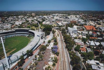
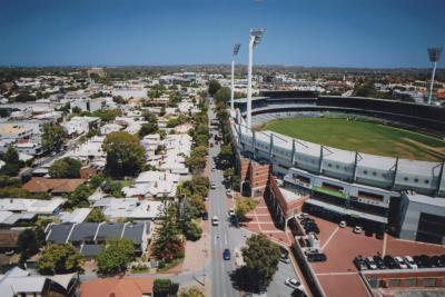
PHOTOGRAPH: AERIAL PHOTOGRAPH OF SUBIACO OVAL, SUBIACO ROAD AND THE RAILWAY
-
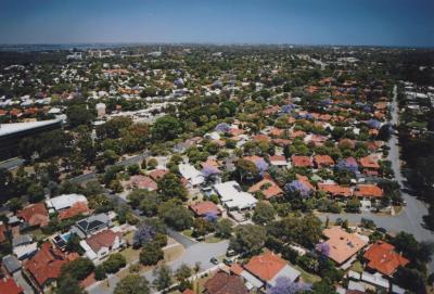
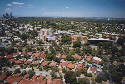
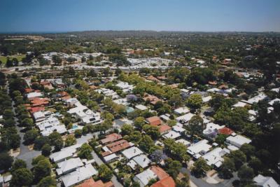
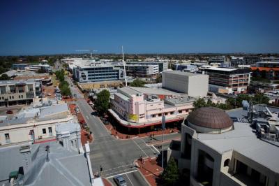
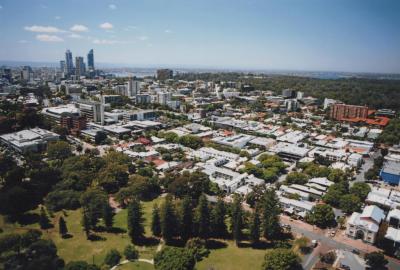
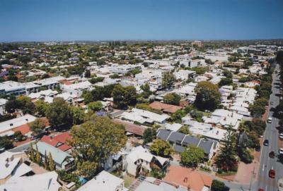
PHOTOGRAPH: AERIAL PHOTOGRAPH SUBIACO SUBURBS
-
PHOTOGRAPH: AERIAL PHOTOGRAPH LOOKING WEST ALONG HAY STREET
-
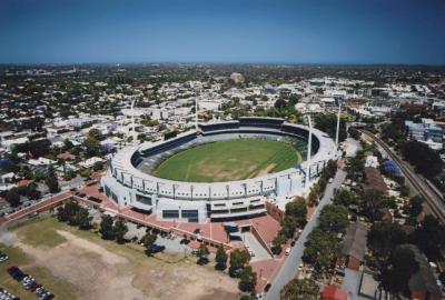
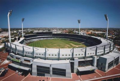
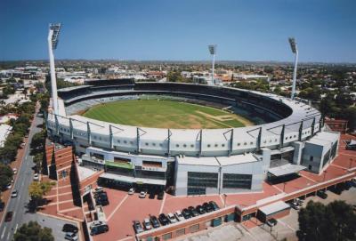
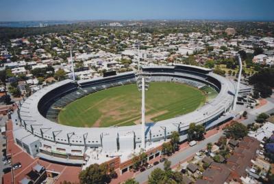
PHOTOGRAPH: AERIAL PHOTOGRAPH OF SUBIACO OVAL
-
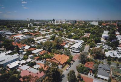
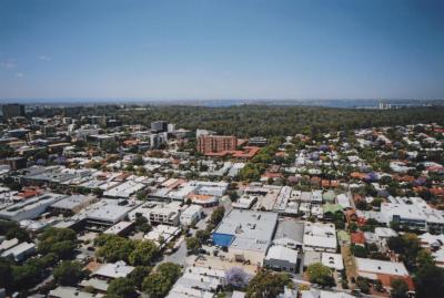
PHOTOGRAPH: AERIAL PHOTOGRAPH SUBIACO SUBURBS
-
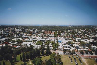
PHOTOGRAPH: AERIAL PHOTOGRAPH SUBIACO
-
PHOTOGRAPH: AERIAL PHOTOGRAPH SUBIACO SUBURBS
-
PHOTOGRAPH: AERIAL PHOTOGRAPH OF ROKEBY ROAD AT THE HAY STREET INTERSECTION
-
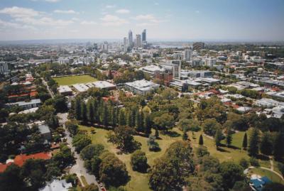
PHOTOGRAPH: AERIAL PHOTOGRAPH OF MUELLER PARK LOOKING SOUTH
-
PHOTOGRAPH: AERIAL PHOTOGRAPH OF SUBIACO OVAL AND ROBERTS ROAD
-
PHOTOGRAPH: AERIAL PHOTOGRAPH OF SUBIACO OVAL, SUBIACO ROAD AND THE RAILWAY
-
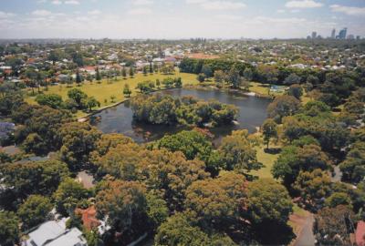
PHOTOGRAPH: AERIAL PHOTOGRAPH OF LAKE JUALBUP AND SHENTON PARK
Other items from Subiaco Museum
-
PHOTOGRAPH: AERIAL PHOTOGRAPH OF THE SUBIACO HOTEL
-
PHOTOGRAPH: AERIAL PHOTOGRAPH OF THE REGAL THEATRE
-
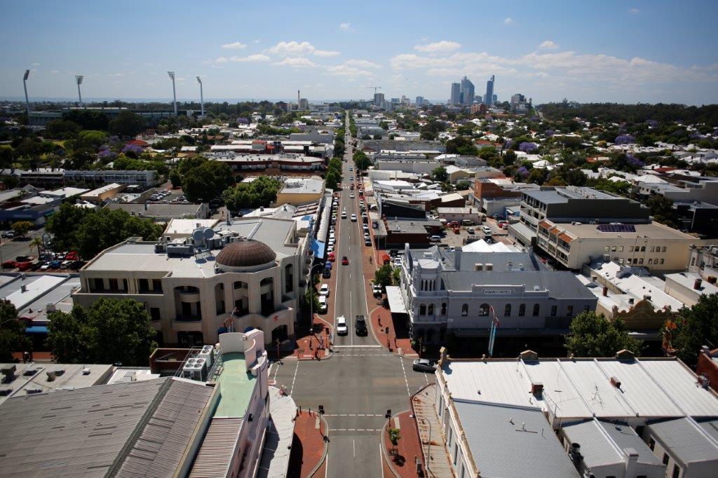
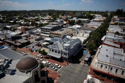
PHOTOGRAPH: AERIAL PHOTOGRAPH OF THE ROKEBY ROAD AND HAY STREET INTERSECTION
-
PHOTOGRAPH: AERIAL PHOTOGRAPH OF SUBIACO OVAL
-
PHOTOGRAPH: AERIAL PHOTOGRAPH OF MUELLER PARK, SUBIACO ROAD AND COGHLAN ROAD
-
PHOTOGRAPH: AERIAL IMAGE OF COGHLAN STREET LOOKING SOUTH TO KINGS PARK AND SWAN RIVER
-
PHOTOGRAPH: AERIAL IMAGE OF ROBERTS ROAD LOOKING EAST
-
PHOTOGRAPH: AERIAL PHOTOGRAPH OF SUBIACO OVAL AND ROBERTS ROAD LOOKING WEST
-
PHOTOGRAPH: AERIAL PHOTOGRAPH OF ROBERTS ROAD, MAY AVENUE AND YORK STREET
-
PHOTOGRAPH: AERIAL PHOTOGRAPH OF MUELLER PARK AND SUBIACO ROAD
-
PHOTOGRAPH: AERIAL PHOTOGRAPH OF JOLIMONT PARK AND HAY STREET
-
PHOTOGRAPH: AERIAL PHOTOGRAPH OF LORDS CREATION CENTRE