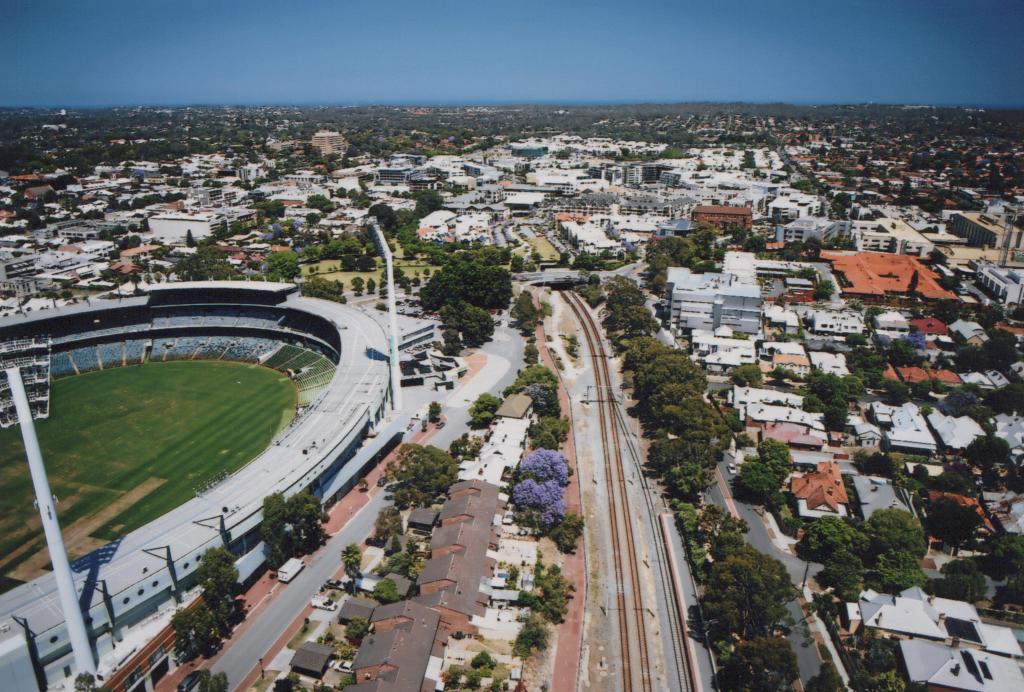
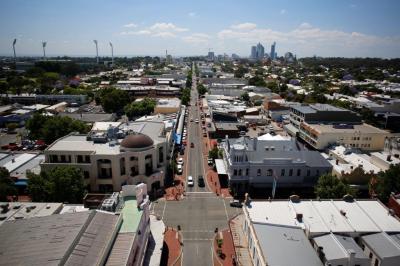
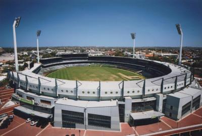
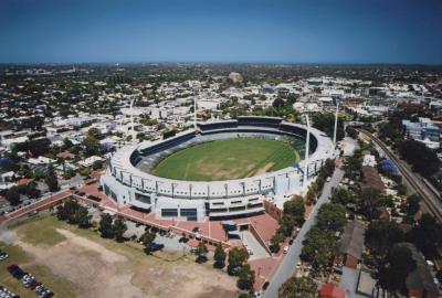
PHOTOGRAPH: AERIAL PHOTOGRAPH OF SUBIACO OVAL, SUBIACO ROAD AND THE RAILWAY
2015The image shows a part of the Subiaco Oval in the lower left corner. To the right of the Oval are are the Subiaco Road, the railway which goes under the Haydn Bunton Drive and through the Subiaco train station, and the Railway Parade. The Haydn Bunton Drive is sandwiched between the Oval and the Market Square Park in the middle of the image.
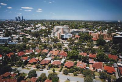
To the left of the intersection where Salvado Road, Railway Parade, and Haydn Bunton Road meet is the greyish four-storey West Leederville Private Hospital, as well as the yellowish St John of God Hospital and the St John of God Villa with extensive orange terracotta roof.
The rest of the image depicts mostly roofs and tree-lined streets. Slightly off centre towards the right side of the image and near the horizon is the barely visible Subiaco Common.
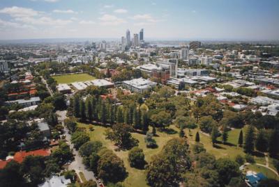
Image is part of a wider collection.
The City commissioned the company Altitude Imaging, which specialises in drone photography, to capture still and moving imagery of the City of Subiaco, its streets and many landmarks. The images were used for the Subiaco Museum exhibition, Subi From the Sky, which launched in November 2015, and ended in late May 2016.
Digital images were printed in 2017 and are now stored with the same accession number.
Details
Details
Altitude Imaging
Scientific: Image taken by a drone Representativeness: Image represents most of Subiaco, from the sky.
Other items by Altitude Imaging
-
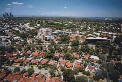
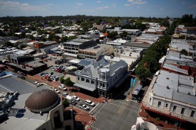
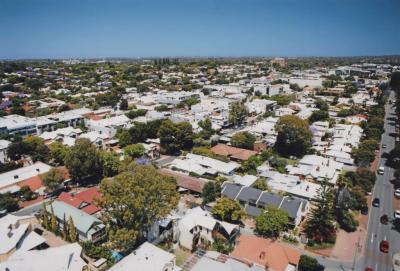
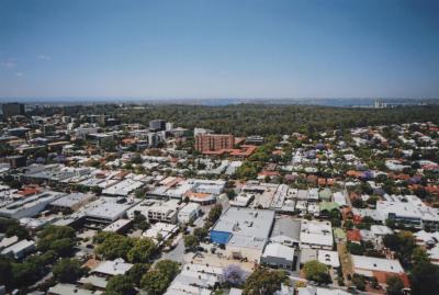
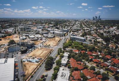
PHOTOGRAPH: AERIAL PHOTOGRAPH SUBIACO SUBURBS
-
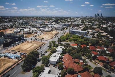
PHOTOGRAPH: AERIAL PHOTOGRAPH OF MUELLER PARK, SUBIACO ROAD AND COGHLAN ROAD
-
PHOTOGRAPH: AERIAL PHOTOGRAPH OF THE SUBIACO HOTEL
-
PHOTOGRAPH: AERIAL PHOTOGRAPH OF JOLIMONT PARK AND HAY STREET
-
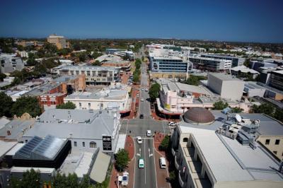
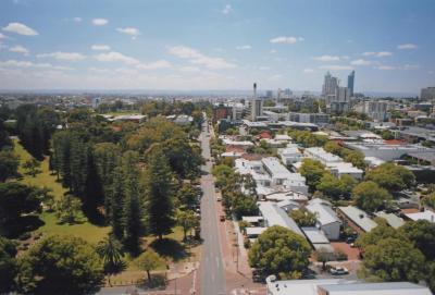
PHOTOGRAPH: AERIAL PHOTOGRAPH LOOKING EAST ALONG THE ROKEBY ROAD HAY STREET INTERSECTION TOWARDS DOMAIN STADIUM
-
PHOTOGRAPH: AERIAL PHOTOGRAPH OF SUBIACO OVAL AND ROBERTS ROAD
-
PHOTOGRAPH: AERIAL PHOTOGRAPH OF ROBERTS ROAD, MAY AVENUE AND YORK STREET
-
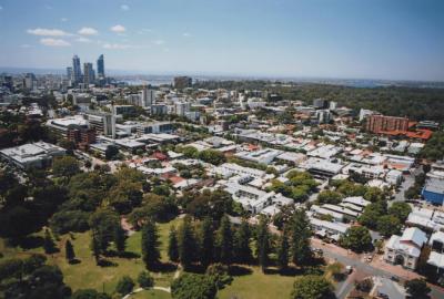
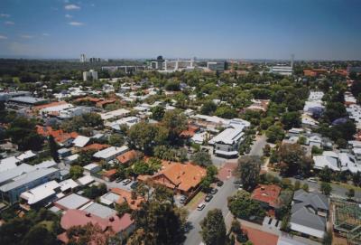
PHOTOGRAPH: AERIAL PHOTOGRAPH SUBIACO
-
PHOTOGRAPH: AERIAL PHOTOGRAPH LOOKING WEST ALONG HAY STREET
-
PHOTOGRAPH: AERIAL PHOTOGRAPH OF MUELLER PARK LOOKING SOUTH
-
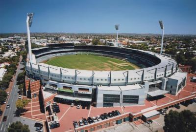
PHOTOGRAPH: AERIAL PHOTOGRAPH OF SUBIACO OVAL
-
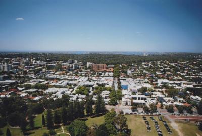
PHOTOGRAPH: AERIAL IMAGE OF COGHLAN STREET LOOKING SOUTH TO KINGS PARK AND SWAN RIVER
Other items from Subiaco Museum
-
PHOTOGRAPH: AERIAL IMAGE OF ROBERTS ROAD LOOKING EAST
-
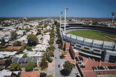
PHOTOGRAPH: AERIAL PHOTOGRAPH OF SUBIACO OVAL AND ROBERTS ROAD LOOKING WEST
-
PHOTOGRAPH: AERIAL PHOTOGRAPH OF SUBIACO OVAL, SUBIACO ROAD AND THE RAILWAY
-
PHOTOGRAPH: AERIAL PHOTOGRAPH OF MUELLER PARK AND SUBIACO ROAD
-
PHOTOGRAPH: AERIAL PHOTOGRAPH OF LORDS CREATION CENTRE
-
PHOTOGRAPH: AERIAL PHOTOGRAPH SUBIACO SUBURBS
-
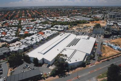
PHOTOGRAPH: AERIAL PHOTOGRAPH SUBI CENTRO INDUSTRIAL DEVELOPMENT
-
PHOTOGRAPH: AERIAL PHOTOGRAPH LORDS
-
PHOTOGRAPH: AERIAL PHOTOGRAPH SUBIACO SUBURBS
-
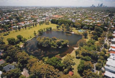
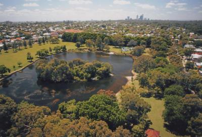
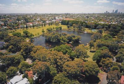
PHOTOGRAPH: AERIAL PHOTOGRAPH OF LAKE JUALBUP AND SHENTON PARK
-
PHOTOGRAPH: AERIAL PHOTOGRAPH OF LAKE JUALBUP AND SHENTON PARK
-
PHOTOGRAPH: AERIAL PHOTOGRAPH OF LAKE JUALBUP AND SHENTON PARK