World War 2, Western Australia, Rottnest island , Coast Artillery Instrumentation, Radio Direction Finder Towers
Of the four visual Fortress Observation Posts, three were selected to have Radio Direction Finding equipment added to the site. These were Bare Hill (“Bare”), Cape Vlamingh (“Flame”) and Tree Hill (“Hill”). There were three components: a Radio Direction Finding Hut; a Coast Artillery No 1 Mk2 (Aust) Radio Direction Finder and a Radio Direction Finding Tower.
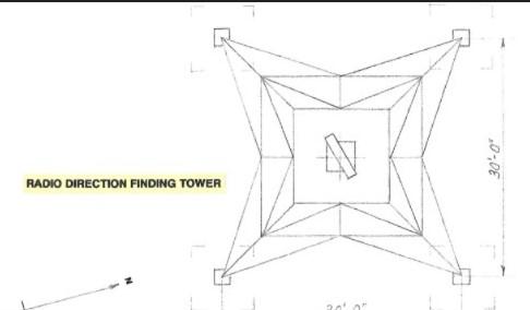
To obtain the required aerial height at each site, it was necessary to erect a 180 foot tower. Each tower was a self supporting steel structure on a base 30 feet square. A platform 12 feet square around the top provided access for maintenance of the Direction Finding unit. A ladder with safety cage and a hand operated lift ran up the side of the tower.
Details
Details
The Direction Finder aerial at Cape Vlamingh rotated through and arc of 360 degrees , while thiose at Bare Hill and Tree Hill covered an arc of 200 degrees.
This entry is based on research, documentation and technical drawings prepared by John Mercer during many years as a leading member of the Rottnest Island Military Restoration Committee and the Defence Heritage Interpretation Plan Group.
Army Museum of Western Australia
Army Museum of Western Australia
Other items from Army Museum of Western Australia
- World War 2, Eastern Mediterranean, North Africa Theatre, Polish Peaked Caps (Rogatywka)
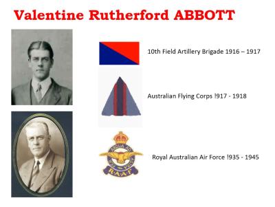
- World War 1, Western Australia, Perth Heritage Week Exhibit, 32561 ABBOTT, 10 Field Artillery Brigade AIF
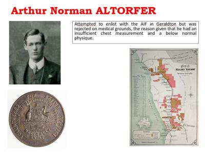
- World War 1, Western Australia, Perth Heritage Week Exhibit, ALTORFER
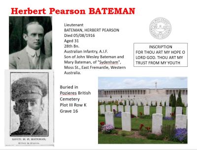
- World War 1, Western Australia, Perth Heritage Week Exhibit, 564 BATEMAN, 28 Battalion AIF
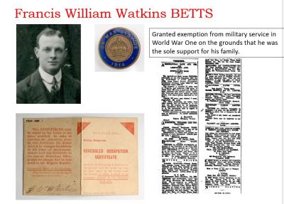
- World War 1, Western Australia, Perth Heritage Week Exhibit, BETTS
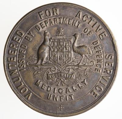
- World War 1, Australia, Volunteered for Active Service Medically Unfit Badge
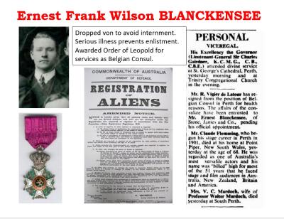
- World War 1, Western Australia, Perth Heritage Week Exhibit, BLANKENSEE
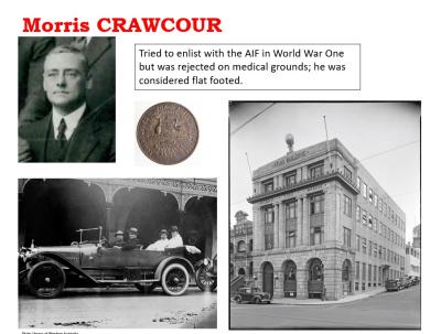
- World War 1, Western Australia, Perth Heritage Week Exhibit, CRAWCOUR
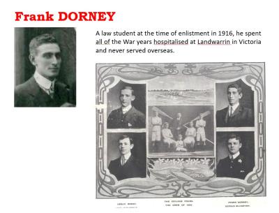
- World War 1, Western Australia, Perth Heritage Week Exhibit, DORNEY
- World War 1, Western Australia, Perth Heritage Week Exhibit, 3526 DURACK. 10 Light Horse, AIF (also W140)
- World War 1, Western Australia, Perth Heritage Week Exhibit, 1804 EWING, 3 Field Artillery Brigade, AIF
- World War 1, Western Australia, Perth Heritage Week Exhibit, GLOWREY, 16 Battalion AIF
