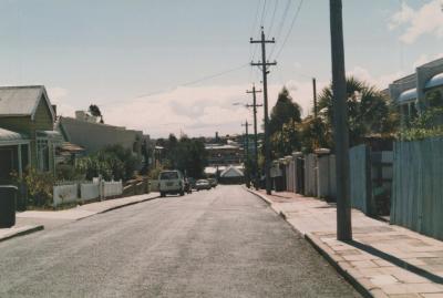
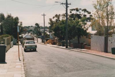
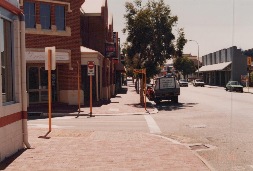
PHOTOGRAPH: 'NEW HAY STREET BRICK PAVING' 1988
1988A coloured photograph of Hay street facing East, taken from the corner of Hay Street and Axon Street. Shopfronts on the left side of the road are clearly depicted. This includes Directions Travel Managers (350 Hay Street) and Hanson Bridge Property Consultants. On the right side of the road the signage for TAB can be seen. In the bottom right corner of the image a faded date stamp reads '12 12 '88'.
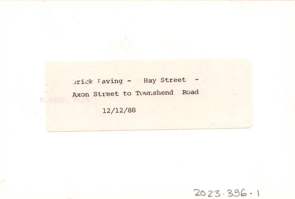
Reverse: A typed label reads 'Brick Paving - Hay Street -, Axon Street to Townshend Road, 12/12/88'.
A photograph of Hay Street.
Details
Details
Open in Google Maps
Nearest geotagged records:
- PHOTOGRAPH: CORNER STORE, HAY STREET AND AXON STREET (0.01km away)
- PHOTOGRAPH: 'AXON STREET STREETSCAPE' 1988 (0.01km away)
- PHOTOGRAPH: 'AXON STREET' 1987 (0.04km away)
- PHOTOGRAPH: VIEW TO AXON PARK AND BRIDGE, SONYA SEARS, 1997 (0.07km away)
- PHOTOGRAPH: AXON PARK, SONYA SEARS, 1997 (0.07km away)
- PHOTOGRAPH: AXON PARK, SONYA SEARS (0.08km away)
- PHOTOGRAPH: 'AXON STREET' 1987 (0.09km away)
- PHOTOGRAPH: 'AXON STREET RE-ALIGNMENT' 1987 (0.09km away)
- PHOTOGRAPH: 'AXON STREET RE-ALIGNMENT' 1987 (0.09km away)
- PHOTOGRAPH: 'YORK STREET POST POWER UNDERGROUNDING' 1988 (0.09km away)
Nearby places: View all geotagged records »
Other items from Subiaco Museum
- PHOTOGRAPH: 'TRAIN LINE UNDERPASS' 1988
- PHOTOGRAPH: 'TRAIN LINE UNDERPASS' 1988
- PHOTOGRAPH: 'JOLIMONT ENDOWMENT LANDS CONSTRUCTION' 1987
- PHOTOGRAPH: 'JOLIMONT ENDOWMENT LANDS CONSTRUCTION' 1987
- PHOTOGRAPH: 'DENIS STREET PRE-POWER UNDERGROUNDING' 1986
- PHOTOGRAPH: 'DENIS STREET PRE-POWER UNDERGROUNDING' 1986
- PHOTOGRAPH: 'DENIS STREET PRE-POWER UNDERGROUNDING' 1986
- PHOTOGRAPH: 'DENIS STREET PRE-POWER UNDERGROUNDING' 1986
- PHOTOGRAPH: 'POWER UNDERGROUNDING ROWLAND/DENIS STREET' 1987
- PHOTOGRAPH: 'POWER UNDERGROUNDING ROWLAND/DENIS STREET' 1987
- PHOTOGRAPH: 'POWER UNDERGROUNDING ROWLAND/DENIS STREET' 1987
- PHOTOGRAPH: 'POWER UNDERGROUNDING ROWLAND/DENIS STREET' 1987
