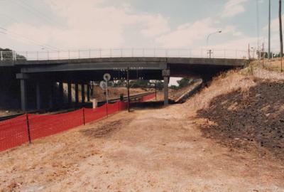
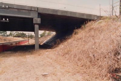
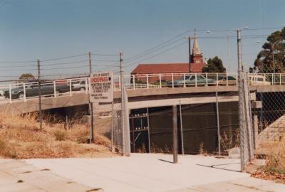
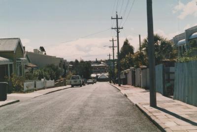
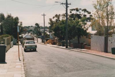
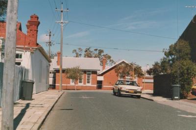
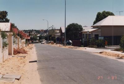
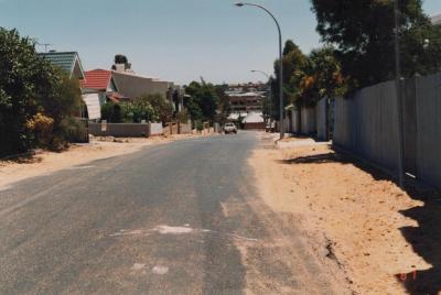
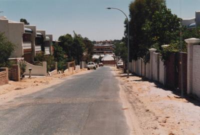
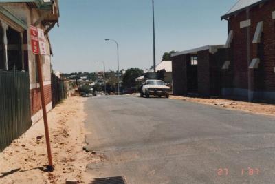
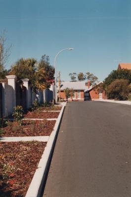
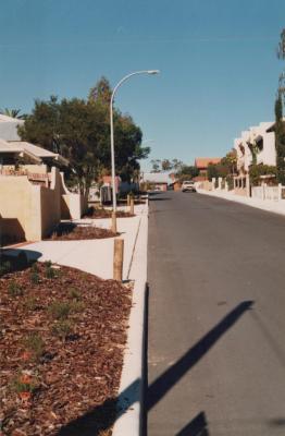
PHOTOGRAPH: 'TRAIN LINE UNDERPASS' 1988
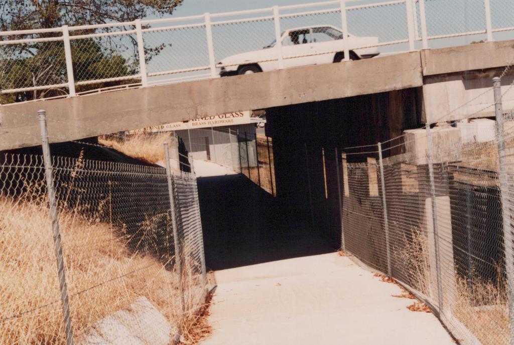
1988A coloured photograph of the West Leederville station underpass, taken from near Haydn Bunton Drive. The left side of the underpass is depicted in this image. It is a paved walkway with metal mesh fencing on either side. The bridge part of the underpass can also be seen. There is a white car driving on this bridge.
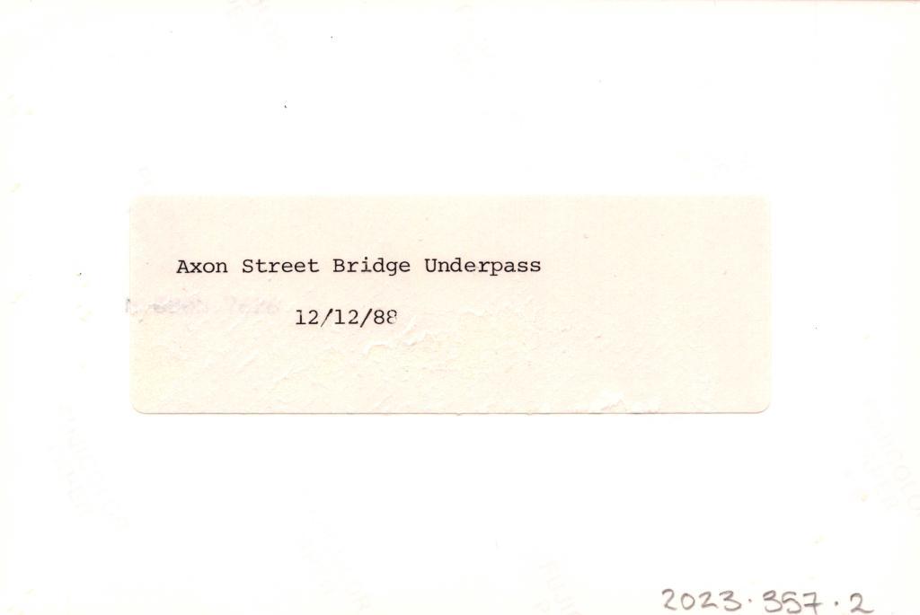
Reverse: A typed label reads 'Axon Street Bridge Underpass, 12/12/88'.
A photograph of the train line underpass near Haydn Bunton Drive.
Details
Details
Open in Google Maps
Nearest geotagged records:
- PHOTOGRAPH: 'TRAIN LINE UNDERPASS' 1988 (0km away)
- PHOTOGRAPH: 'AXON STREET UNDERPASS' 1988 (0.03km away)
- PHOTOGRAPH: 'AXON STREET UNDERPASS' 1988 (0.03km away)
- PHOTOGRAPH: 'ROBERTS ROAD NEAR AXON STREET' 1987 (0.04km away)
- PAINTING: 'STRANRAER', JOHN CAMPBELL (0.19km away)
- PHOTOGRAPH: VIEW TO ST JOSEPH'S CHURCH, SONYA SEARS, 1997 (0.2km away)
- PHOTOGRAPH: STEPS AT ST JOSEPH'S, SONYA SEARS, 1997 (0.2km away)
- PHOTOGRAPH: 'ROBERTS ROAD NEAR AXON STREET' 1987 (0.2km away)
- PHOTOGRAPH: 'AXON STREET RE-ALIGNMENT' 1987 (0.21km away)
- PHOTOGRAPH: 'AXON STREET RE-ALIGNMENT' 1987 (0.21km away)
Nearby places: View all geotagged records »
More items like this
Other items from Subiaco Museum
- PHOTOGRAPH: 'JOLIMONT ENDOWMENT LANDS CONSTRUCTION' 1987
- PHOTOGRAPH: 'JOLIMONT ENDOWMENT LANDS CONSTRUCTION' 1987
- PHOTOGRAPH: 'DENIS STREET PRE-POWER UNDERGROUNDING' 1986
- PHOTOGRAPH: 'DENIS STREET PRE-POWER UNDERGROUNDING' 1986
- PHOTOGRAPH: 'DENIS STREET PRE-POWER UNDERGROUNDING' 1986
- PHOTOGRAPH: 'DENIS STREET PRE-POWER UNDERGROUNDING' 1986
- PHOTOGRAPH: 'POWER UNDERGROUNDING ROWLAND/DENIS STREET' 1987
- PHOTOGRAPH: 'POWER UNDERGROUNDING ROWLAND/DENIS STREET' 1987
- PHOTOGRAPH: 'POWER UNDERGROUNDING ROWLAND/DENIS STREET' 1987
- PHOTOGRAPH: 'POWER UNDERGROUNDING ROWLAND/DENIS STREET' 1987
- PHOTOGRAPH: 'ROWLAND/DENIS STREET POST-POWER UNDERGROUNDING' 1987
- PHOTOGRAPH: 'ROWLAND/DENIS STREET POST-POWER UNDERGROUNDING' 1987
