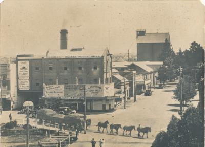
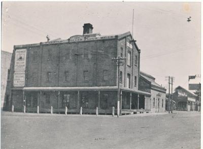
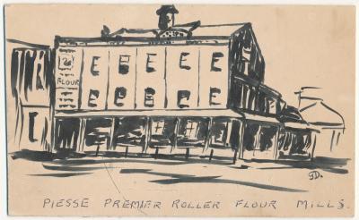
Katanning Flour Mill
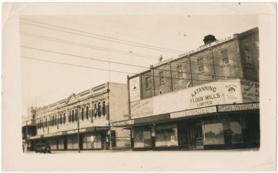
2008A two page document which has copies of photographs taken of the intersection of Clive Street and Austral Terrace and the Katanning Flour Mill in the background. The first page also shows the construction of the roundabout and new paving in front of the flour mill, whilst the second page shows the completion of the paving.
Details
Details
On the side of one of the pages handwritten in blue ink is "August 2008".
Open in Google Maps
Nearest geotagged records:
- Katanning Flour Mill (0km away)
- Katanning Flour Mill (0km away)
- Opening of the Katanning Flour Mill (0km away)
- Katanning Flour Mill (0km away)
- Katanning Flour Mill (0km away)
- Katanning Flour Mill (0km away)
- Katanning Flour Mill (0km away)
- Katanning Flour Mill (0km away)
- Katanning Flour Mill (0km away)
- World War 2, Western Australia, Rottnest Island AIF Enlistment, W39967 to WX31192 BROWN, 1942 (0.06km away)
Nearby places: View all geotagged records »
Copyright and Reference
Copyright and Reference
Courtesy of Katanning Historical Society.
Scan this QR code to open this page on your phone ->

