

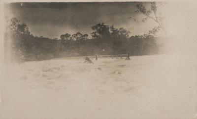
FLOODS OVER BRIDGE, TOODYAY
1925 - 1955Faded black and white photo of extensive flooding, probably the Avon River of which only the top railing and supports of the bridge crossing can be seen.
Large trees surround the area and what appears to be a drum is floating central to the photo.
This photo has previously been identified as the Newcastle Bridge, Toodyay, but this bridge appears to be in a different locality: it is too narrow and the valley sides are steep and thickly wooded with no buildings visible in the background.
Throughout the 20th century, Toodyay experienced a series of severe floods caused by the Avon River and Toodyay Brook. While the townsite had already been relocated further upstream in 1860 to escape the intense flooding of the 19th century, the 1900s still brought multiple major inundations that disrupted infrastructure, submerged bridges, and forced residents to evacuate. Major flood events occurred in the 1920s, 1930,1934,1936, 1945 and 1952-58.
Details
Details
A copy of this photo is also held in the Shire of Toodyay collection as 2001.1461
Other items from Shire of Toodyay
-
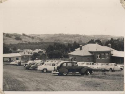
TOODYAY SHIRE OFFICE - COURTHOUSE
-
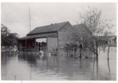
HOUSE IN HENRY STREET, TOODYAY, SURROUNDED BY FLOOD WATERS
-
SPILLWAY ON HENRY STREET
-
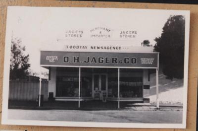
JAGER'S STORE STIRLING TERRACE TOODYAY
-
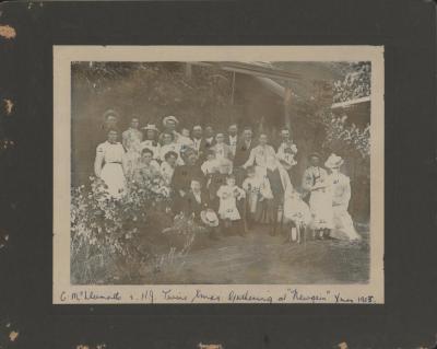
CHRISTMAS PARTY AT "NEWGAIN", TOODYAY
-
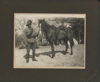
SOLDIER OF 10TH LIGHT HORSE
-
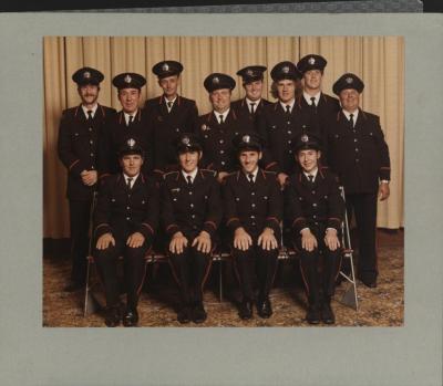
TOODYAY FIRE BRIGADE COMPETITION WINNERS
-
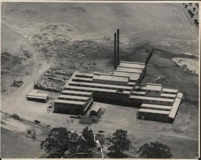
INDUSTRIAL EXTRACTS FACTORY, AERIAL VIEW
-
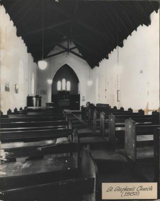
ST STEPHENS CHURCH. TOODYAY - INTERIOR
-
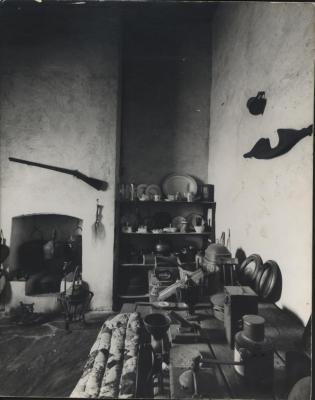
GAOL WARDERS KITCHEN - NEWCASTLE GAOL
-
ST STEPHENS CHURCH, TOODYAY

-
SONS OF HENRY JAMES & SARAH HANNAH TWINE AT NEWGAIN


