PHOTOGRAPH: 'BRICK PAVING, RUPERT PLACE', 1981
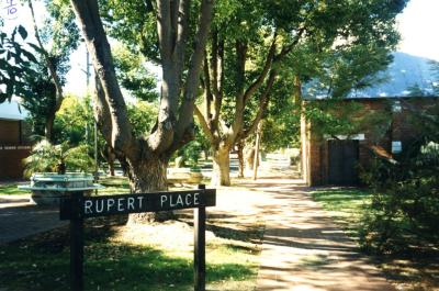
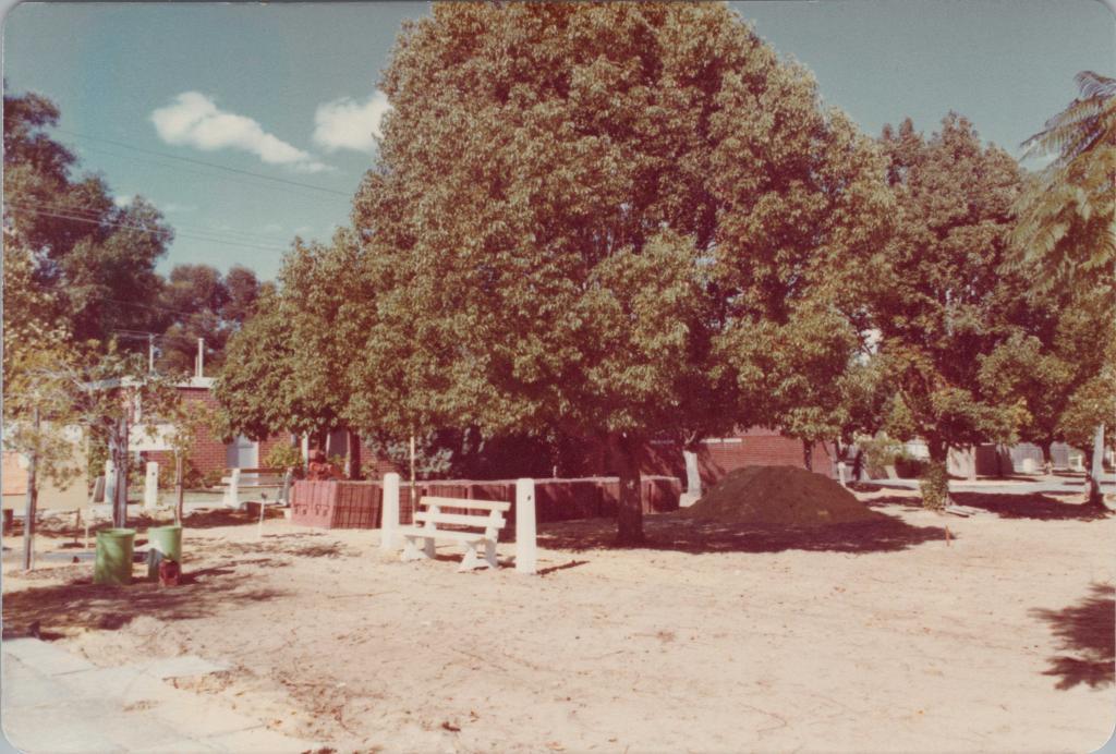
1981A colour photograph of brick paving being constructed at Rupert Place. The photo shows a large expnase of sand in the foreground, with a large pile of sand and newly planted trees in the mid ground. There is a red brick building, now the Subiaco Community Centre (203 Bagot Road), mostly hidden behind a large tree, in the background.
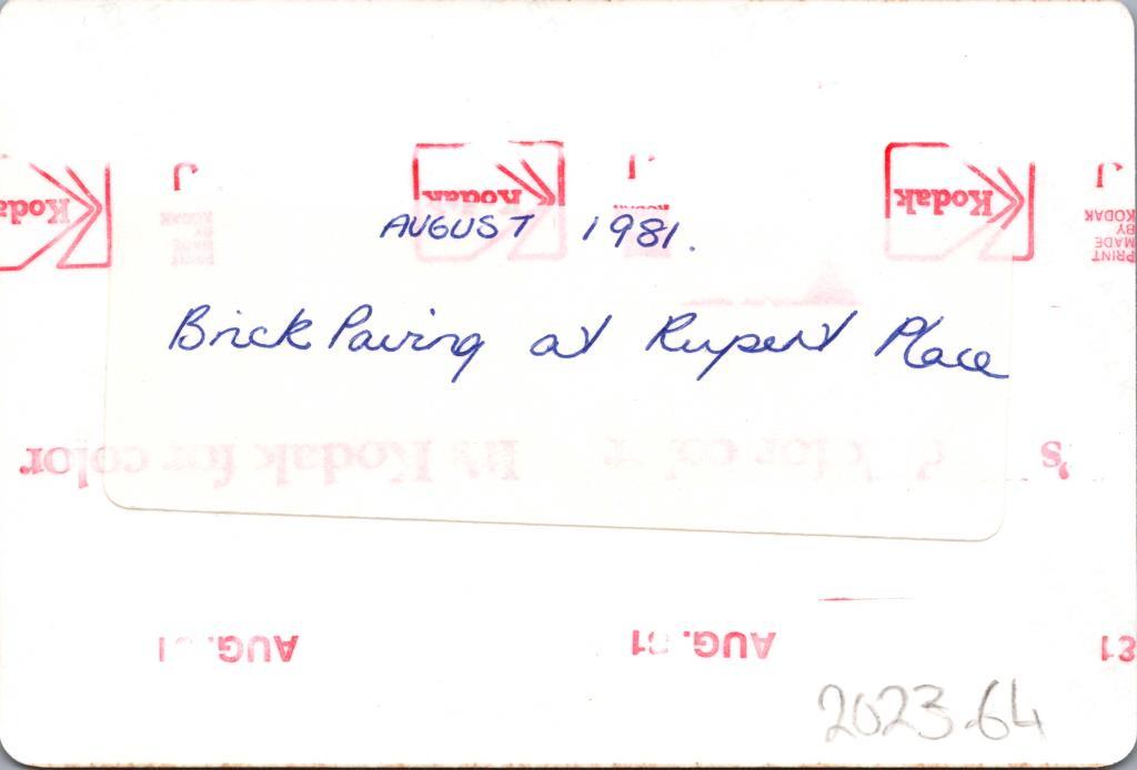
A sticky label on the reverse reads 'August 1981, Brick paving at Rupert Place'.
August 1981
Details
Details
The photograph is significant for capturing a particular moment in the history of Rupert Place in the 1980s.
Open in Google Maps
Nearest geotagged records:
- World War 1, Australia, Western Australia, Subiaco, 736 NELSON, 10 Light Horse (0.07km away)
- World War 2, Western Australia, Rottnest Island Enlistments, W49542 to WX31215 BAIRD, 1942 (0.09km away)
- PHOTOGRAPH: MR ABRAHAMS, MAYOR OF SUBIACO, GREETING SHIRLEY STRICKLAND (0.14km away)
- PHOTOGRAPH: 'ROKEBY ROAD, HAMERSLEY ROAD TO BAGOT ROAD' 1989 (0.14km away)
- PHOTOGRAPH: 'ROKEBY ROAD UPGRADING' 1989 (0.14km away)
- PHOTOGRAPH: 'ROKEBY ROAD UPGRADING' 1989 (0.14km away)
- PHOTOGRAPH: 'ROKEBY ROAD UPGRADING' 1989 (0.15km away)
- PHOTOGRAPH: 'ROKEBY ROAD UPGRADING' 1989 (0.15km away)
- PHOTOGRAPH: HOUSE AT 6 ROBINSON STREET, SUBIACO (0.15km away)
- PHOTOGRAPH (COPY): SUBIACO POST OFFICE (0.16km away)
Nearby places: View all geotagged records »
More items like this
Other items from Subiaco Museum
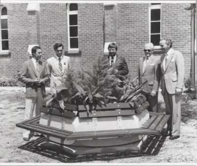
- PHOTOGRAPH: 'RUPERT PLACE NAMING
- PHOTOGRAPH: 'RUPERT PLACE NAMING', 1981
- PHOTOGRAPH: 'RUPERT PLACE NAMING', 1981
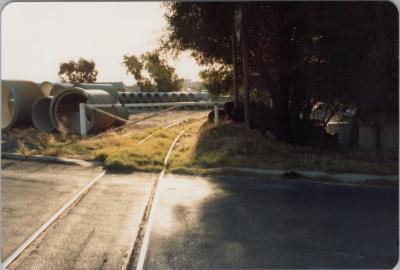
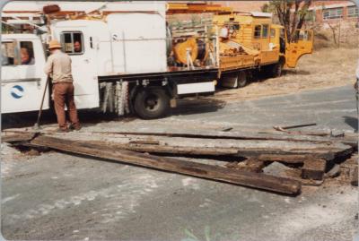
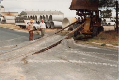
- PHOTOGRAPH: REMOVAL OF RAILWAY LINE ENDOWMENT LANDS, MAY 1983
- PHOTOGRAPH: REMOVAL OF RAILWAY LINE ENDOWMENT LANDS, MAY 1983
- PHOTOGRAPH: REMOVAL OF RAILWAY LINE ENDOWMENT LANDS, MAY 1983
- PHOTOGRAPH: REMOVAL OF RAILWAY LINE ENDOWMENT LANDS, MAY 1983
- PHOTOGRAPH: 'CIVIC RECEPTION FOR ARCHBISHOP FOLEY', 1984
- PHOTOGRAPH: 'CIVIC RECEPTION FOR ARCHBISHOP FOLEY', 1984
- PHOTOGRAPH: 'CIVIC RECEPTION FOR ARCHBISHOP FOLEY', 1984
- PHOTOGRAPH: 'CIVIC RECEPTION FOR ARCHBISHOP FOLEY', 1984
- PHOTOGRAPH: 'CIVIC RECEPTION FOR ARCHBISHOP FOLEY', 1984
