Albany Historical Society Inc > Records
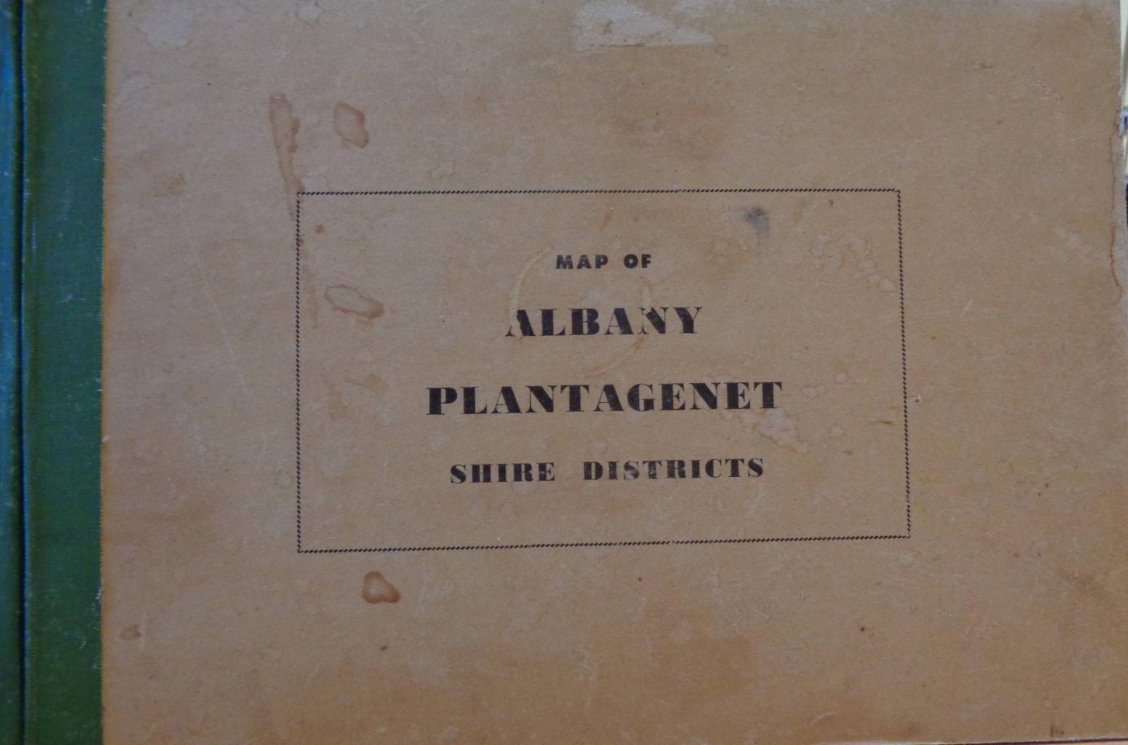
MAP BOOK OF ALBANY PLANTAGENET SHIRE DISTRICTS
Overview
This is a large perfect-bound beige book with black lettering, a green tape-bound spine, and hardboard covers. The book contains inch-to-mile map sheets of the original Albany Shire and Plantagenet Shire Districts. There is a partial index of properties for the Albany Shire only, listed by Shire of Albany Ward and then by owner's name alphabetically. 61 pages maps, pages I - iv index of wards, Loc. No. + owners. Printed by the Albany Advertiser 1932. 2 copies, (a) & (b) Copy (b ) has - Inside front cover is written ' J. Caddy P.O. Box 1002 ALBANY' .
Details
Details
Registration number
cwa-org-51-B2009.65a>b
Item type
Books
Statement of significance
Local area maps of districts surrounding Albany.
Last modified
Thursday, 24 April, 2025
Other items from Albany Historical Society Inc
-
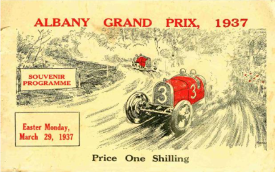
(THE) ALBANY GRAND PRIX 1937
-
HISTORY OF THE ALBANY BAND 1880-1996 ALBANY SILVER BAND
-
THE SAILING SHIP SIMON TAYLOR - A VOYAGE OF SIGNIFICANCE

-
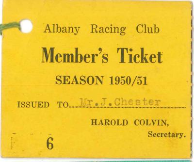
ALBANY RACING CLUB MEMBERSHIP TICKETS
-
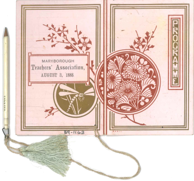
BALL PROGRAMME 1888
-
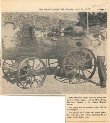
NEWS PAPER CLIPPING MILLARS BOILER
-
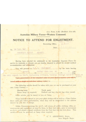
ENLISTMENT NOTICE
-
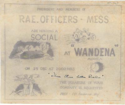
INVITATION TO SERVICE SOCIAL
-
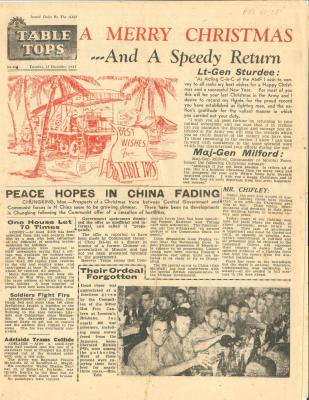
AMF NEWS LETTER, TABLE TOPS DEC 1945
-
BRITISH SAILORS SOCIETY ANNUAL REPORT
Book Cover
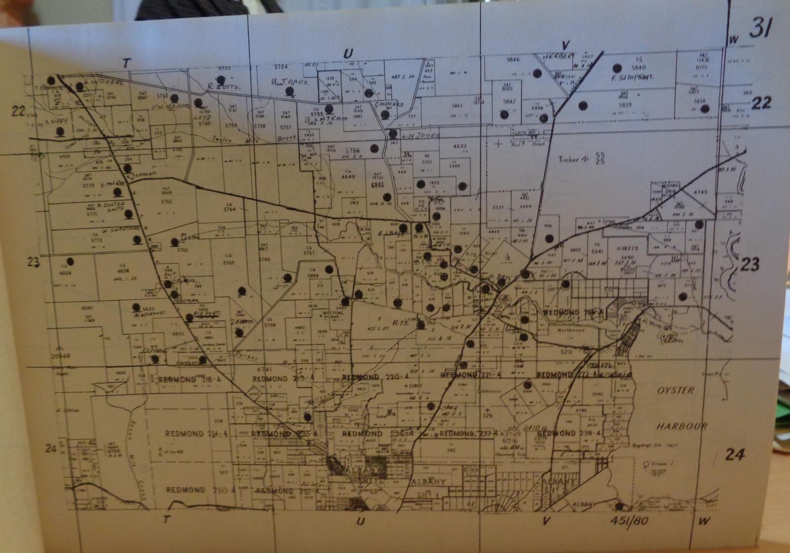
Ten by fifteen mile map sheet for Napier Ward, Shire of Albany
Scan this QR code to open this page on your phone ->