Cranbrook Public Library > Records
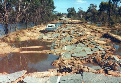
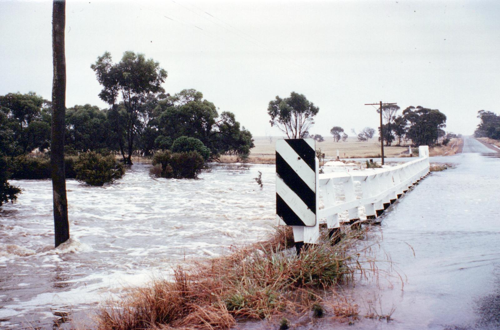
Floodwaters at Intersection of Frankland-Cranbrook Road (East)
Subcollections
Overview
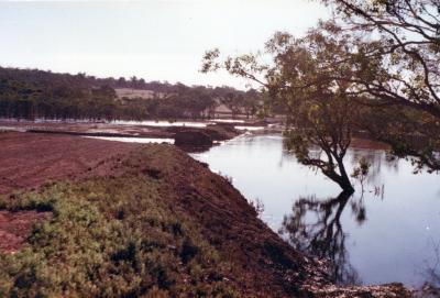
Floodwaters at Intersection of Frankland-Cranbrook Road (East).
(Near Albany Highway-Cranbrook North Intersection)
Details
Details
Registration number
cwa-org-130-Floods 1982 Shire Of Cranbrook Photo 45
Item type
Photographs
Material
Photographic Media
Last modified
Thursday, 18 February, 2021
Completeness
Other items from Cranbrook Public Library
-
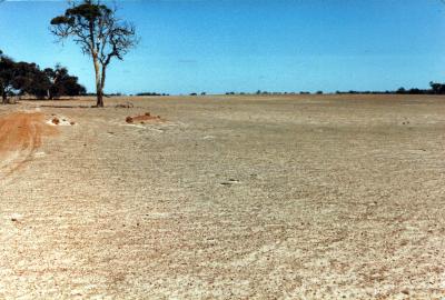
Rockwell Farm effected by drought , a year after the 1982 floods.
-
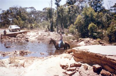
Shamrock Road near Keith Prossers' property.
-
The Frankland River
-
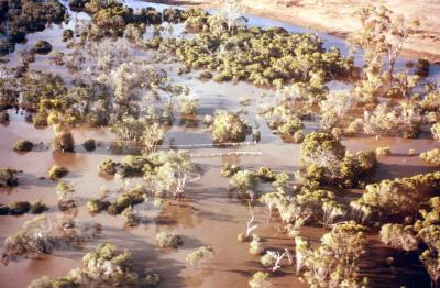
Towerlup Brook in full flood.
-
Vehicle stranded on the Gordon Bridge, Albany Highway.
-
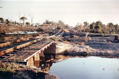
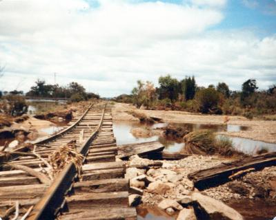
Washed out railway line near Wansborough Siding.
-
Washed out railway line near Wansborough Siding.
-
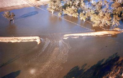
Boyacup Bridge. Another View Of The Breach To Northern Causeway
-
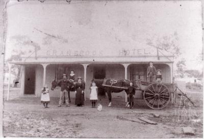
Cranbrook Hotel 1889
-
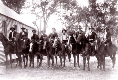
Frankland Hall, 1913
-
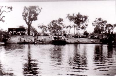
Gordon River Picnic Day circa 1930
-
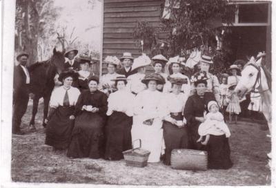
Tenterden Hall, circa 1909
Floodwaters at Intersection of Frankland-Cranbrook Road (East).
Scan this QR code to open this page on your phone ->