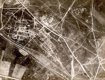
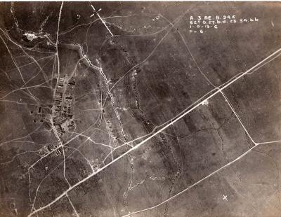
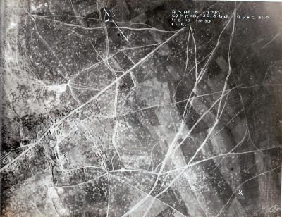
World War 1, Europe Jeancourt,
1918Overview
Aerial view of Jerncourt
Details
Details
Registration number
cwa-org-32-P1900.339
Item type
Photographs
Material
Photographic Media
Year
Geotag
49.935474023264, 3.1479491931182
Open in Google Maps
Nearest geotagged records: View all geotagged records »
Open in Google Maps
Nearest geotagged records: View all geotagged records »
Last modified
Saturday, 6 June, 2026
Completeness
Australian Army Museum of Western Australia
Australian Army Museum of Western Australia
Other items from Australian Army Museum of Western Australia
-
World War 1, Middle East, 10 Australian Light Horse, 1918
-
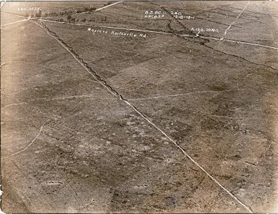
World War 1, Europe, France, Western Front, Rosiers, Herleville Road,
-
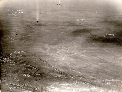
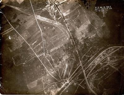
World War 1, Europe, France, Western Front, St Quentin Canal, Bellicourt,
-
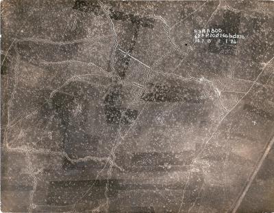
World War 1, Europe, 1918
-
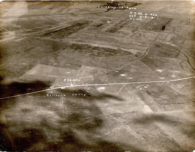
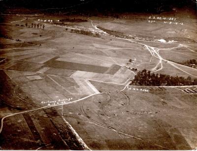
World War 1, Europe Bellevue Valley,
-
World War 1, Europe, 1918
-
World War 1, Europe, France, Western Front, St Quentin Canal, Bellicourt,
-
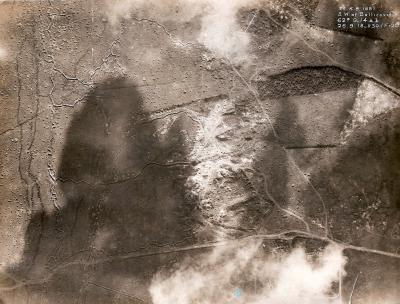
World War 1, Europe, Western Front, 1918
-
World War 1, Europe, 1918
-
World War 1, Europe, 1918
-
World War 1, Europe, 1918
-
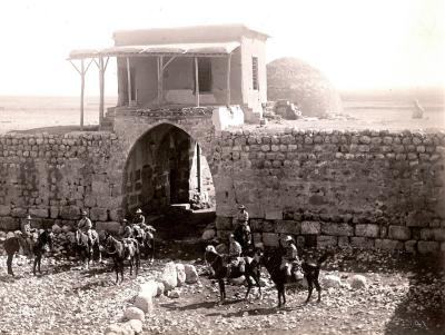
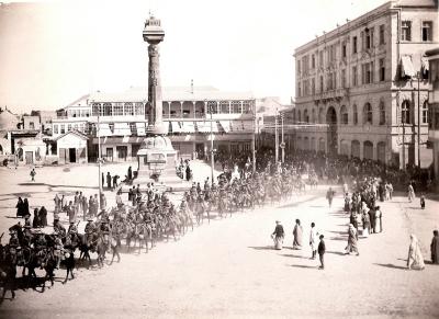
World War 1, Middle East, Damascus, 10 Australian Light Horse, 1918
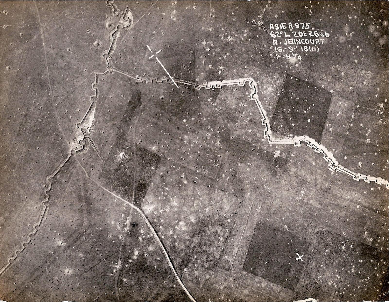
This image is an aerial photograph showing a battlefield from World War I. The main focus is a trench system, which winds across the landscape. Craters from artillery bombardment are scattered throughout the image, giving evidence of heavy shelling. The trenches have a zig-zag pattern typical of trench warfare to prevent enfilade fire. There is some text in the upper right corner of the image providing coordinates and other information: "A3 FEA 975 62 L 202 666 N. JEANCOURT 16-9-18". It seems to be a reconnaissance photo taken on September 16, 1918, near Jeancourt, France.
Scan this QR code to open this page on your phone ->