
Town of Claremont Museum > Records
Infilling Butler's Swamp To Form Lake Claremont
Overview
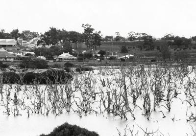
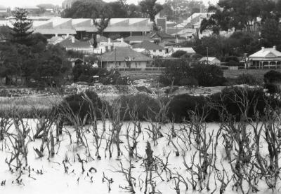
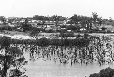
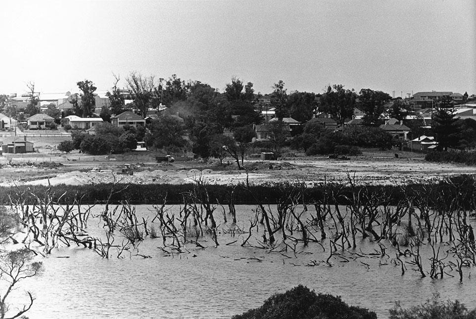
Looking east across water, reeds and sand fill, where there are two trucks and a bulldozer, to houses of Davies Road, Claremont. On left is the rear of Jack Williams's house and paddocks. The background is foreshortened and in top left is the facade and iron building of the Centenary Building in the Claremont Showgrounds.
Details
Details
Registration number
cwa-org-28--98-129
Item type
Photographs
Themes
Material
Photographic Paper
Geotag
-31.973430904757, 115.77713751719
Open in Google Maps
Nearest geotagged records:
Nearby places: View all geotagged records »
Open in Google Maps
Nearest geotagged records:
- Butler's Swamp Claremont (0km away)
- Canoes On Butler's Swamp (0km away)
- Gugeri Family, Butler's Swamp (0km away)
- Butler's Swamp (0km away)
- Butler's Swamp (0km away)
- Smith Brothers' Property Butler's Swamp (0km away)
- House Ruin At Butler's Swamp (0km away)
- Butler's Swamp From Alfred Road (0km away)
- Butler's Swamp During Conversion To Lake Claremont (0km away)
- Looking South Across Butler's Swamp (0km away)
Nearby places: View all geotagged records »
Links to additional resources
Claremont Museum. [www.claremont.wa.gov.au]
Last modified
Wednesday, 6 November, 2024
Completeness
Copyright and Reference
Copyright and Reference
Rights category
Life of creator +70 years
Attribution requirements
Acknowledgements to be made to 'Claremont Museum 98.129'.
Rights holder
Claremont Museum, Town of Claremont, Western Australia, 6010
More items like this
Other items from Town of Claremont Museum
-
Creating A Lake And Golf Course From Butler's Swamp
-
Butler's Swamp From Alfred Road During Infill
-
View Across Butler's Swamp To Christchurch Showing Stirling Road
-
View Across Butler's Swamp To Elliot Road And Claremont Oval
-
Butler's Swamp And Elliott Road During Infill
-
Butler's Swamp From Alfred Road Before Infill
-
Mount Claremont From Butler's Swamp
-
Aerial View Of Butler's Swamp In Flood
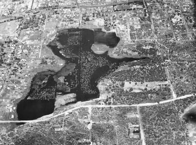
-
Butler's Swamp East Towards Elliott Road
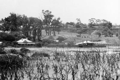
-
Butler's Swamp East Towards Elliott Road
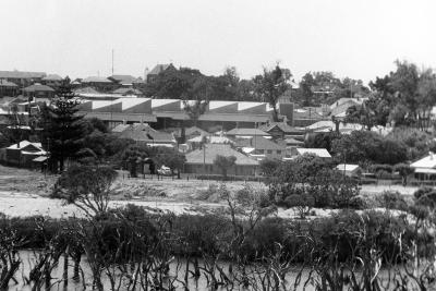
-
Butler's Swamp East Towards Elliott Road
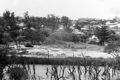
-
Butler's Swamp East Towards Elliott Road
Infilling Butler's Swamp To Form Lake Claremont
Source: Claremont Museum 98.129
Source: Claremont Museum 98.129
Scan this QR code to open this page on your phone ->