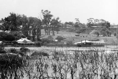
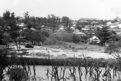
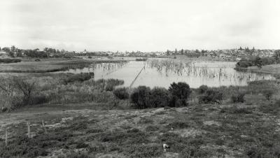
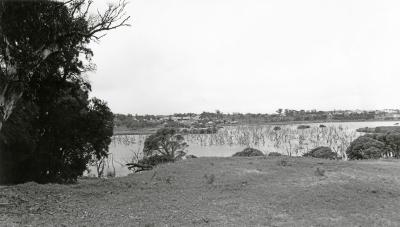
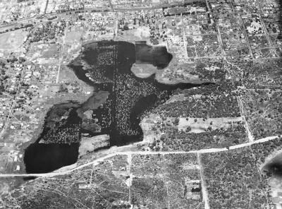
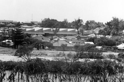
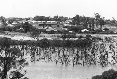
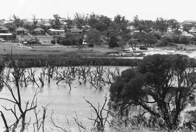
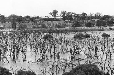
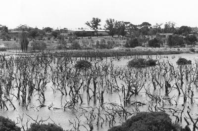
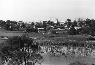
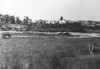
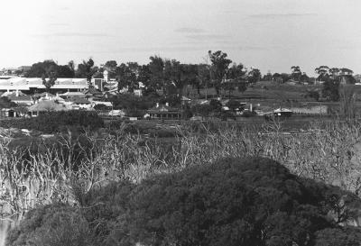
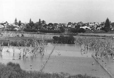
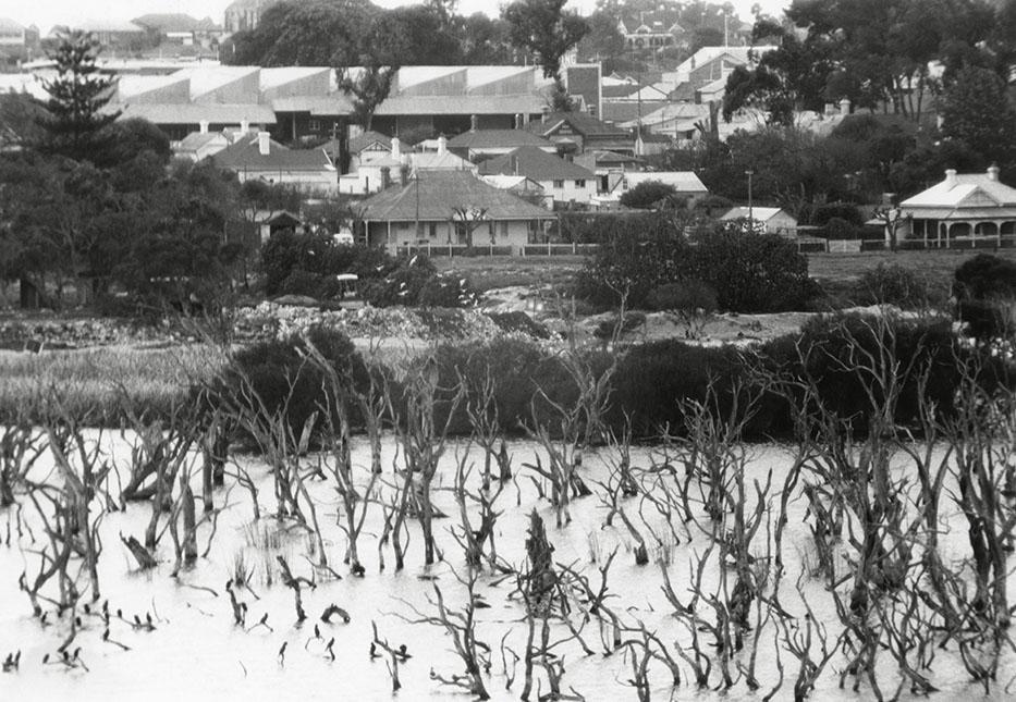
Butler's Swamp And Elliott Road During Infill
Looking east from the swamp across Elliott Road, Davies Road and Bays Transport Company building with St Thomas's Church in the background. A bulldozer surrounded by seagulls is levelling rubbish dumped by Claremont Council and local residents.
Details
Details
Open in Google Maps
Nearest geotagged records:
- Butler's Swamp Claremont (0km away)
- Canoes On Butler's Swamp (0km away)
- Gugeri Family, Butler's Swamp (0km away)
- Butler's Swamp (0km away)
- Butler's Swamp (0km away)
- Smith Brothers' Property Butler's Swamp (0km away)
- House Ruin At Butler's Swamp (0km away)
- Butler's Swamp From Alfred Road (0km away)
- Butler's Swamp During Conversion To Lake Claremont (0km away)
- Looking South Across Butler's Swamp (0km away)
Nearby places: View all geotagged records »
Copyright and Reference
Copyright and Reference
Acknowledgements to be made to 'Claremont Museum 98.136'.
More items like this
Other items from Town of Claremont Museum
- Butler's Swamp From Alfred Road Before Infill
- Mount Claremont From Butler's Swamp
- Aerial View Of Butler's Swamp In Flood
- Butler's Swamp East Towards Elliott Road
- Butler's Swamp East Towards Elliott Road
- Butler's Swamp During Infill
- Butler's Swamp East To Claremont Oval
- Butler's Swamp During Infill
- Butler's Swamp To Claremont Showgrounds
- Creating A Lake And Golf Course From Butler's Swamp
- Butler's Swamp To The East
- Flooded Section Of Stirling Road Butler's Swamp
Source: Claremont Museum 98.136
Scan this QR code to open this page on your phone ->

